Hello Friends,
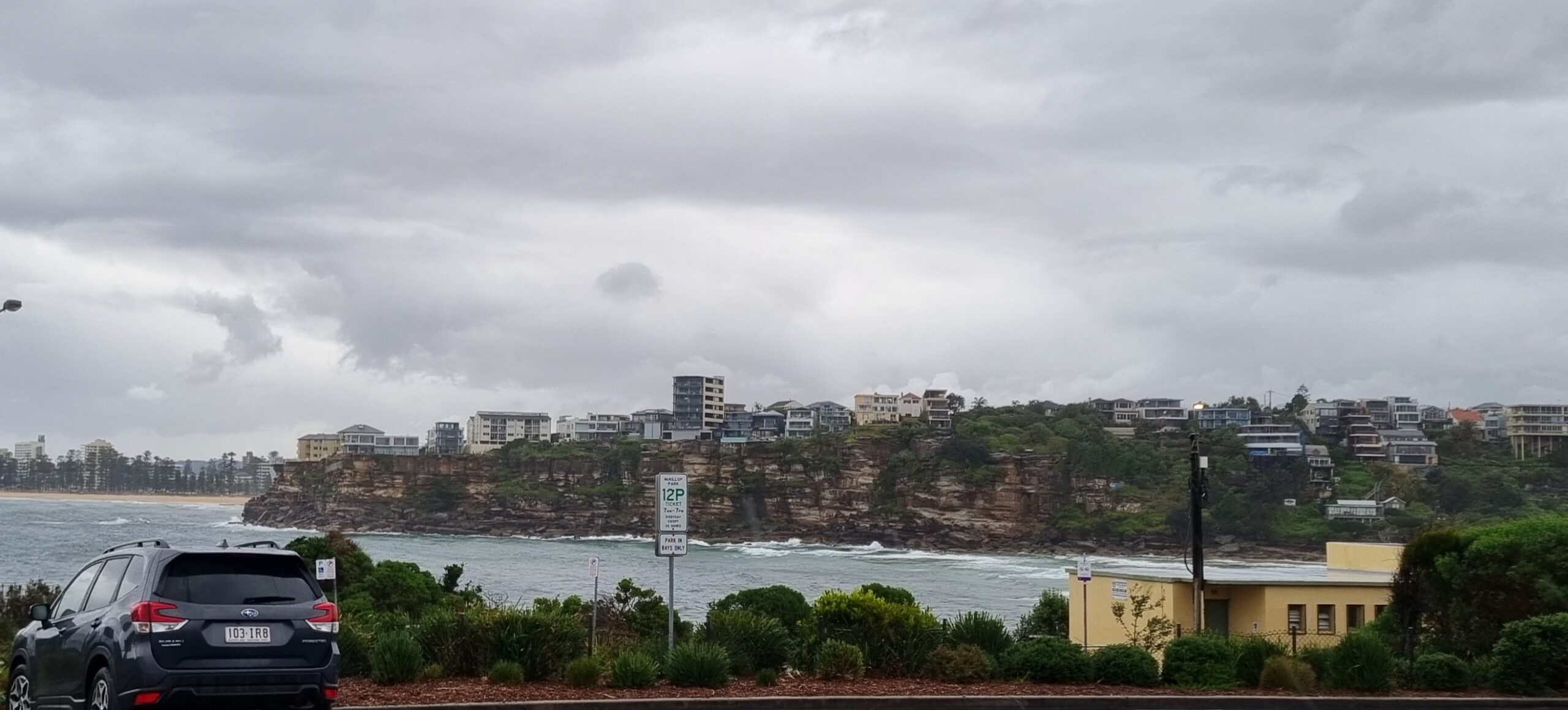
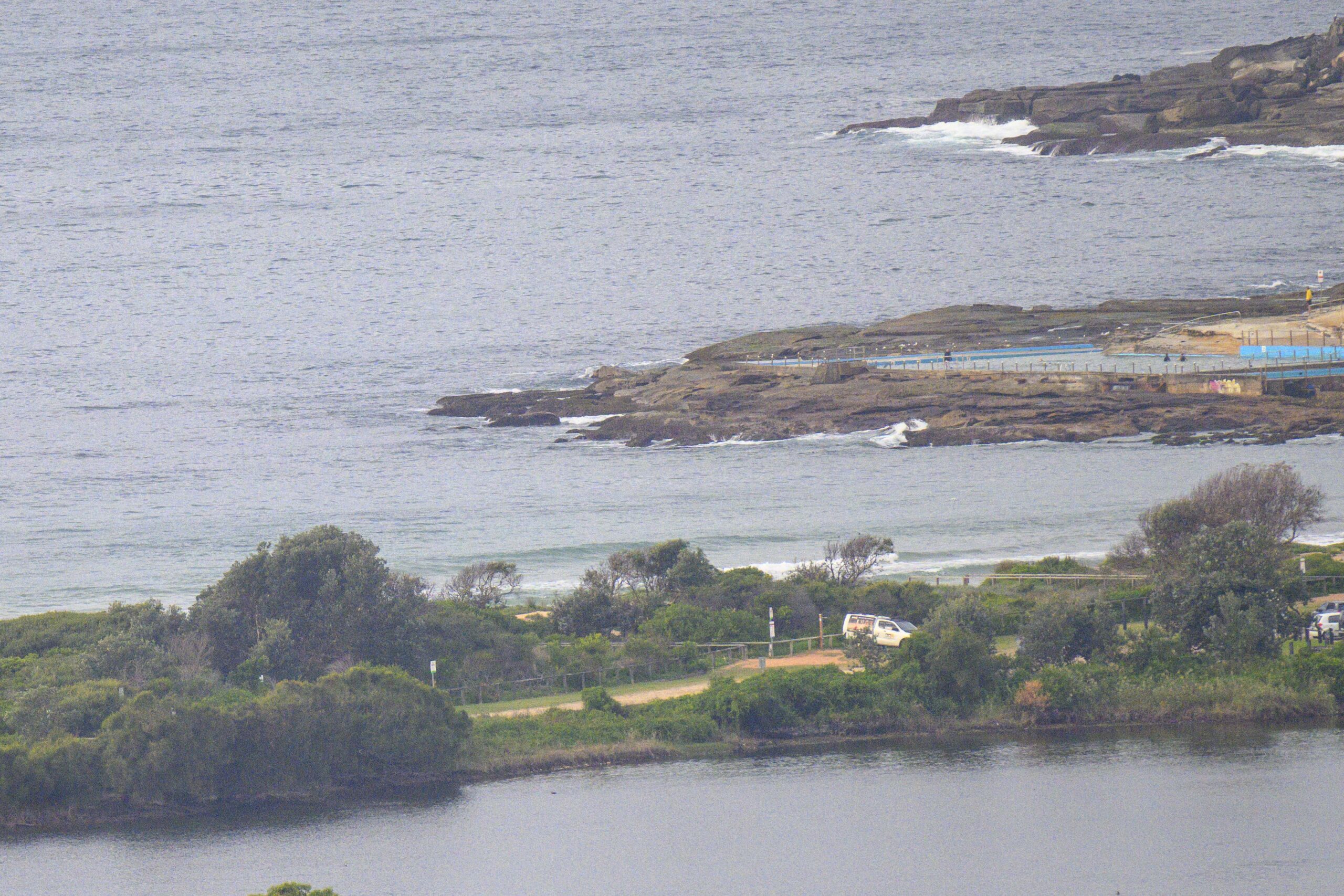
Looks like a typical summer’s day coming up. There’s a small ENE wind swell of around 1.5 metres at 9 seconds and the wind is out of the NE at about 10 kts as of 0800. At Dee Why these settings are converting into the occasional chest high waves at kiddies and thereabouts.
Another day for your favourite NE conditions spot.
Outlook is for these general settings to prevail until about Thursday afternoon when the Bureau tells us we can expect a strong south change to hit. After that we can expect strong southerly winds and showers through to about Monday when the wind should go more SW.
Last week it looked as though the swell might ramp significantly with the change to southerly conditions, but on current reckoning the outlook is for an increase, but it isn’t expected to be really big. At this stage I’m expecting wave faces in the head high plus range on sets at surfable spots and a bigger at those copping the full brunt of the southerly.
Have yourself a great Tuesday!
Tides: H @0925 L @1550
Weather Situation
A strong high near New Zealand extends a ridge to New South Wales north coast. The high will direct a dominating northeasterly airstream towards the coast today and during most of Wednesday. A cold front is expected to bring a southerly change to the south coast on Wednesday night extending to the central coast during Thursday.
Forecast for Tuesday until midnight
Winds
Northeasterly 15 to 25 knots.
Seas
1.5 to 2 metres.
Swell
Easterly 1.5 metres.
Wednesday 27 February
Winds
Northeasterly 15 to 20 knots turning northerly 20 to 25 knots in the afternoon.
Seas
1.5 to 2 metres.
Swell
Easterly about 1.5 metres.
Weather
The chance of thunderstorms in the early evening.
Thursday 28 February
Winds
Northerly 15 to 25 knots shifting southerly 20 to 30 knots during the day.
Seas
1 to 2 metres increasing to 2 to 3 metres during the evening.
Swell
Easterly 1.5 metres.
Weather
Isolated thunderstorms.


