Hello Friends,
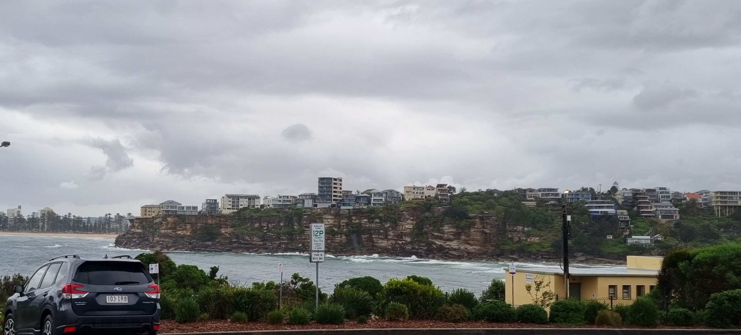
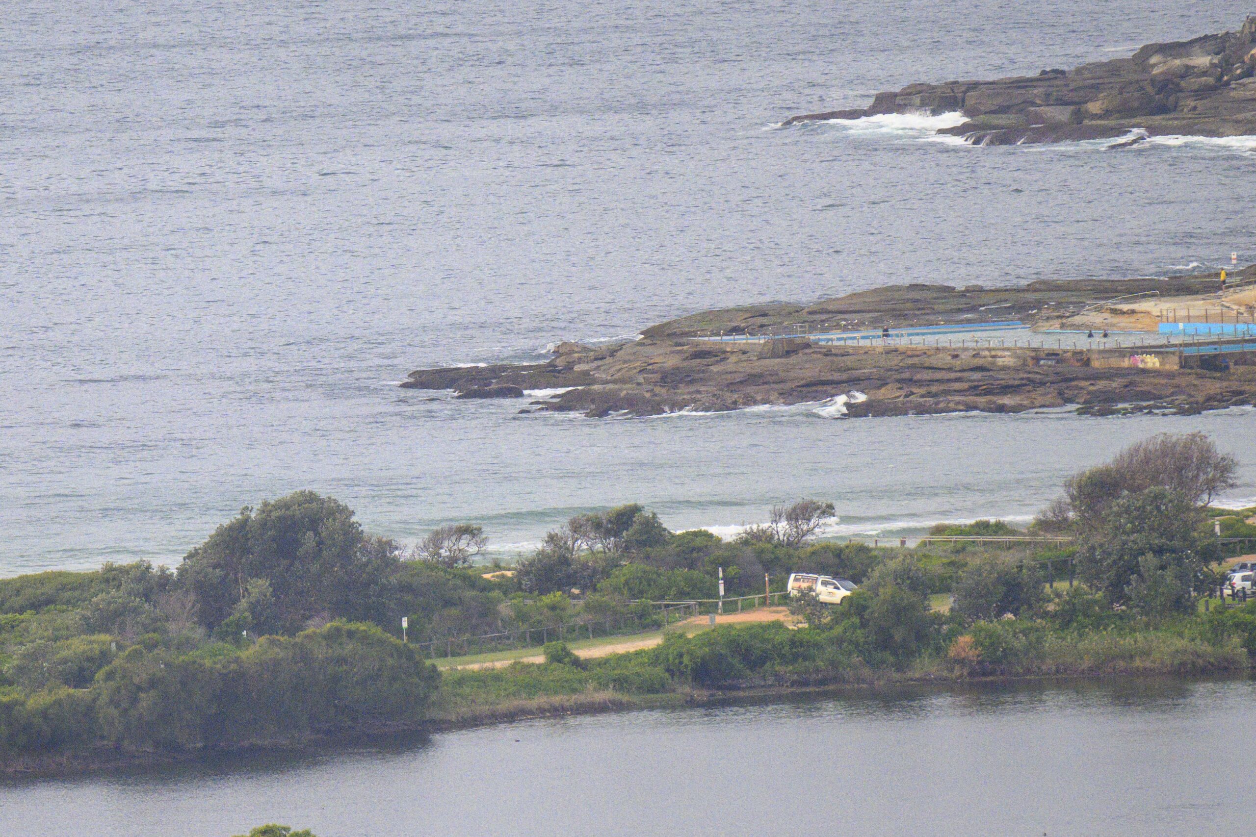
Into the grey and showery zone again. Well, the gardens can use it, even if it does mean unappetizing surf conditions. We do actually have a little more energy around than this time yesterday. It came up a bit in the afternoon and seems to have persisted overnight. Unfortunately, along with the drippy skies, we’re also getting 10-15 kts of easterly from the get-go. There’s nowhere to hide from that wind direction in Sydney, so everywhere will be pretty much the same – ie choppy, messy looking and generally blergh. Not that it matters much, but we’re heading to a high tide at about 1210.
The Bureau doesn’t expect the wind situation to improve much. It should go SE later (oh great), so that could open up a semi-opportunity here and there.
Tomorrow sees more of the SE, indeed, according to the Bureau’s modelling it’ll be picking up as we get going in the morning. On the good side, it should also sling in a little extra dollop of swell energy around midday. But given the wind conditions, it’s not going to be easy to find anything that isn’t pretty chopped up. On Thursday the Bureau reckons we’ll start out with SE wind and then it’ll swing NE for the afternoon. If the swell hangs in there, it could get fun on the dropping tide at some of the north corners… maybe… we can hope!
Long range outlook is for nothing much to change overall. It should occasionally be a bit bigger than it’s been since December, but the charts aren’t terribly interesting looking for the rest of the work week. Beyond that there are a few potential possibilities, but then that’s always the case!
Have yourself a fun Tuesday.
Weather Situation
A broad low pressure trough lies over inland New South Wales, while a high pressure system southwest of the Bight extends a ridge along the southern coast. A second trough is expected to deepen over the northeast later today and Wednesday. Later on Wednesday the high will strengthen over the southern Tasman Sea, pushing a ridge to the north coast while the inland trough shifts west. A cold front is forecast to move across the state during Friday and Saturday.
Forecast for Tuesday until midnight
Winds
Easterly 10 to 15 knots, reaching 20 knots offshore.
Seas
1 to 1.5 metres.
Swell
Northeasterly 1.5 metres, tending easterly 1.5 metres around midday.
Wednesday 22 January
Winds
East to southeasterly 10 to 15 knots tending south to southeasterly 15 to 25 knots in the morning.
Seas
Around 1 metre, increasing to 1.5 to 2 metres during the morning, then decreasing below 1.5 metres during the afternoon.
Swell
Easterly 1 to 1.5 metres, decreasing to around 1 metre around dawn, increasing to 1 to 1.5 metres inshore by evening.
Weather
Isolated thunderstorms offshore.
Thursday 23 January
Winds
Southeasterly 10 to 15 knots turning northeasterly 15 to 20 knots during the afternoon.
Seas
About 1.5 metres.
Swell
Southeasterly 1 to 1.5 metres, tending southerly.


