Hello Friends,
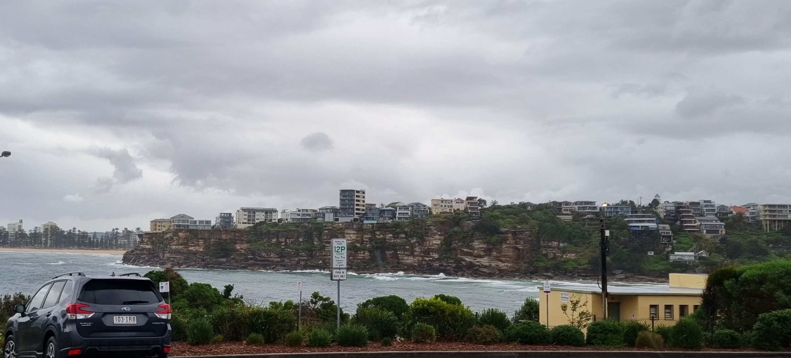
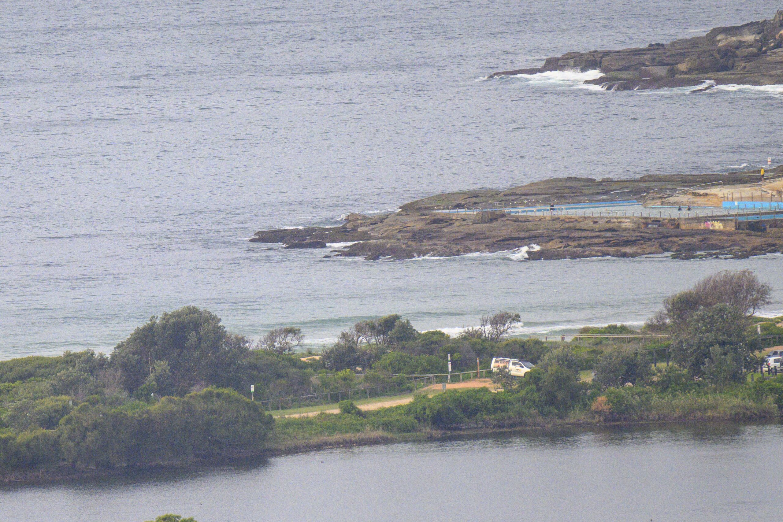
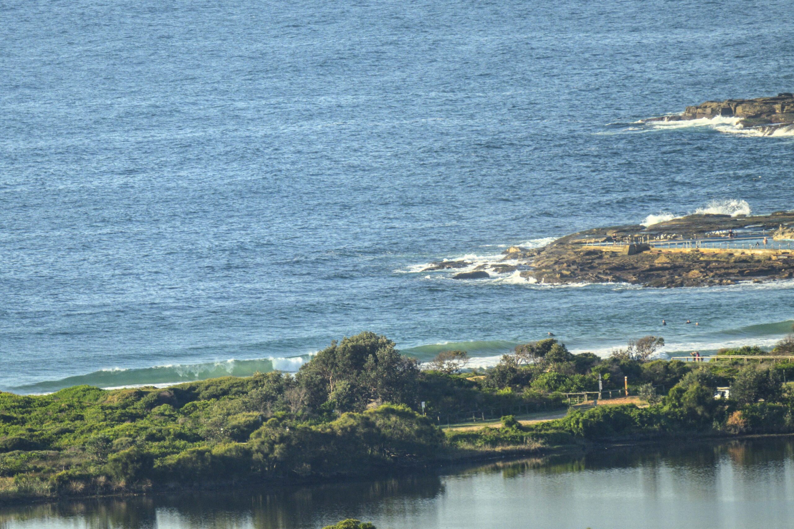
NNE wind was doing its thing from first light. At 0730 it was around the 10 kt mark and the forecast says it’ll build to 15-25 kts. There was still a bit of easterly wind swell about as the day got into gear. Unfortunately, the bank situation at the Dee Why end of the Longy-Dee Why stretch isn’t much good. In fact when I grabbed the snaps, it appeared to be one long shutdown from kiddies to north of the club and I couldn’t see anyone in the water having a go. Tide’s very high again and peaking at 1145. It’ll drop a couple of metres by 1810. The big swings will gradually moderate as we go along this week.
This morning’s offerings look like being repeated tomorrow and then we go into a couple of days of mainly east wind and a potentially mildly interesting E-SE pulse. Right now it looks like we might get some shoulder plus sets at exposed spots. Unfortunately the wind is due to be SSE to SE at the same time. Weather will be cloudy and we may even get a shower or two. If I had to punt on the best option this week, it’d be early Friday when the onshore should lighten up and there might still be a little SE swell left.
Time to get into your Monday, so keep on smilin’ and get up to some good!


Forecast issued at 4:10 am EDT on Monday 3 February 2014.
Weather Situation
A high pressure system over the Tasman Sea is very slowly moving east maintaining a ridge to New South Wales north coast, with northeasterlies strengthening from late Sunday or on Monday. As the high moves further east and the ridge weakens, a strong southerly change is expected to extend along the coast from the south on Tuesday and into Wednesday.
Forecast for Monday until midnight
Winds
Northeasterly 15 to 25 knots.
Seas
1 to 1.5 metres, increasing to 2 metres by early evening.
Swell
Easterly 1 to 1.5 metres, decreasing to around 1 metre around midday.
Tuesday 4 February
Strong Wind Warning for Tuesday for Sydney Coastal Waters
Winds
Northeasterly 15 to 25 knots turning southeasterly 20 to 30 knots in the morning.
Seas
1.5 to 2.5 metres.
Swell
Easterly around 1 metre, increasing to 1.5 metres around dawn, then decreasing to around 1 metre around midday.
Wednesday 5 February
Winds
Southeasterly 20 to 25 knots, decreasing to 10 to 15 knots during the evening.
Seas
1.5 to 2.5 metres, decreasing below 1.5 metres during the morning.
Swell
Southerly 1.5 to 2 metres, tending southeasterly 1.5 to 2 metres during the afternoon.


