Hello Friends,
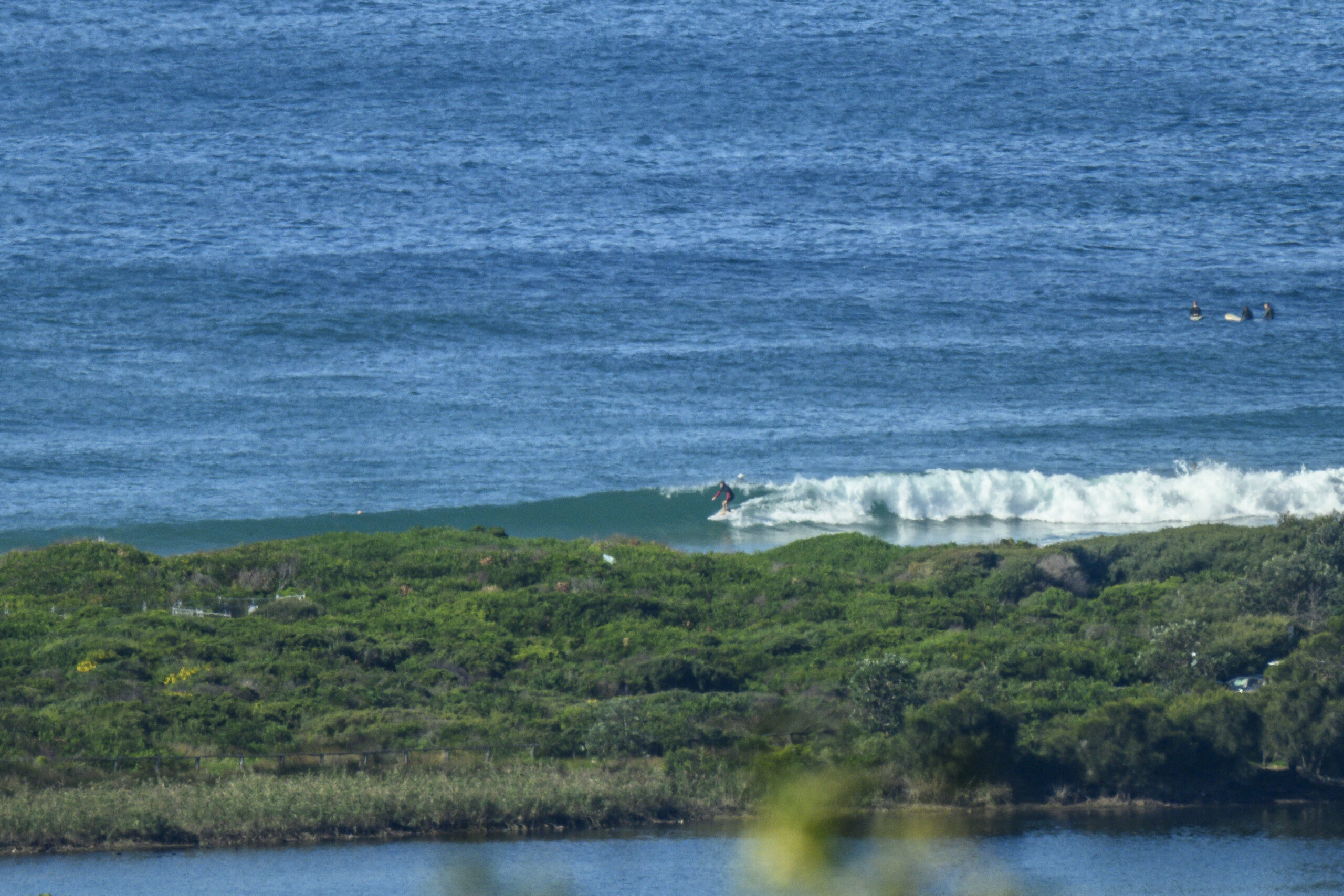
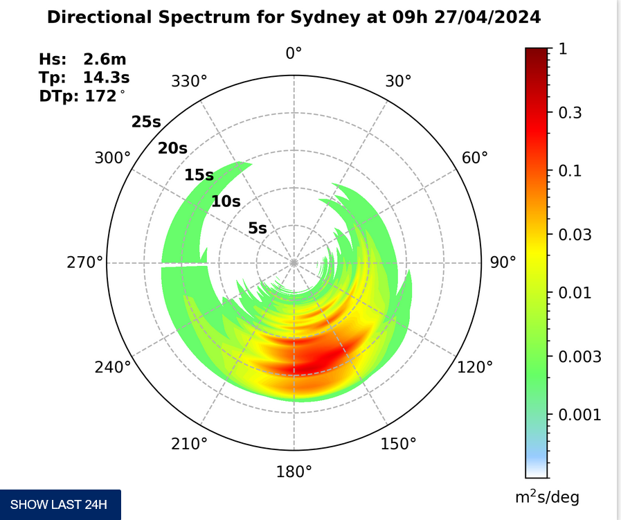
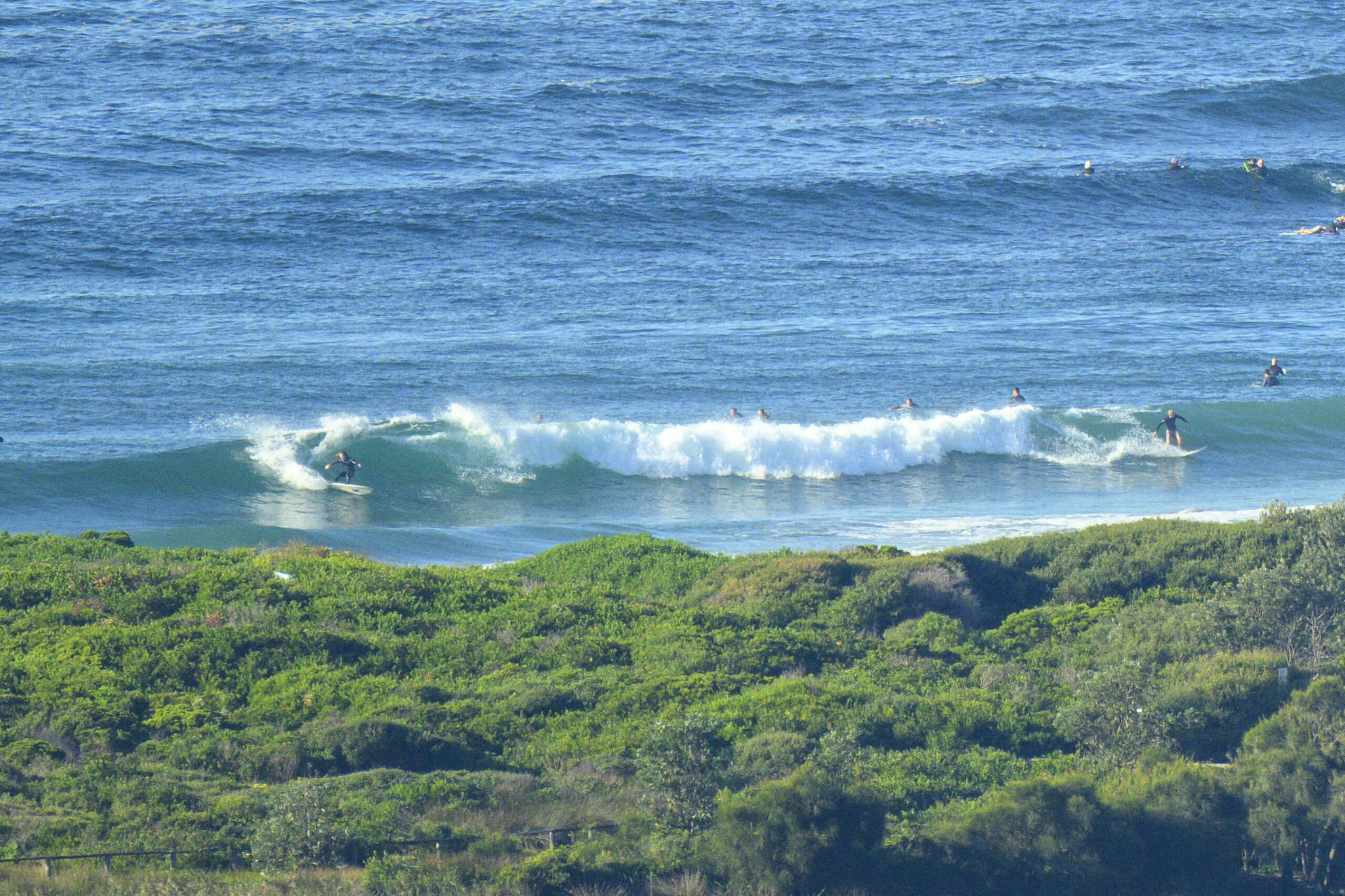
Short period SSE wind swell of around two metres is pushing in along with 20+ knots of SSE wind. Looks like a morning for non-surfing activities to me. The wind’s expected to go around to the east to SE, so there’s no obvious prospect of an improvement today. And just for good measure, it’ll be on again off again drizzly.
Tomorrow’s seems to be much the same, although the wind is supposed to go NE in the morning, so maybe, possibly it’ll be a little more hopeful – at least in the north corners.
Outlook on the long range models isn’t quite as hopeful as yesterday.The slight upward trend is still evident in the predictions for mid-March, but the prospects are somewhat less hopeful. C’mon the waves of autumn!
Have yourself a great Friday everyone!
Tides: H @0810, L @1445

Weather Situation
A trough near the Central Coast slowly moves towards the North Coast this evening, weakening as it stalls in the far north for the rest of the weekend. This trough is steered northwards by a high pressure system developing west of Tasmania today. The high will persist over the western Tasman Sea this weekend, strengthening into the new week.
Forecast for Friday until midnight
Winds
South to southeasterly 15 to 20 knots tending east to southeasterly 10 to 15 knots this evening.
Seas
1 to 1.5 metres, decreasing below 1 metre during the afternoon.
Swell
South to southeasterly around 1 metre.
Saturday 1 March
Winds
East to southeasterly 10 to 15 knots tending northeasterly 15 to 20 knots in the morning.
Seas
Around 1 metre, increasing to 1 to 1.5 metres offshore during the afternoon.
Swell
East to southeasterly around 1 metre.
Sunday 2 March
Winds
East to northeasterly 10 to 15 knots becoming east to southeasterly during the morning.
Seas
Around 1 metre.
Swell
Easterly around 1 metre.


