Hello Friends,
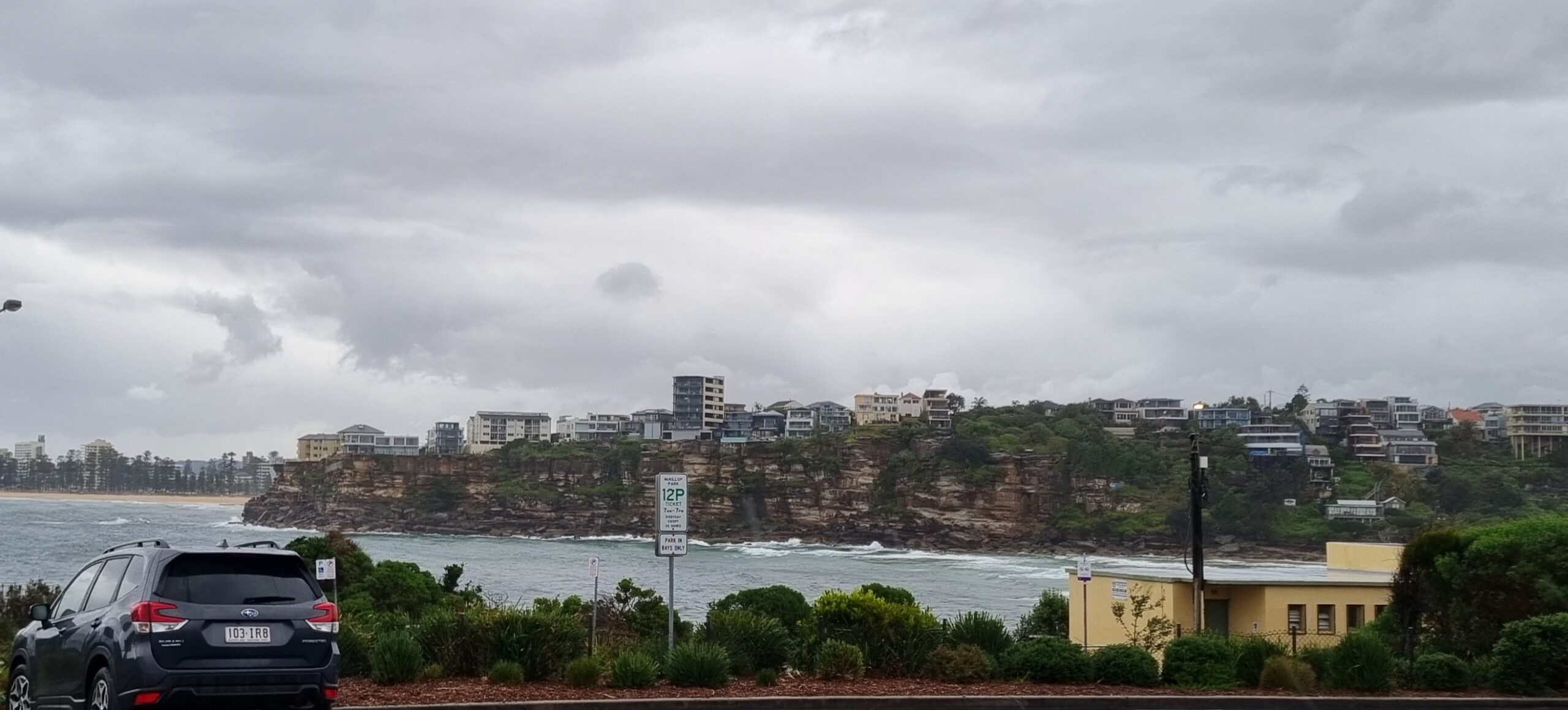
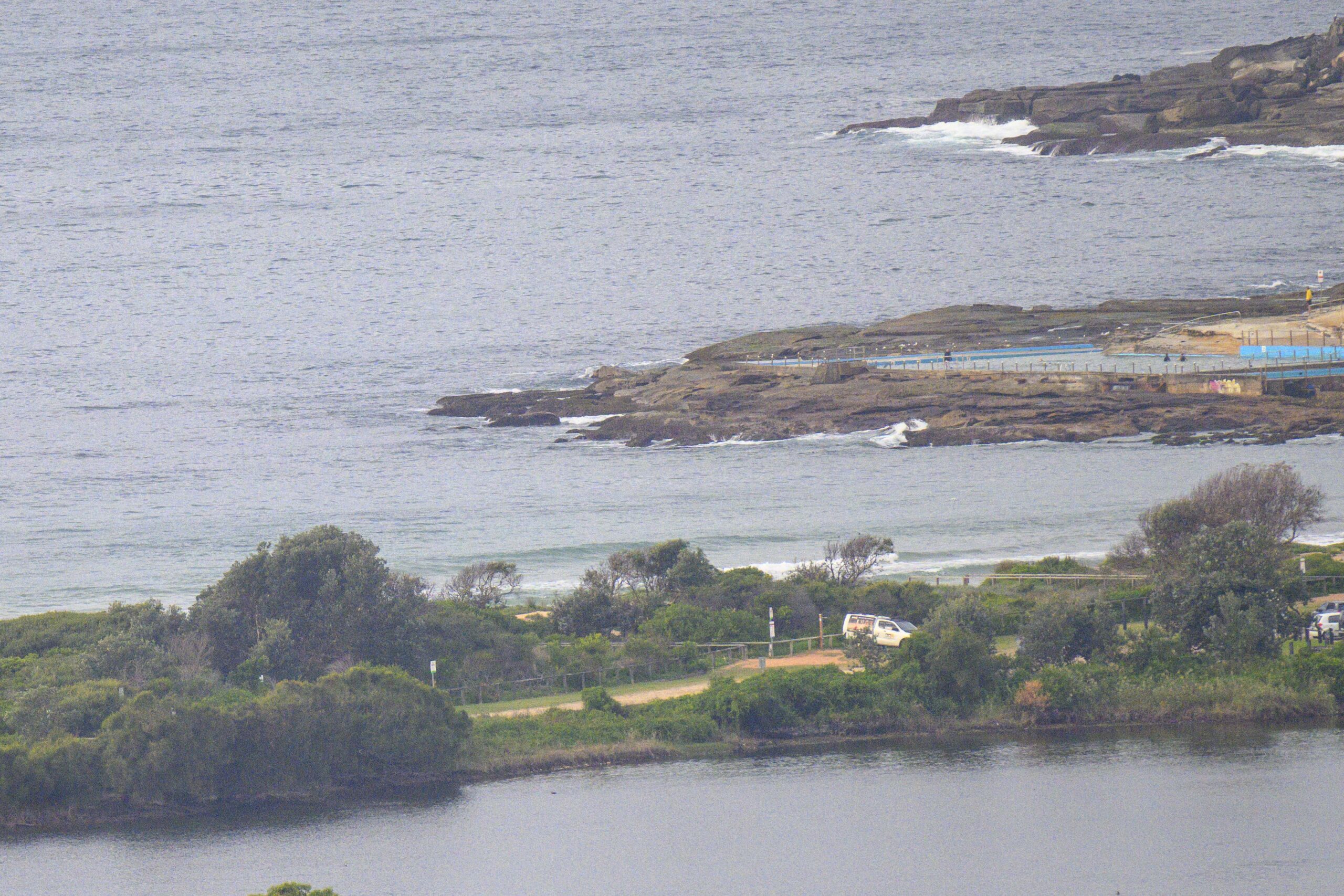
A rum old morning in the news and no sign of the swell yet. It’s flat as a tack from Eden to Byron as of 0700. Wind is WSW 15-20 kts as I write this, but it’s due to get up into the 30-40 kt range later, with peaks up to 45 kts this afternoon. The Bureau says the swell will be with us by then when we could be seeing 4-5 metres of south swell marching in. And that isn’t all, because the forecast is for 5-6 metres(!!) tomorrow. The wind tomorrow is supposed to swing southerly and to stay that way through Sunday. Swell is set to drop on Sunday, but we’re still talking 2.5-3 metres by the end of the day. Pretty obviously the next few days won’t be offering anything approachable for beginners and there will likely only be one or two super protected spots that could be in the scope of an intermediate. I’ll be keeping an eye on the ocean for signs of the swell arrival, so check back later to see how it’s rolling. Hope your Friday goes well!


Weather Situation
A complex low pressure system will deepen over the Tasman Sea to east of Tasmania today, with a small low centre likely to move northwards offshore from the southern and then central coast during the day. Winds are expected to turn gale-force southwesterly over most coastal waters as this system develops. By tonight night the main low centre should lie over the central Tasman Sea and is expected to move only slowly to the east on Saturday as a high moves towards western NSW. A significant easing in the wind is expected Sunday as the high moves towards the east of the state.
Forecast for Friday until midnight
Gale Warning for Friday for Sydney Coast
- Winds
- Westerly 20 to 25 knots tending southwesterly and increasing to 30 to 40 knots during the day, winds reaching up to 45 knots later in the afternoon and evening.
- Seas
- 2 to 3 metres, increasing to 3 to 4 metres around midday, and reaching to 4 to 5 metres offshore.
- Swell
- Southeasterly below 1 metre, tending southerly 4 to 5 metres during the afternoon.
- Weather
- Isolated thunderstorms from the late morning.
- Caution
- Large and powerful surf conditions are expected to be hazardous for coastal activities such as crossing bars by boat and rock fishing.
Saturday 19 July
Gale Warning for Saturday for Sydney Coast
- Winds
- Southwesterly 25 to 35 knots, turning southerly early in the morning.
- Seas
- 3 to 4 metres, decreasing to 3 metres during the afternoon.
- Swell
- Southerly 5 to 6 metres, 3 to 4 metres inshore.
- Weather
- Scattered thunderstorms.
- Caution
- Large and powerful surf conditions are expected to be hazardous for coastal activities such as crossing bars by boat and rock fishing.
Sunday 20 July
- Winds
- Southerly 20 to 30 knots decreasing to 10 to 15 knots during the evening.
- Seas
- 2 to 3 metres, decreasing to 2 metres during the afternoon or evening.
- Swell
- Southerly 3 to 4 metres inshore and up to 5 metres offshore, decreasing to 2.5 to 3 metres during the afternoon.


