Hello Friends,
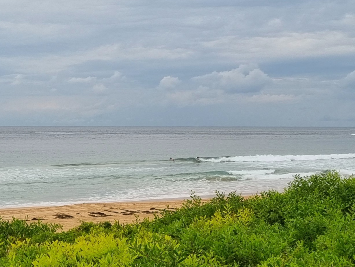
Another day of showers ahead, but at least the early risers had a) some waves and b) minimal wind. The MHL buoy was picking up 1.6 metres of SE swell at 9 seconds apart. At Dee Why that translated into inconsistent waist to chest and a bit sets with longish lulls for those in the water before 0700. Some of the general fatness could probably be put down to the incoming tide (high at 0730).
The Bureau tells us they expect the wind to be e to se (blah) at 10-15 kts today and they think the swell will fade a touch and swing more to the east this afternoon. Chance of further showers is 80%.
All the much needed rain has begun to take a real toll on the water quality. This morning’s pollution report is showing possible pollution along the entire Manly stretch, at north Curly, at Dee Why, Longy, Collaroy, North Narra, Newport and Bilgola.
Outlook for the rest of the weekend is looking like much of the same, ie light breezes early, gradually picking up into the dribbly onshore range later. Lots of rain and marginal SE swell in the knee to waist plus range at spots that pick it up.
It looks very much as though we’re going to get another east coast low forming up though and the energy levels seem likely to be going up from Monday afternoon onward. As the Goat says, these things are inherently unpredictable, but if the computer models have it right, we could well have big to very big mainly east swell by midweek (how does 5 metres sound?). The problem will be lots of wind from the onshore quarters and continuing water quality issues.
With any luck, there’ll be a few opportunities for fun size surf by this time next week. In between now and then will likely be a challenge.
Have yourself a great Saturday everyone!


Weather Situation
A strong high pressure system is centred over the southern Tasman Sea, with a trough offshore from the northern coast of New South Wales. These two systems will dominate the weather over the weekend as the high drifts slowly east allowing the trough to extend south over the central parts of the coast into the new week where it is expected to deepen.
Forecast for Saturday until midnight
- Winds
- East to southeasterly 10 to 15 knots.
- Seas
- Below 1 metre.
- Swell
- Southeasterly 1 to 1.5 metres, tending easterly around 1 metre during the afternoon.
- Weather
- Isolated thunderstorms offshore early this morning.
Sunday 24 August
- Winds
- East to southeasterly about 10 knots.
- Seas
- Below 1 metre.
- Swell
- Easterly around 1 metre.
Monday 25 August
- Winds
- Variable about 10 knots.
- Seas
- Below 0.5 metres.
- Swell
- Easterly 1 to 1.5 metres, increasing to 1.5 to 2 metres during the afternoon or evening.
- Weather
- The chance of thunderstorms.

