Hello Friends,
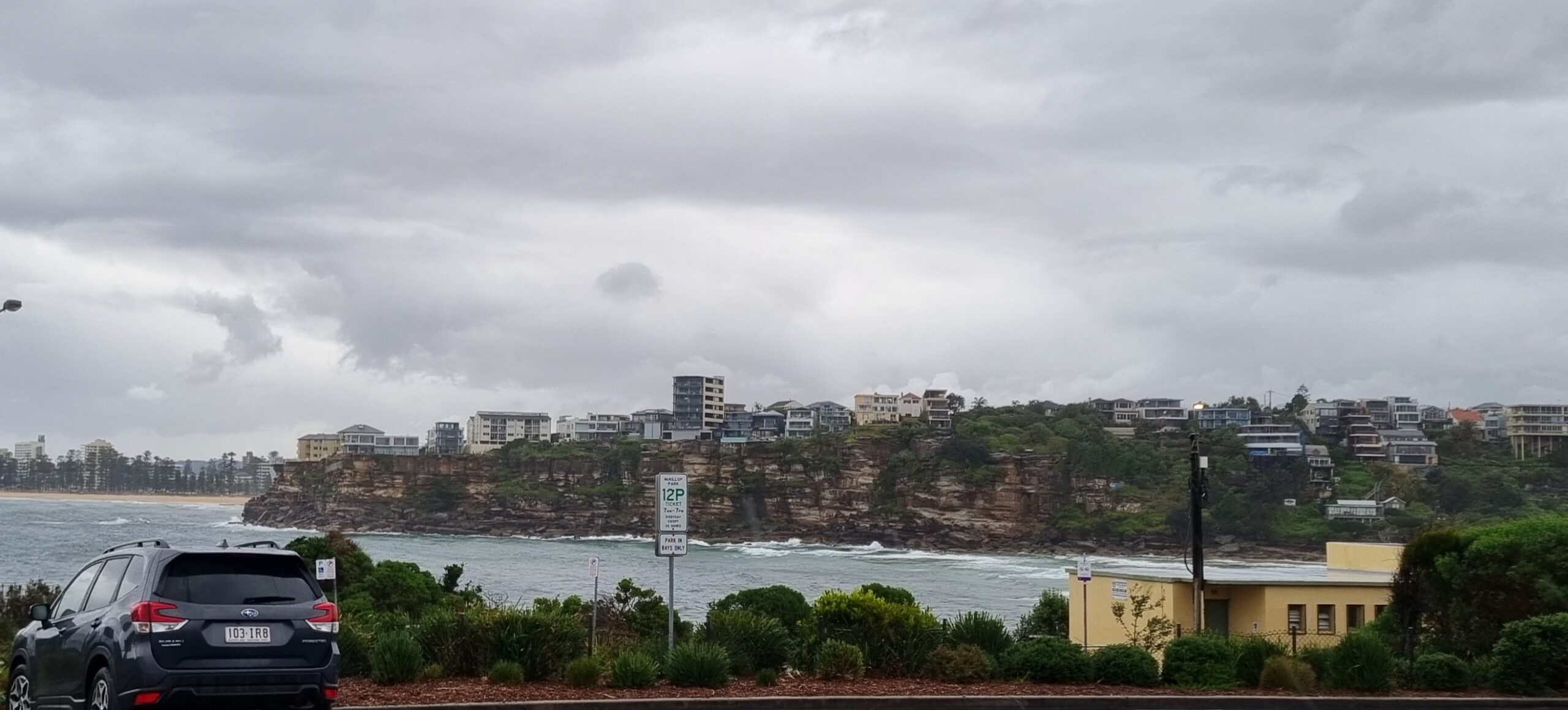
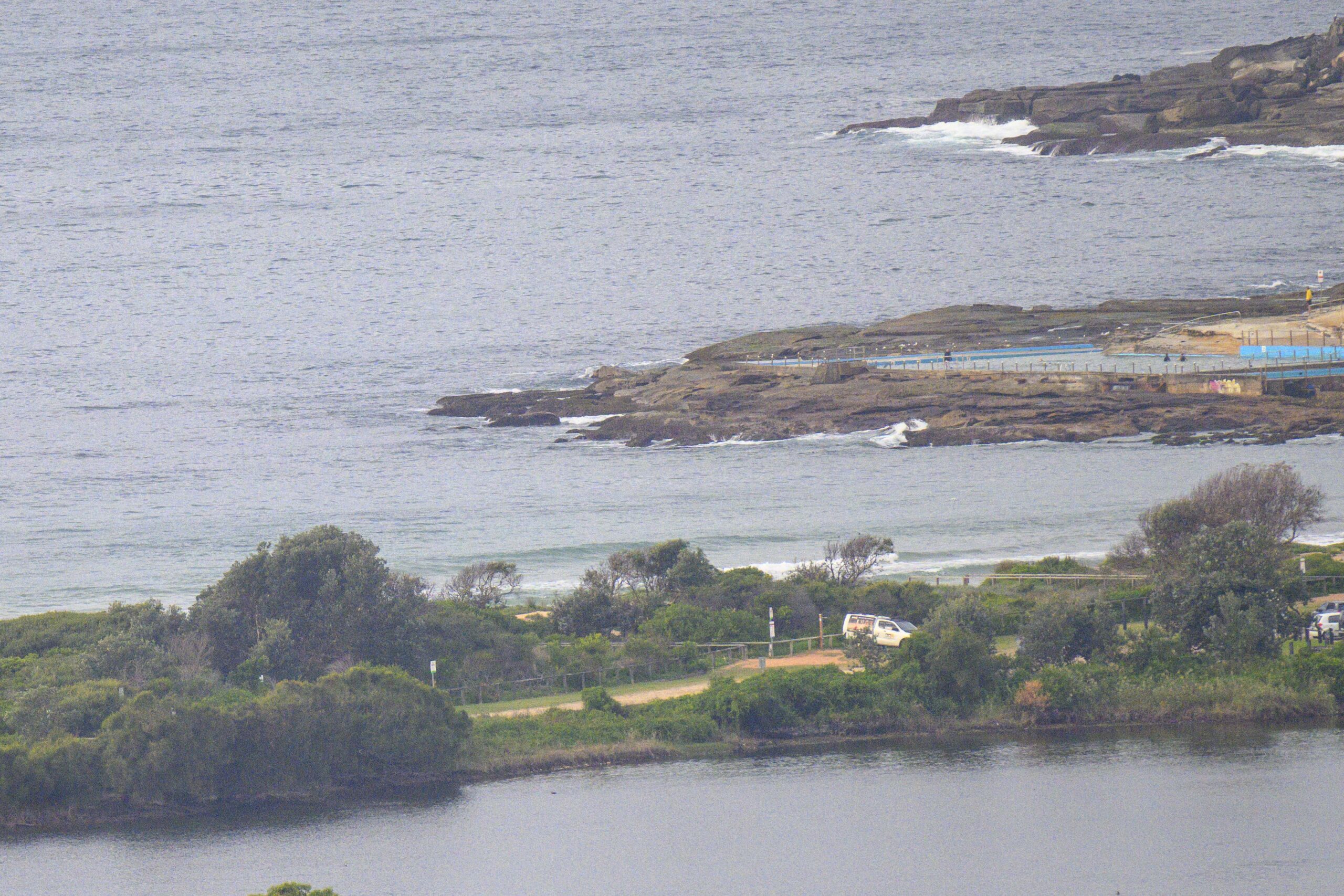
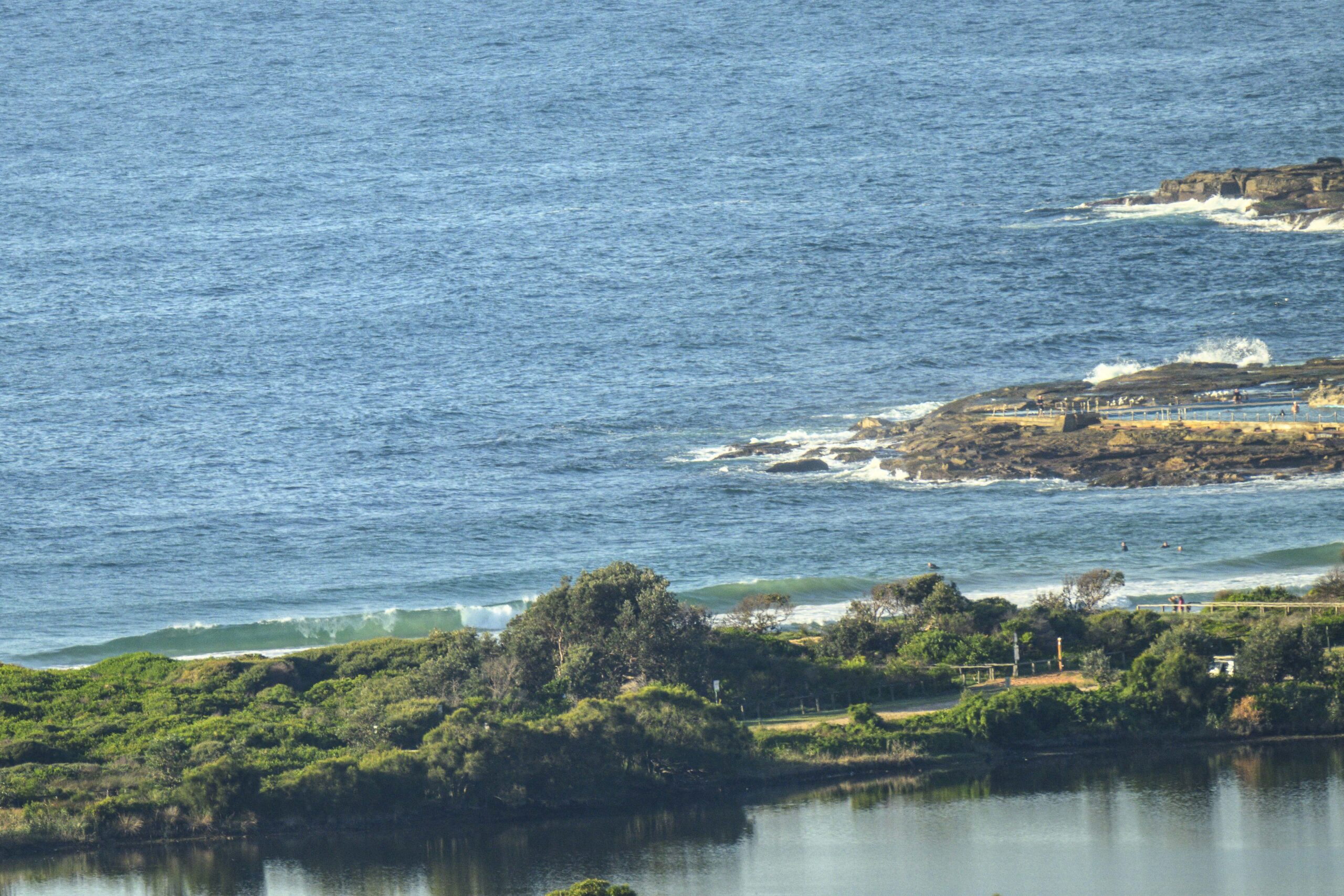
Early risers scored at Dee Why this morning. Skies were mostly clear, wind was lightly offshore and the swell was coming in from 140-degrees (SE) at 2 metres and nearly 11 seconds apart. This meant chest to shoulder with the odd solidly overhead bomb at 0715. Tide was coming in off the low at 0515.
The beach looked the part from time to time, but given the small number of punters and the obvious shutdowns, I’d say it’d be a real workout chasing waves there.
Given the conditions, there should be waves lots of places early. The Bureau says it’ll go southerly later to 15-20 kts, before it backs off on dusk. Swell should fade through the day, but it shouldn’t go flat and tomorrow and Tuesday look like being worthy of consideration for the north corners when the Bureau tells us they expect swell to be in the 1-1.5 metre range from the SE, shifting east late Monday.
Midweek is looking rather promising on the forecast models too. Some are projecting close to 4 metres of south at 10+ sec with strong SW wind and clear skies.
Have yourself a terrific Sunday everyone!


Weather Situation
A complex low pressure system lies over the central Tasman Sea, while a high over New Zealand extends a ridge into southeast Australia. The low over the Tasman Sea is expected to gradually shift towards New Zealand over the weekend. Wind and swells along the New South Wales coast are easing as the low moves away and weakens. A cold front from the Southern Ocean is expected to reach the Eden Coast Monday night with a gusty southwest change forecast to move up the coast during the Tuesday.
Forecast for Sunday until midnight
- Winds
- Southerly 15 to 20 knots becoming variable about 10 knots in the late afternoon.
- Seas
- 1 to 1.5 metres, decreasing to 1 metre around midday.
- Swell
- Southeasterly 1.5 to 2 metres, decreasing to 1.5 metres later in the evening.
Monday 1 September
- Winds
- North to northwesterly below 10 knots increasing to 10 to 15 knots early in the morning then tending north to northeasterly in the middle of the day. Winds reaching up to 20 knots offshore in the evening.
- Seas
- Below 1 metre, increasing to 1 to 1.5 metres by early evening.
- Swell
- Southeasterly 1 to 1.5 metres, tending easterly around 1 metre by early evening, then increasing to 1 to 1.5 metres later in the evening.
Tuesday 2 September
- Winds
- Northerly 15 to 20 knots shifting southwesterly during the morning then increasing to 20 to 30 knots during the day.
- Seas
- 1 to 1.5 metres, increasing to 2 to 3 metres during the afternoon.
- Swell
- Easterly 1.5 metres, tending southeasterly 1.5 metres during the evening.


