Hello Friends,
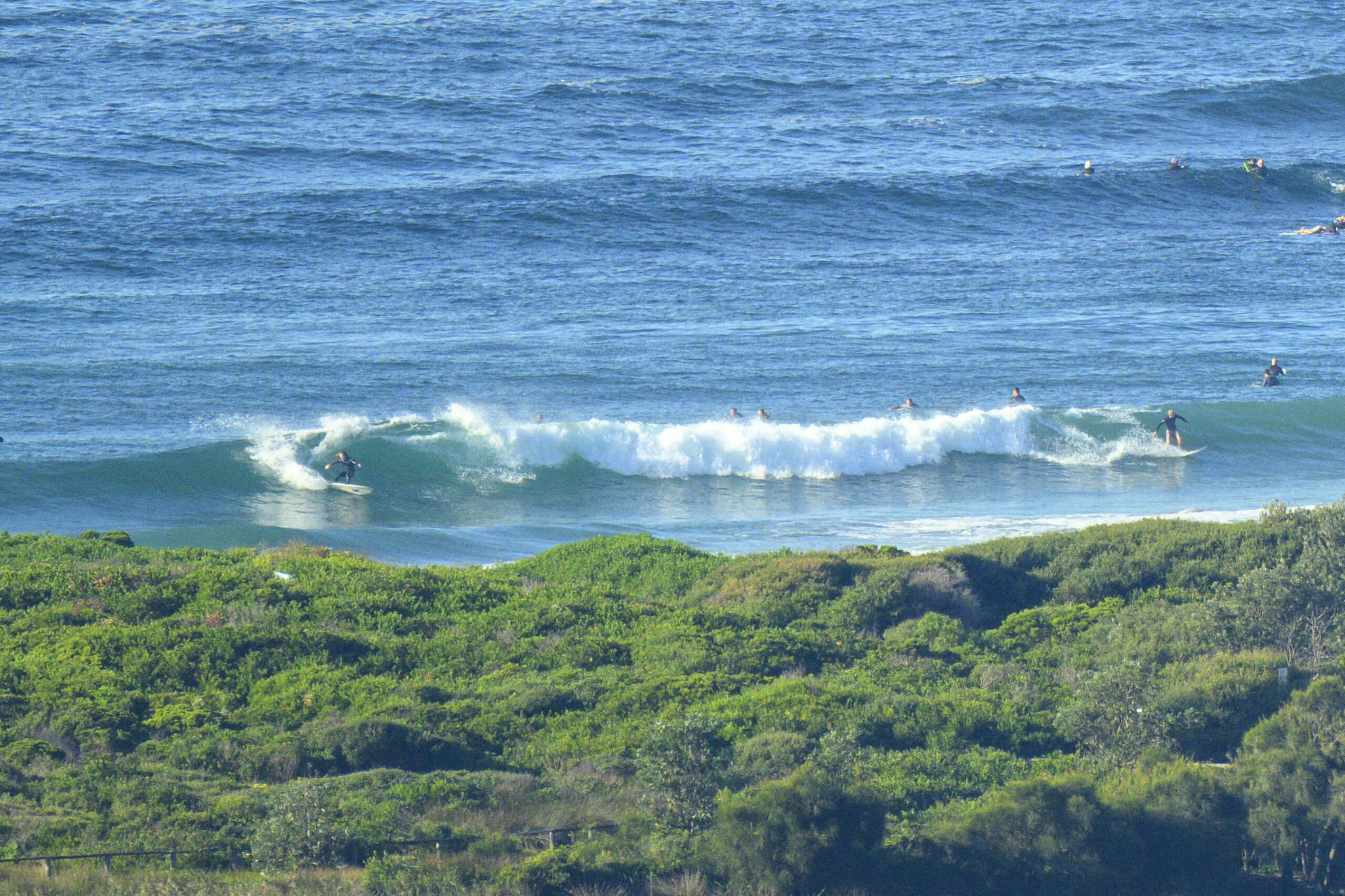
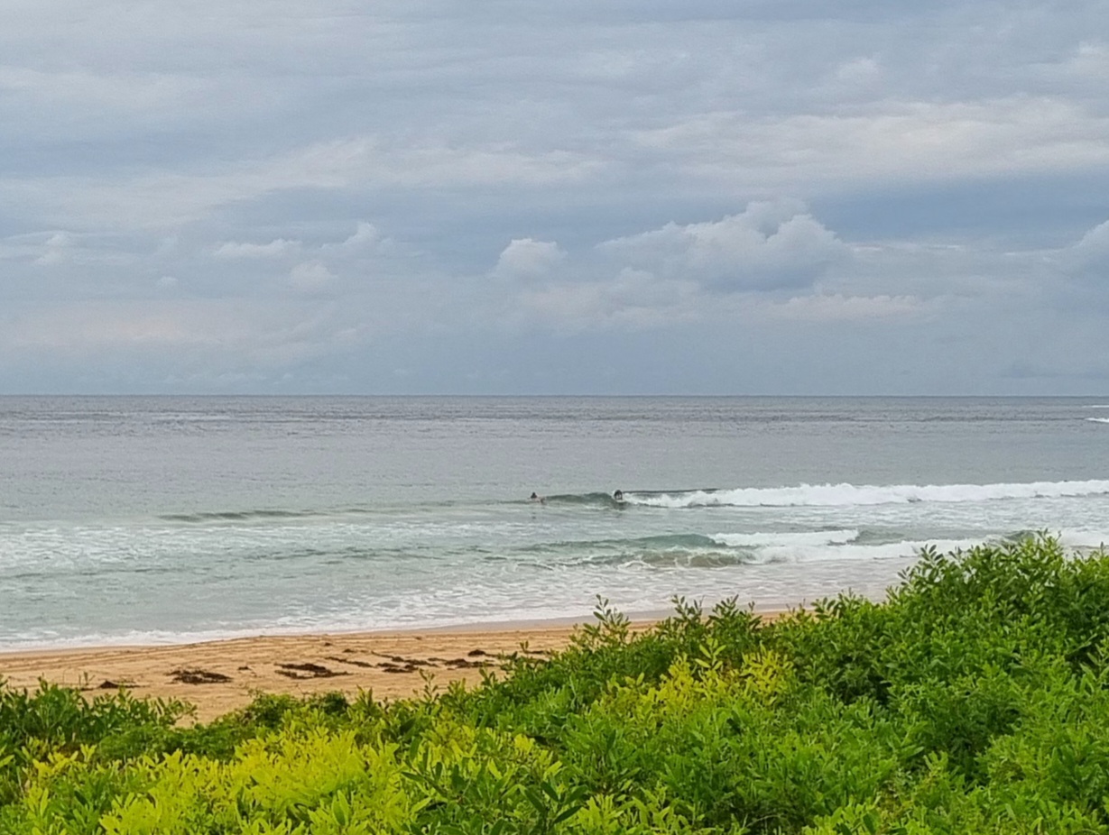
Still some swell this morning. The MHL buoy registered 3 metres of ESE at nearly 11 seconds an hour or two ago. Wind was light and SW early, but there were on again off again showers and as of 0730 it was only 10C outside the RealSurf wheelhouse. Set wave faces at Dee Why point (nobody was in the beachy when I checked) ranged from waist plus to maybe shoulder, but given the swell, I’m sure there are more than a few bombs still lurking.
Outlook as the Goat says is for a steady decline in swell energy. Plus the wind call is for SE 15-20 kts, so that won’t help what is a mainly scrappy swell. The open beaches aren’t happening and the corners are getting smaller.
Have yourself some fun and good luck if you get in ’cause that water is looking kinda woofy to me!
Tide was high at 0530


Weather Situation
A strengthening high pressure system centred to the west of Bass Strait is directing generally southerly winds along the New South Wales coast, which will ease and turn more easterly through the weekend as the high shifts to the southern Tasman Sea. This high is forecast to remain the dominant feature in the region for several days, before the next cold front arrives mid-week.
Forecast for Saturday until midnight
- Winds
- Southeasterly 15 to 20 knots.
- Seas
- 1 to 2 metres.
- Swell
- Southeasterly 1.5 to 2.5 metres.
Sunday 7 September
- Winds
- East to southeasterly about 10 knots.
- Seas
- Below 1 metre.
- Swell
- Southeasterly 1 to 1.5 metres.
Monday 8 September
- Winds
- North to northeasterly 15 to 20 knots.
- Seas
- Around 1 metre, increasing to 1.5 metres during the afternoon or evening.
- Swell
- Southeasterly around 1 metre.


