Hello Friends,
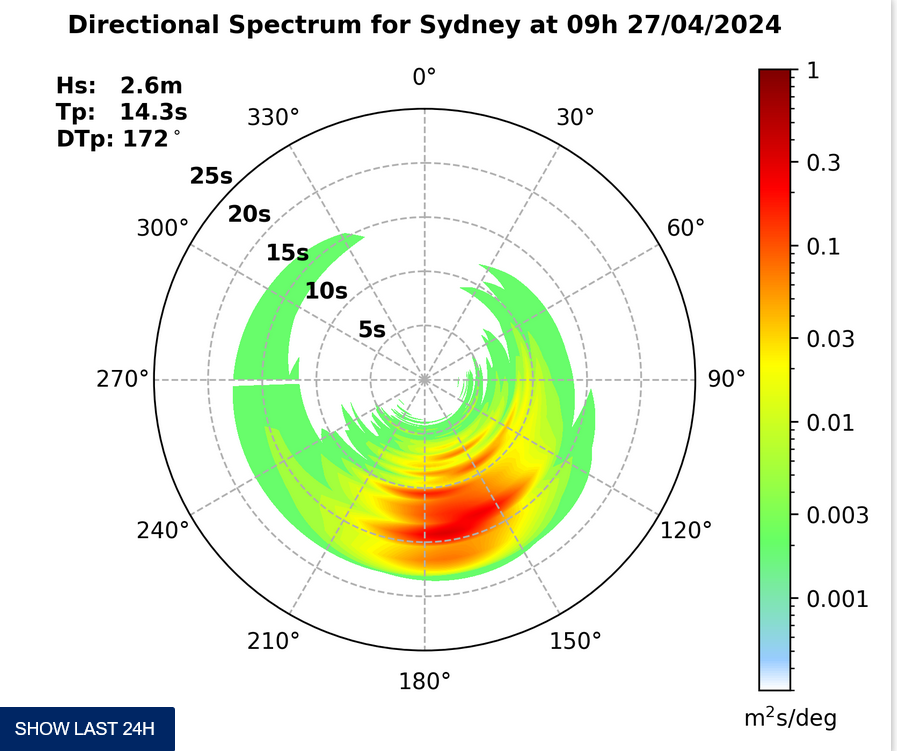
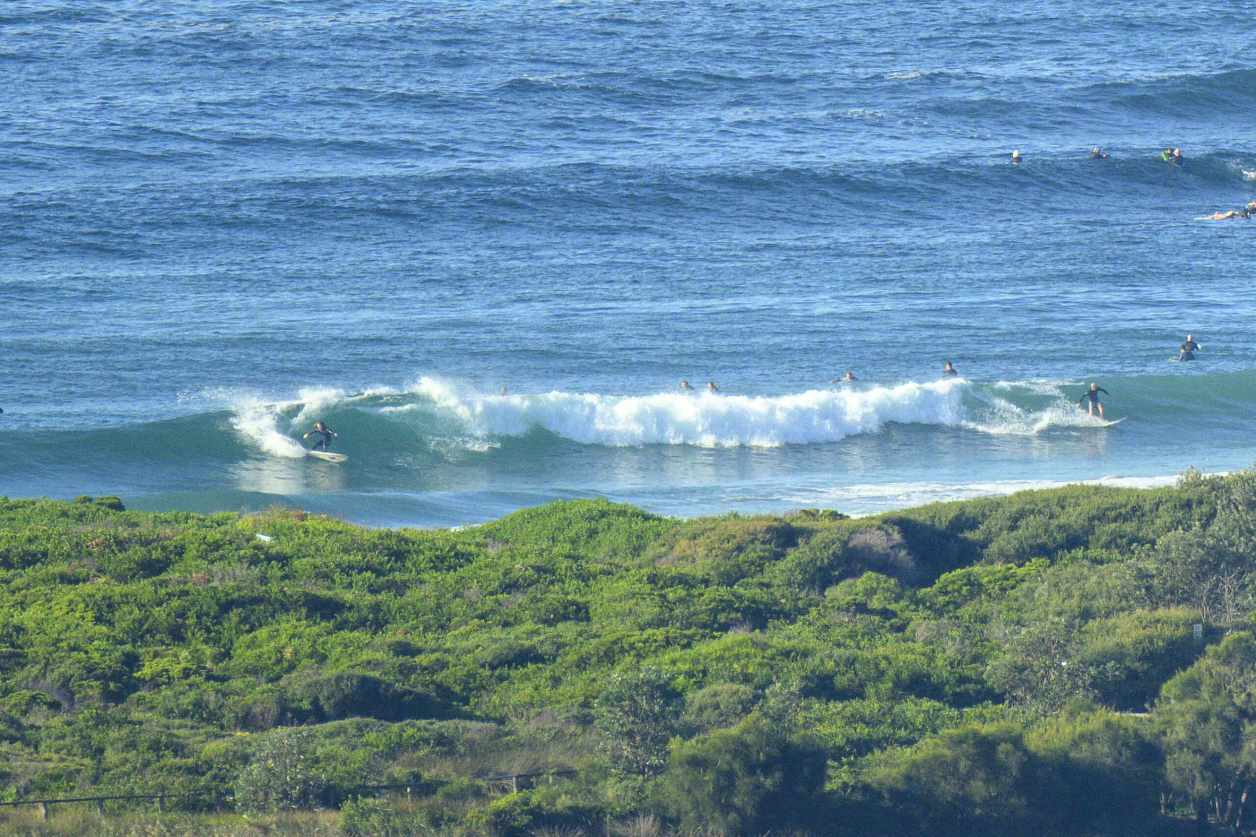
Glassy start to proceedings this morning at Dee Why. At first I thought it was actually flat, which was surprising given the activity at dark last night, but it turned out that there were in fact occasional sets in the waist plus range. The MHL data shows about 1.5 metres from the SE at about 7 seconds apart.
Tide’s still coming in to the high at 0930 (it’ll be low again at 1600).
Beachwatch is reporting pollution possible at Bilgola, Newport, North Narrabeen, Collaroy, Freshie and Manly. Worse, they have a pollution likely warning for Longy, Curly and Queensie.
Wind should be picking up soon from the south and getting into the 15-20 kt range. Bureau expects the swell to be around the metre mark today, but tomorrow, along with dropping SE wind, a fresh south pulse should build during the morning. The models are saying it could be relatively long period (14 sec according to one estimate). So, there should be waves, but surface conditions aren’t looking too promising for most spots, plus there’s an 80% chance of showers today, so the pollution picture could be problematic as well.
Friday could be windy and a but smaller again, although not quite as much as later today and Saturday could see some south swell still in the picture with light wind conditions for the early.
Have yourself a really, really great Wednesday one and all!


From earlier…


Weather Situation
A strong high pressure system south of the Bight is moving slowly east and is directing a southwest to southeasterly airstream along the NSW coast. The high is expected to be centred to the east of Tasmania by Friday and further east over the Tasman Sea on the weekend. Southeast winds are expected to tend northeasterly in the south later on Friday and over the weekend as the high pressure ridge pushes north along the coast.
Forecast for Wednesday until midnight
- Winds
- Southerly 15 to 20 knots turning southeasterly 20 to 25 knots in the late evening.
- Seas
- Around 1 metre, increasing to 1.5 to 2 metres during the morning.
- Swell
- Southeasterly around 1 metre.
- Weather
- Partly cloudy. 70% chance of showers.
Thursday 5 February
- Winds
- Southeasterly 15 to 25 knots decreasing to 10 to 15 knots in the morning.
- Seas
- 1.5 to 2 metres, decreasing to 1 metre during the morning.
- Swell
- Southerly 1 to 1.5 metres, increasing to 2 to 2.5 metres during the morning.
- Weather
- Partly cloudy. 50% chance of showers.
- Caution
- Large and powerful surf conditions are expected to be hazardous for coastal activities such as crossing bars by boat and rock fishing.
Friday 6 February
- Winds
- Southeasterly 10 to 15 knots tending about 10 knots during the evening.
- Seas
- Around 1 metre.
- Swell
- Southerly 1.5 to 2 metres, tending 1.5 metres during the afternoon.
- Weather
- Partly cloudy. 50% chance of showers.


