
Hello Friends,
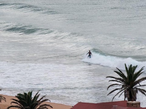
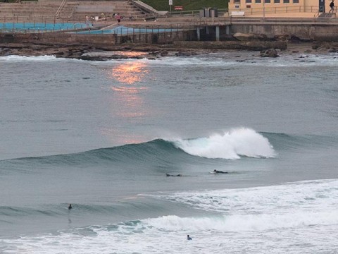
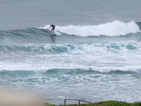
Surface conditions were smooth and glassy along the beaches a little before 0700. We had a knee to waist high wind swell rolling in from the south, so magnet spots could deliver the odd chest-ish wave face – if you’re in the spot.
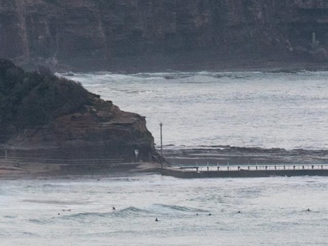
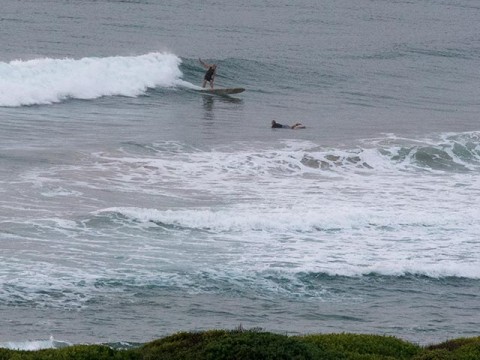
One or two having a go at far north Collaroy’s knee high things, while up the beach at Northy it looked to be a touch bigger for the modest crew in for the early. Around at the Dee Why to Long Reef stretch, the best opportunities were running around the waist high mark on the stretch from No Mans to the Pole. Nothing going on at the point. And waves look pretty weak.
Wind’s supposed to have been SE, but I’m wondering it it’ll get up to much until later this afternoon when we should see a NE sea breeze in the 10-15 kt range. Bureau says wave wise what we have ought to stick around.
Looking ahead to next week, although there is all kinds of activity showing up in the Coral Sea region and the southern ocean, it seems as though our shields are up. There could be a very slight improvement over this morning for tomorrow’s early. But it’s not looking like being much above waist high at best. Some models are showing a very brief long period north pulse in the middle of the night tomorrow and then on Monday we could go into a southerly pattern for the morning ahead of a late afternoon swing to the east.
Best shot for the week could be Tuesday morning, when we might get some solid east swell along with light winds and mainly sunny skies. There seems to be some hope of it persisting into Wednesday morning, but the Bureau is saying we could also have 20kts of north wind with it.
Tides: L @0940 H @1540
Have a great Saturday!
Weather Situation
A high pressure system is moving over the southwestern Tasman Sea strengthening a ridge to the New South Wales north coast. As the high moves to the east and the ridge weakens a cold front will bring a southerly change to the far south coast early Sunday, extending to the far north coast by the evening. Behind the front another high is expected to move over the Tasman Sea on Monday.
Forecast for Saturday until midnight
- Winds
- Southeasterly 10 to 15 knots becoming variable about 10 knots in the middle of the day then becoming northeasterly 10 to 15 knots in the evening.
- Seas
- 1 to 1.5 metres, decreasing below 1 metre during the morning.
- Swell
- Southeasterly around 1 metre, increasing to 1 to 1.5 metres during the morning.
- Weather
- Mostly sunny.
Sunday 15 March
Strong Wind Warning for Sunday for Sydney Coast
- Winds
- Northerly 10 to 15 knots, shifting southerly 20 to 30 knots in the morning.
- Seas
- Around 1 metre, increasing to 2 to 3 metres during the morning.
- Swell
- East to southeasterly around 1 metre.
- Weather
- Partly cloudy. 60% chance of showers. The chance of a thunderstorm in the morning and afternoon.
Monday 16 March
- Winds
- South to southeasterly 15 to 25 knots tending east to southeasterly below 10 knots during the evening.
- Seas
- 1.5 to 2.5 metres, decreasing to 1 to 1.5 metres during the evening.
- Swell
- East to southeasterly 1 to 1.5 metres, tending southerly 1.5 to 2 metres during the morning.
- Weather
- Cloudy.

