Hello Friends,
Swell’s dropped significantly from yesterday, but exposed spots were still showing head high plus wave faces on the bigger ones. Surface conditions were comparatively smooth and less lumpy than yesterday – but it’s still pretty raw looking.
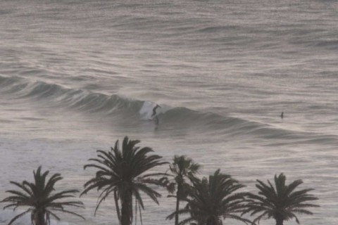
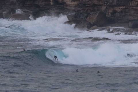
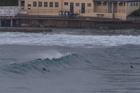
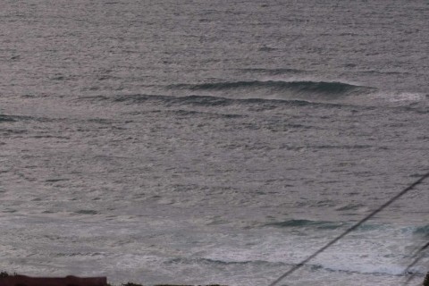
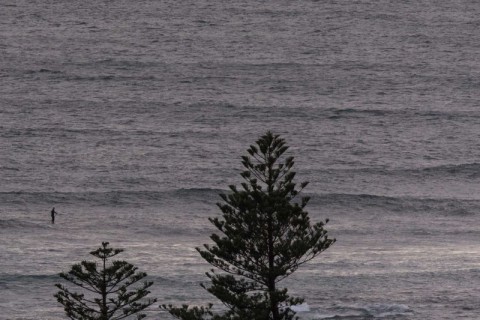
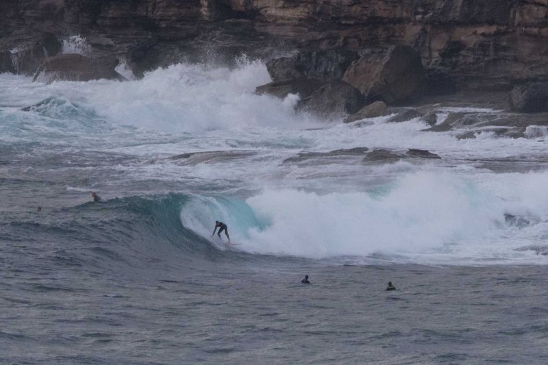
Dee Why point was the best of the bunch when I looked. There were waves at south Narrabeen (see pic) but the conditions looked fragile and it was its usual self (ie, very quick little rides). Nothing much was going on at the Collaroy end, but there did seem to be lines getting into White Rock. Longy is just too exposed in these conditions, so even without the wind, it wasn’t looking terribly interesting. The same applied to the beachies from there to Dee Why.
The problem is that while the wind was light before 0700, the Bureau is predicting it’ll ramp back up again this morning and be SE 15-20 kts by lunch. Tide was high at 0630 and will be back to low at 1220, so if you’re getting in, you better get in.
Outlook is for southerly wind in the 15-20 kt range again tomorrow. Swell should maintain at about the current levels. Monday the wind should slack off, but so will the swell. However, it shouldn’t go flat, so here’s hoping for a few fun ones…
Finally, if you’re thinking of getting in this morning, be aware that pollution is likely at most beaches in Sydney.
Go well with your Saturday one and all!
Forecast for Saturday until midnight
Winds
Southeasterly 15 to 20 knots tending southerly in the middle of the day.
Seas
1.5 metres, decreasing to 1 metre during the morning, then increasing to 1 to 1.5 metres during the afternoon.
Swell
Southeasterly 2 to 2.5 metres.
Weather
Cloudy. 50% chance of showers.
Sunday 27 September
Winds
Southerly 15 to 25 knots.
Seas
1.5 metres, increasing to 1.5 to 2 metres during the morning.
Swell
Southeasterly 2 to 2.5 metres.
Weather
Partly cloudy. 60% chance of showers.