Hello Friends,
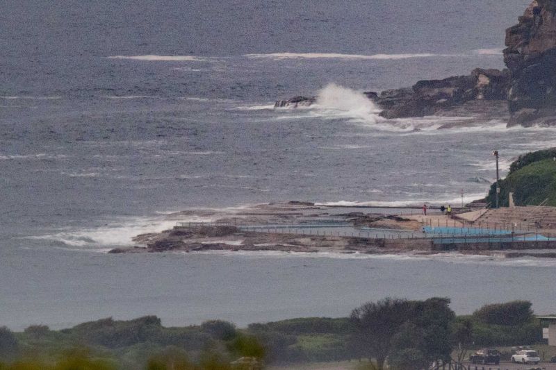
As of 0645 there was no obvious sign of the long predicted swell. Wind was light under mostly high overcast skies. Tide was heading to the high at 0750. Out at sea, the MHL buoy was showing 1.3 metres of 12-second SSE swell at 0400. The directional spectrum chart was also showing some very small but 11-12 sec NE component. Looking at the equivalent chart from Byron Bay shows lower energy intensity from the NE and very little out of the SE. Bet it’s even closer to flat up there this morning than here in Sydney.
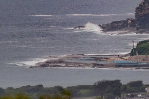
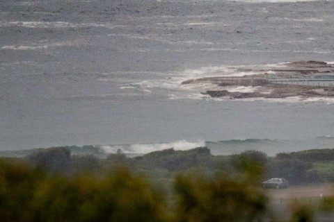
Dee Why, as the pictures show, was too tiny to have attracted any surfers. The point was out of the question, but you could probably scud along with a surf mat up the beach from there.
For over a week the swell prediction models have been telling us we should be seeing something today and the Bureau says surf conditions will be ‘deceptively powerful’. The Bureau’s own modelling wind is expected to go south tomorrow.
And the week ahead? Well, The Goat reveals all…
Have a great Friday and yes, I’ll keep an eye on things, so if there’s any sign of swell, I’ll let ya know!
Weather Situation
A high pressure system near New Zealand extends a ridge towards the Queensland coast, while a broad low pressure trough stretches from central Australia to inland New South Wales. This pattern is directing generally northerly winds along most coastal waters, although a weak trough and southerly change is affecting southern parts of the coast today. A more robust southerly change is expect to follow on Saturday, progressing through to the northern border during Sunday as a new high in the Bight pushes a ridge along the coast.
Forecast for Friday until midnight
Winds
East to northeasterly 10 to 15 knots, reaching 20 knots offshore in the evening.
Seas
Around 1 metre.
Swell
East to northeasterly 1 to 1.5 metres.
Weather
Cloudy. 80% chance of showers. The chance of a thunderstorm.
Saturday 23 January
Winds
North to northwesterly 15 to 20 knots shifting southerly in the morning.
Seas
1 to 1.5 metres.
1st Swell
Northeasterly 1.5 metres.
2nd Swell
East to southeasterly around 1 metre.
Weather
Partly cloudy. 70% chance of showers. The chance of a thunderstorm.
Caution
Deceptively powerful surf conditions are expected to be hazardous for coastal activities such as crossing bars by boat and rock fishing.
Sunday 24 January
Winds
Southerly 15 to 20 knots turning southeasterly 10 to 15 knots during the evening.
Seas
1.5 metres, decreasing to 1 metre during the afternoon.
1st Swell
Southeasterly 1 to 1.5 metres, tending southerly around 1 metre during the morning.
2nd Swell
Easterly 1 to 1.5 metres.
Weather
Partly cloudy. 30% chance of a shower.


