Hello Friends,
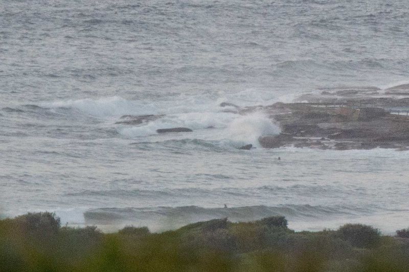
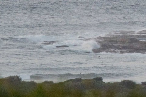
Swell’s coming from the SSE and ESE this morning and while the MHL buoy was showing some 12-second energy and swell heights at sea into the 1.6 metre range, Dee Why didn’t get the memo. There were a few hopefuls hanging out in the shories out in front of the club but it looked pretty marginal to me at 0700. Wave faces were in the knee to waist range and energy levels weren’t too impressive. Take the longest board in your quiver I’d say.
Tide’s dropping to the low at 1040 and wind was out of the north at about 10 kts. The mid-level cloud offshore was moving southward at a noticeable rate when I checked, which lines up well with the Bureau’s call for NE wind of 20-25 kts this morning.
As always I look forward to the Goat’s thoughts on the outlook later today. From my reading of the models we’re in for a week of mostly small conditions.
Have yourself a great Thursday!
Weather Situation
A slow-moving high pressure system over the southeastern Tasman Sea extends a ridge to the northern coast of New South Wales. This pattern will direct predominantly east to northeasterly winds across New South Wales waters for the next few days, apart from a couple of brief weak southerly changes along the south coast as two cold fronts slip to the south of the state.
Forecast for Thursday until midnight
Winds
Northerly 15 to 20 knots turning northeasterly 20 to 25 knots early in the morning.
Seas
1.5 to 2 metres.
Swell
Easterly around 1 metre.
Weather
Mostly sunny.
Friday 4 March
Winds
Northeasterly 15 to 20 knots.
Seas
1 to 2 metres, decreasing to 1 metre during the morning, then increasing to 1 to 1.5 metres around midday.
Swell
Easterly around 1 metre.
Weather
Partly cloudy.
Saturday 5 March
Winds
Northeasterly 15 to 20 knots.
Seas
1 to 1.5 metres.
Swell
Easterly 1 to 1.5 metres.
Weather
Sunny.


