

Hello Friends,
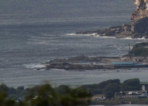
Not a great looking start surfwise. It’s not totally flat, but it’s very close to it. I’d call it ankle to maybe knee. The MHL buoy data from 0600 was showing only a metre of 7-sec SSE bump. Wind was coming from the SSW at 10-15 kts as I tapped out these words but the Bureau says it should settle more to the south and pick up into 15-25 kt range. The next tide is a 1.8 m high at 1100, so, on top of the other ho-hum settings, it’s also fat.
The good news is that this could be the low point in swell energy for the next week. That said, it doesn’t look like building a tremendous amount swell-wise. Some of the models are showing close to two metres by Wednesday, but the predicted period is only around the 7-8 second mark. Oh, and the wind predictions are saying we can expect 20 or so kts of SE at the same time.
Shaping to be a quiet and ho-hum surf week I’d say, but that’s okay, we’re moving ever closer to the next magic day!
BTW, Surfrider Foundation and other groups are getting together for a big beach clean in Manly at 1pm today. Meet up at Manly Cove near the Sea Life Aquarium.
Weather Situation
A weak high pressure ridge lies off the New South Wales coast, directing generally north to northeasterly winds over the north coast today. Meanwhile, a trough associated with a Southern Ocean cold front will bring a southerly change to southern and central parts of coast during Sunday, before stalling in the vicinity of Seal Rocks. A high pressure system to the west of Tasmania will then strengthen later Monday and Tuesday as it edges slowly east, extending a ridge northwards and pushing the trough north of the Queensland border. The high and its ridge is expected to remain slow-moving during the second half of the week, with fresh southeasterly winds dominating along the New South Wales coast.
Forecast for Sunday until midnight
- Winds
- Northeasterly 10 to 15 knots tending northerly 15 to 20 knots before dawn ahead of a southerly 15 to 25 knots in the morning. Winds decreasing to 10 to 20 knots in the evening.
- Seas
- Around 1 metre, increasing to 1 to 2 metres around midday.
- 1st Swell
- South to southeasterly around 1 metre.
- 2nd Swell
- Northeasterly around 1 metre.
- Weather
- Cloudy. 60% chance of showers.
Monday 5 March
- Winds
- Southerly 15 to 25 knots.
- Seas
- 1 to 2 metres.
- 1st Swell
- Southerly around 1 metre.
- 2nd Swell
- East to northeasterly around 1 metre.
- Weather
- Cloudy. 80% chance of showers. The chance of a thunderstorm.
Tuesday 6 March
- Winds
- South to southeasterly 15 to 25 knots.
- Seas
- 1.5 to 2.5 metres.
- 1st Swell
- Southerly around 1 metre, increasing to 1 to 1.5 metres during the morning.
- 2nd Swell
- Easterly 1 to 1.5 metres.
- Weather
- Partly cloudy. 80% chance of showers.


