

Hello Friends,
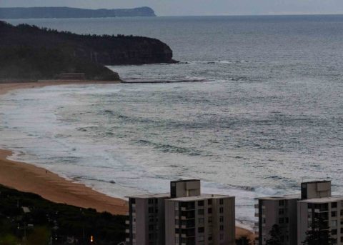
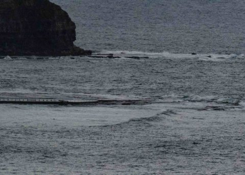
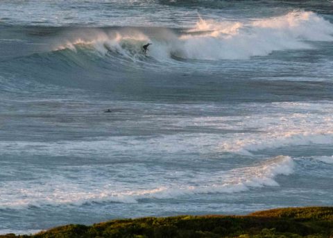
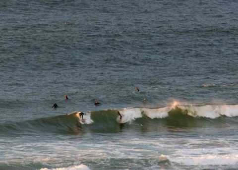
You have to pick your spot this morning because the 2 metre 10-sec SSE swell isn’t lighting up every spot. Plus, the light easterly wind is ruffling up the surface. Tide is dropping to a moderate 0.7 m low at 1015 and that means it’ll be getting crunchy in the beachy. Figure wave faces in the waist to chest plus range with the occasional head high bomb.
Outlook is for the wind to continue onshore, but not to get going too hard. Maybe not the highest quality, but, hey there are waves to be had if you aren’t too fussy.
Outlook is for the energy levels to gradually weaken over the next 24 hours, but that said, there are at least a couple of models holding out hope for a little bump out of the east tomorrow am. Right now the front half of the week is shaping to be marginal, but there does appear to be some prospect of rideable stuff Weds-Thrs.
Have a great Saturday one and all!
Weather Situation
A high pressure system over the southwestern Tasman Sea with a ridge to the north is directing southeast to northeasterly winds along the New South Wales coast. The high is very slowly moving and weakening and a low pressure trough will bring a southerly change along the southern half of the coast during Sunday night.
Forecast for Saturday until midnight
- Winds
- East to southeasterly 10 to 15 knots.
- Seas
- Below 1 metre.
- Swell
- East to southeasterly 1 to 1.5 metres.
- Weather
- Partly cloudy.
Sunday 11 March
- Winds
- Variable about 10 knots becoming northeasterly 10 to 15 knots in the early afternoon then decreasing to about 10 knots in the evening.
- Seas
- Below 1 metre.
- Swell
- Easterly 1 to 1.5 metres, decreasing to around 1 metre around midday.
- Weather
- Partly cloudy.
Monday 12 March
- Winds
- North to northeasterly about 10 knots becoming south to southwesterly during the morning then tending southeasterly 10 to 15 knots during the afternoon.
- Seas
- Below 1 metre, increasing to around 1 metre during the evening.
- Swell
- Easterly around 1 metre.
- Weather
- Partly cloudy.


