Hello Friends,
Early risers encountered almost no wind this morning. Unfortunately, the tiny gutless east wind swell is looking awfully feeble. About the best you can hope for is a gentle takeoff on a waist plus lump that will subsequently end a few seconds later as you slow down and sink out as it turns into low energy froth.
The wind will pick up soon as it builds into the 20-25 kt range from the Northerly quarters ahead of a strong southwest change this evening. You have a hot (33C) day coming up too.
The MHL buoy was seeing less than a metre of 7-sec easterly wind chop at 0400. The south change overnight doesn’t promise any improvement in surf prospects, although tomorrow will be much cooler – so there is that.
Tide is high just before noon today.
Outlook is pretty ordinary if the swell models are to be believed. There seems to be some hope for an easterly pulse midweek, but right now it doesn’t look like being a big one, plus there could be south wind with it…
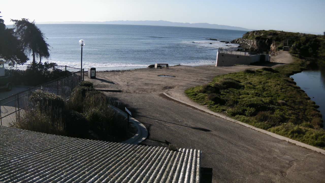
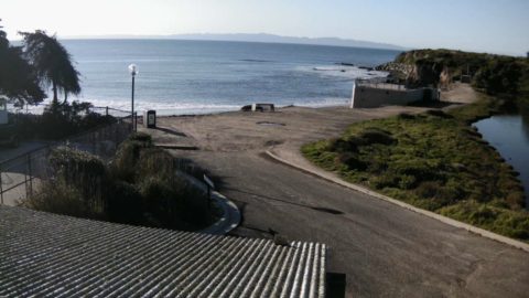
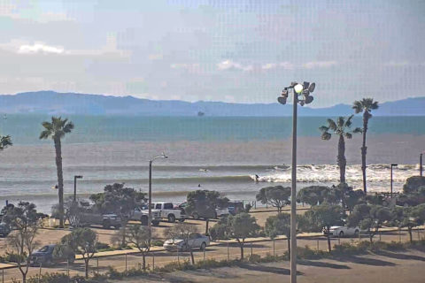
California continues to bump along at the very small end of the surfability range. Locally here in Santa Barbara there’s nothing, but if you go south to Ventura, there look to be some longboardable lines at C-Street. Sadly, the water down there is probably quite unsafe due to the rains of a few days ago. And, more rain is due from late today…
Herewith a couple of postcards:
Weather Situation
A high pressure system to the east of New Zealand is moving slowly east and will maintain a ridge to the north coast today, while a cold front approaches from the southwest. This front will bring a vigorous south to southwesterly change to southern and central waters later today, and to northern waters Sunday morning. A high pressure system will slowly track east from the Bight in the wake of the front, reaching the western Tasman late Sunday with an associated an easing of winds over New South Wales waters.
Forecast for Saturday until midnight
Gale Warning for Saturday for Sydney Coast
- Winds
- Northwest to northeasterly 15 to 20 knots tending south to southwesterly 25 to 35 knots in the late evening.
- Seas
- 1 to 1.5 metres, decreasing to 1 metre around midday.
- Swell
- Northeasterly 1 to 1.5 metres.
- Weather
- Partly cloudy. 50% chance of showers. The chance of a thunderstorm.
Sunday 10 February
Strong Wind Warning for Sunday for Sydney Coast
- Winds
- South to southwesterly 20 to 30 knots, decreasing to 15 to 25 knots during the morning. Winds tending south to southeasterly 10 to 15 knots in the late afternoon and evening.
- Seas
- 2 to 3 metres, decreasing to 1 to 1.5 metres during the morning, then decreasing below 1 metre by early evening.
- 1st Swell
- Southerly 1 to 1.5 metres, increasing to 2 to 2.5 metres during the morning.
- 2nd Swell
- East to northeasterly 1 to 1.5 metres.
- Weather
- Partly cloudy.
Monday 11 February
- Winds
- Variable about 10 knots becoming northeasterly 15 to 25 knots during the morning.
- Seas
- Below 1 metre, increasing to 1 to 2 metres during the afternoon.
- Swell
- Southerly 1 to 1.5 metres, decreasing to around 1 metre during the morning.
- Weather
- Mostly sunny.


