
Hello Friends,
Onshore and just about flat along the beaches this morning.
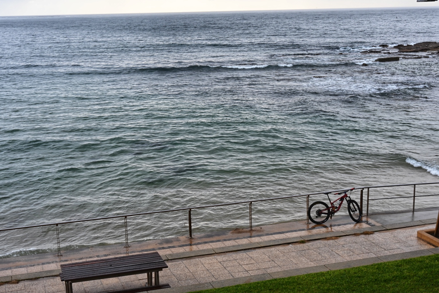
As of 0730, the wind was ENE 7-12 kts at North Head. Swell at sea was a shade under the metre mark at about 9 seconds from 159°. Tide was coming into the 0800 1.77 m high and showers were falling here and there. The drippy weather should continue across the day as we head to a high of 27C. Water temp’s still a balmy 24C.
Check back later for the mighty Goat’s words of surf wisdom on our prospects for an improvement to waveriding prospects.
Weather Situation
A high pressure system over the Tasman Sea will push northerly winds along the New South Wales coast Thursday. The next trough is forecast to arrive on the weekend, bringing a strong and gusty southerly change to the southern half Saturday and then weaken as it continues north on Sunday.
Forecast for Thursday until midnight
Winds
Northeasterly 15 to 20 knots increasing to 20 to 25 knots in the evening.
Seas
Around 1 metre, increasing to 1.5 to 2 metres in the afternoon.
Swell
Southerly around 1 metre.
Weather
Partly cloudy. 80% chance of showers.
Friday 12 March
Strong Wind Warning for Friday for Sydney Coast
Winds
North to northeasterly 15 to 25 knots, increasing to 30 knots offshore.
Seas
1 to 2 metres, increasing to 2 to 3 metres offshore.
Swell
Northeasterly 1 to 1.5 metres developing in the afternoon and evening.
Weather
Cloudy. 95% chance of showers. The chance of a thunderstorm.
Saturday 13 March
Winds
Northerly 15 to 20 knots increasing to 20 to 30 knots during the day.
Seas
1.5 to 2.5 metres.
Swell
Northeasterly 1 to 1.5 metres, decreasing to around 1 metre during the evening.
Weather
Partly cloudy. The chance of a thunderstorm.


