Hello Friends,
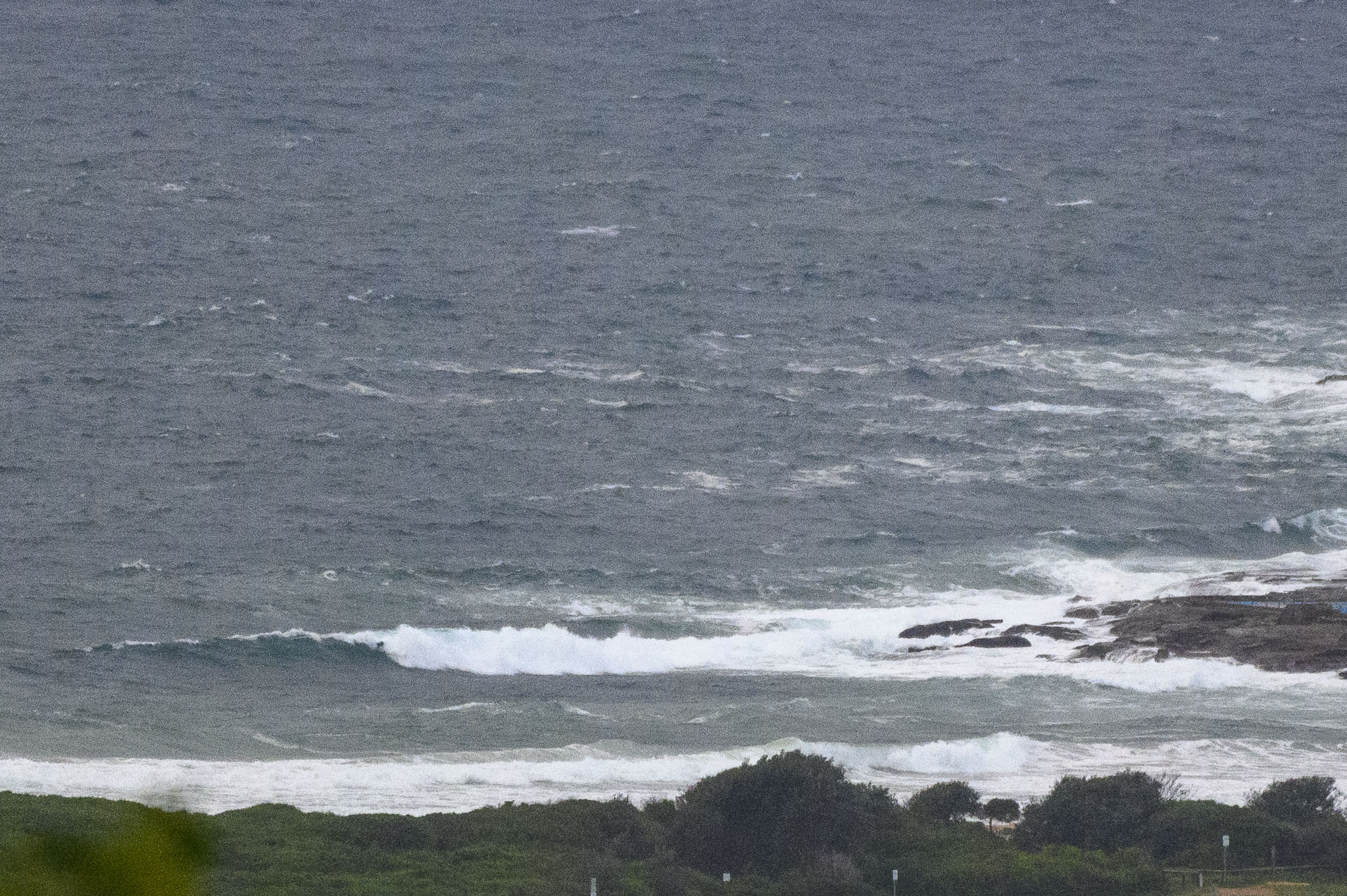
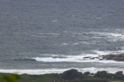
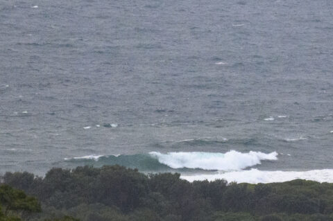
ESE 11-16 kts. 35 to 50mm of rain coming our way. 2.3 metres of 8-second ESE swell. The pictures tell the story. It’s a day only for the desperate and fit.
And for the outlook, may I point you to the latest words of surf wisdom from the mighty Goat.
Also, a bit of a head’s up that I’m getting close to giving RealSurf a new look. If all goes well, it should be in place by next week.
Have a great Friday one and all!
Weather Situation
A high pressure system over the southern Tasman Sea is extending a ridge along the east coast. The high will remain slow moving over the southern Tasman Sea through to the weekend or early next week. A trough has developed near the coast, with a low forecast to develop within it and slowly move down the coast into the weekend.
Forecast for Friday until midnight
Strong Wind Warning for Friday for Sydney Coast
Winds
Easterly 20 to 25 knots turning southeasterly in the late afternoon. Winds reaching up to 30 knots in the evening.
Seas
1.5 to 2.5 metres.
Swell
Easterly 2.5 to 3 metres.
Weather
Cloudy. 95% chance of rain. Rain and showers heavy at times during this afternoon and evening. The chance of a thunderstorm.
Saturday 20 March
Strong Wind Warning for Saturday for Sydney Coast
Winds
Southeasterly 20 to 25 knots turning easterly early in the morning. Winds reaching up to 30 knots during the day.
Seas
2 to 3 metres.
Swell
Easterly 3 metres, increasing to 3 to 4 metres during the morning, then decreasing to 3 metres during the afternoon.
Weather
Cloudy. 95% chance of rain. Rain and showers heavy at times. The chance of a thunderstorm.
Sunday 21 March
Winds
Easterly 20 to 30 knots decreasing to 15 to 25 knots during the afternoon.
Seas
2 to 3 metres, decreasing to 2 metres during the morning.
Swell
Easterly 2.5 to 3 metres.
Weather
Cloudy. 80% chance of showers.


