Hello Friends,
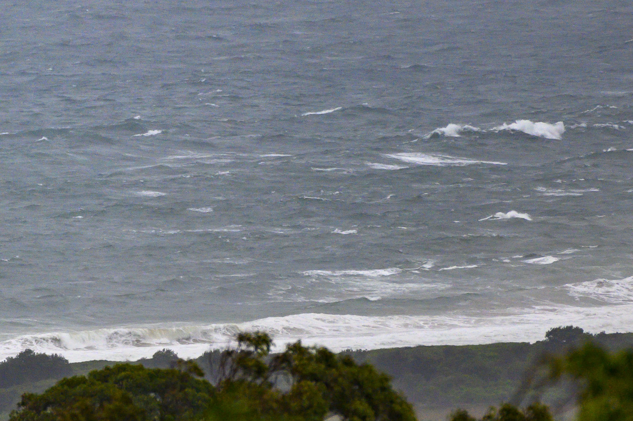
20-35 kts of east wind driving the rain more or less horizontally across the wheelhouse windows at RealSurf HQ this morning. Looks like the swell is around 3 metres at 9 seconds out of the east. Nowhere along the coast will be out of this wind, although there might be a little wave at Nielsen Park. Mind you, with all the rain, the Harbour is going to be even more dodgy water-wise than the beaches – which are all showing as “Pollution Likely” on the Beachwatch map.
Prospects for a surf remain dim for another couple of days, but maybe Wednesday…
Stay safe everyone!
Weather Situation
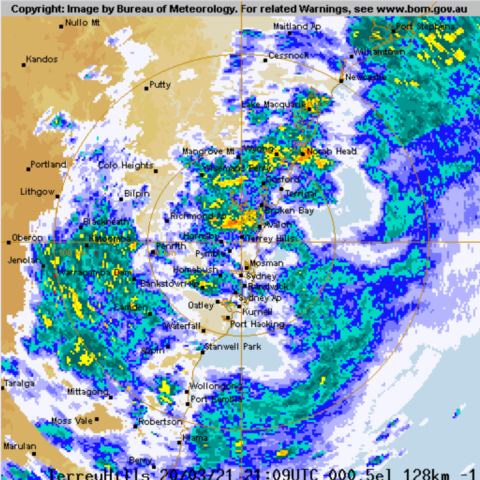
A strong high pressure system over the southern Tasman Sea is expected to remain almost stationary for the next few days, bringing east to northeasterly flow across New South Wales coastal waters. A trough currently lies near the coast triggering heavy rainfall across the weekend. This pattern is expected to remain relatively unchanged until the next trough crosses the region mid-week.
Forecast for Sunday until midnight
Strong Wind Warning for Sunday for Sydney Coast
Winds
Easterly 20 to 30 knots.
Seas
2 to 3 metres.
Swell
Easterly 3 metres.
Weather
Cloudy. 90% chance of rain.
Caution
Large and powerful surf conditions are expected to be hazardous for coastal activities such as crossing bars by boat and rock fishing.
Monday 22 March
Strong Wind Warning for Monday for Sydney Coast
Winds
Easterly 20 to 30 knots tending northeasterly before dawn.
Seas
2 to 2.5 metres.
Swell
Easterly 2 to 2.5 metres.
Weather
Cloudy. 90% chance of showers.
Tuesday 23 March
Winds
Northeasterly 20 to 30 knots turning northerly 25 to 35 knots during the afternoon.
Seas
2 to 3 metres.
Swell
Northeasterly 2 to 3 metres during the afternoon.
Weather
Cloudy. 90% chance of showers.


