Hello Friends,
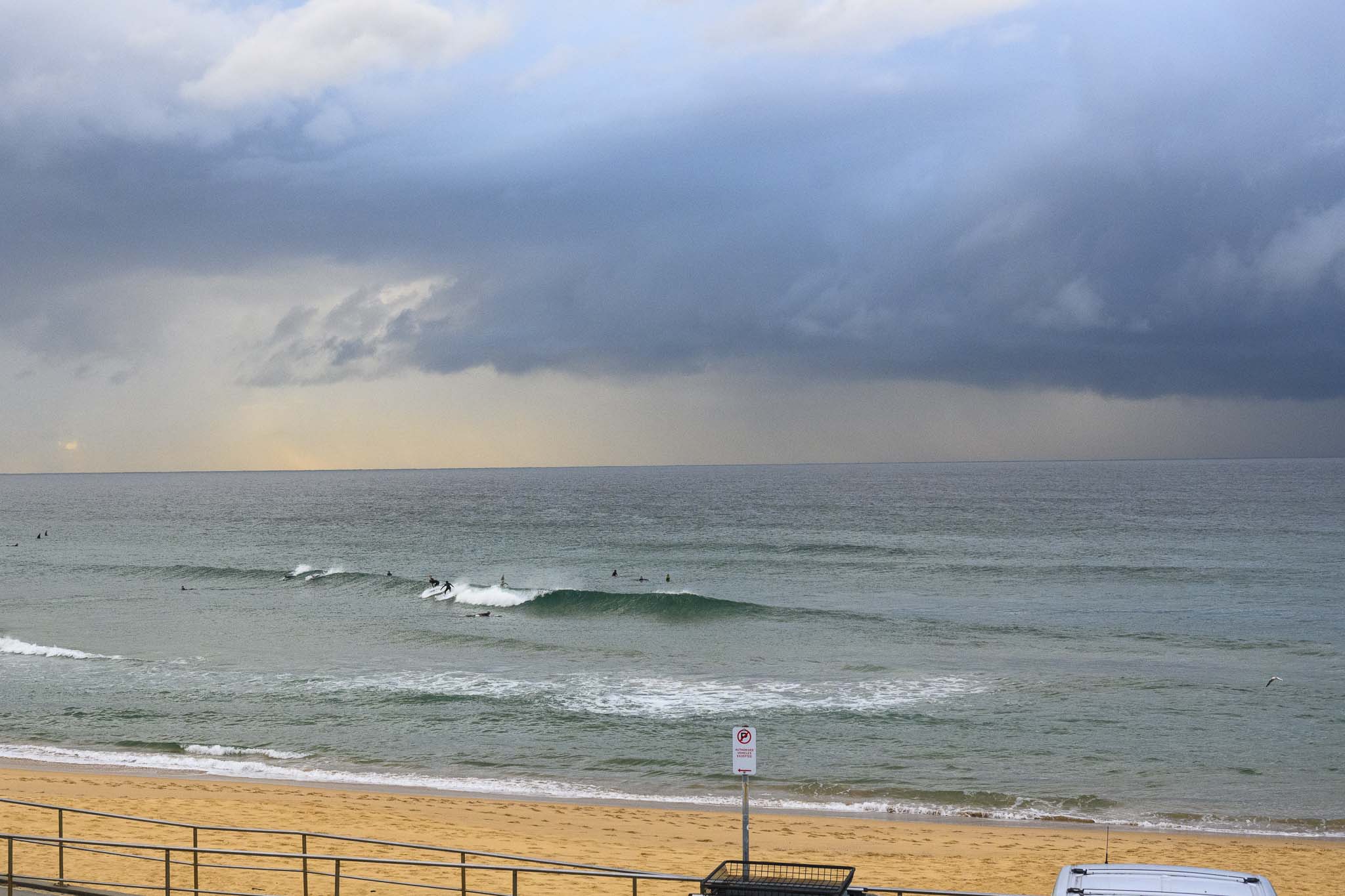
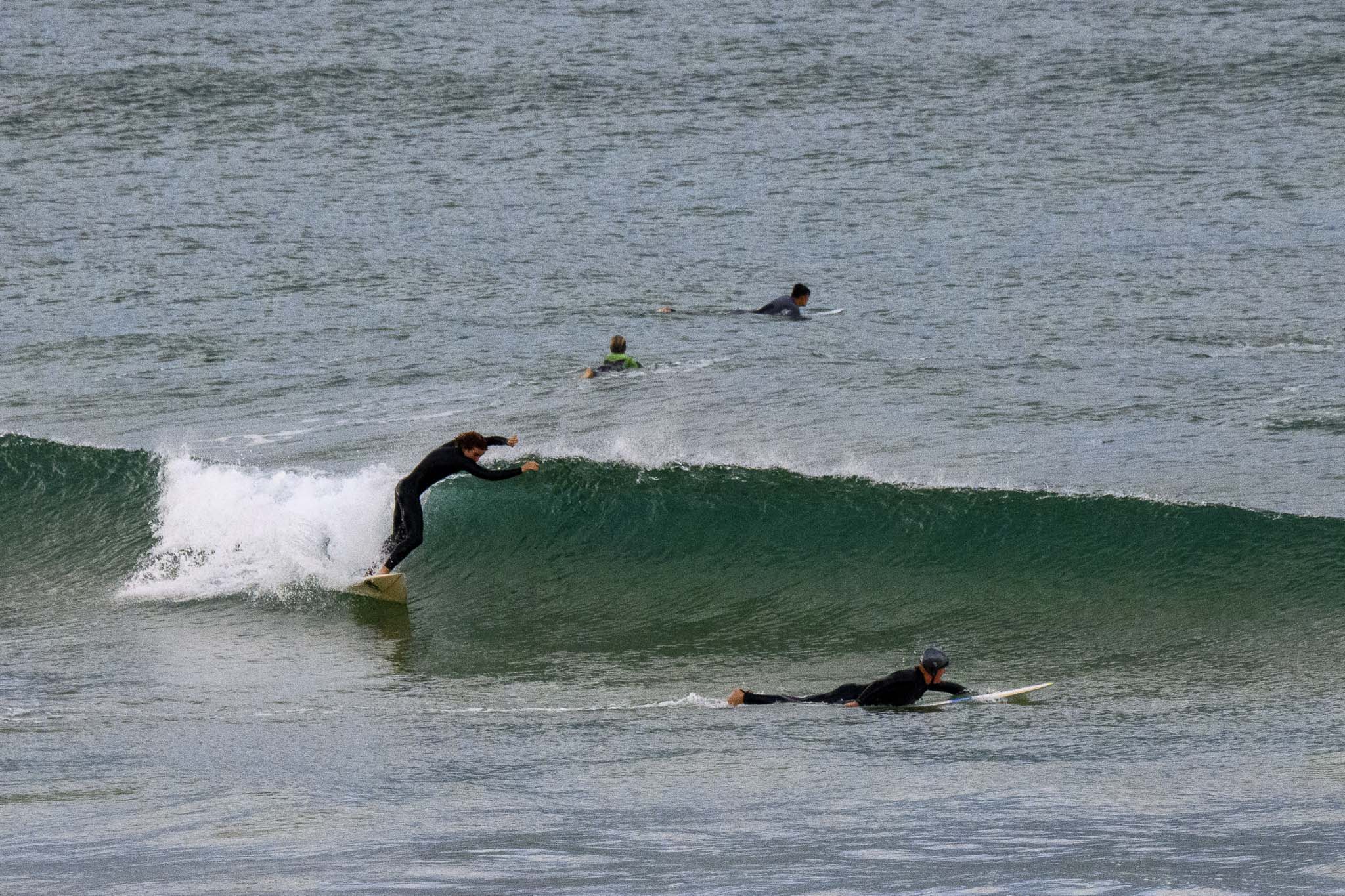
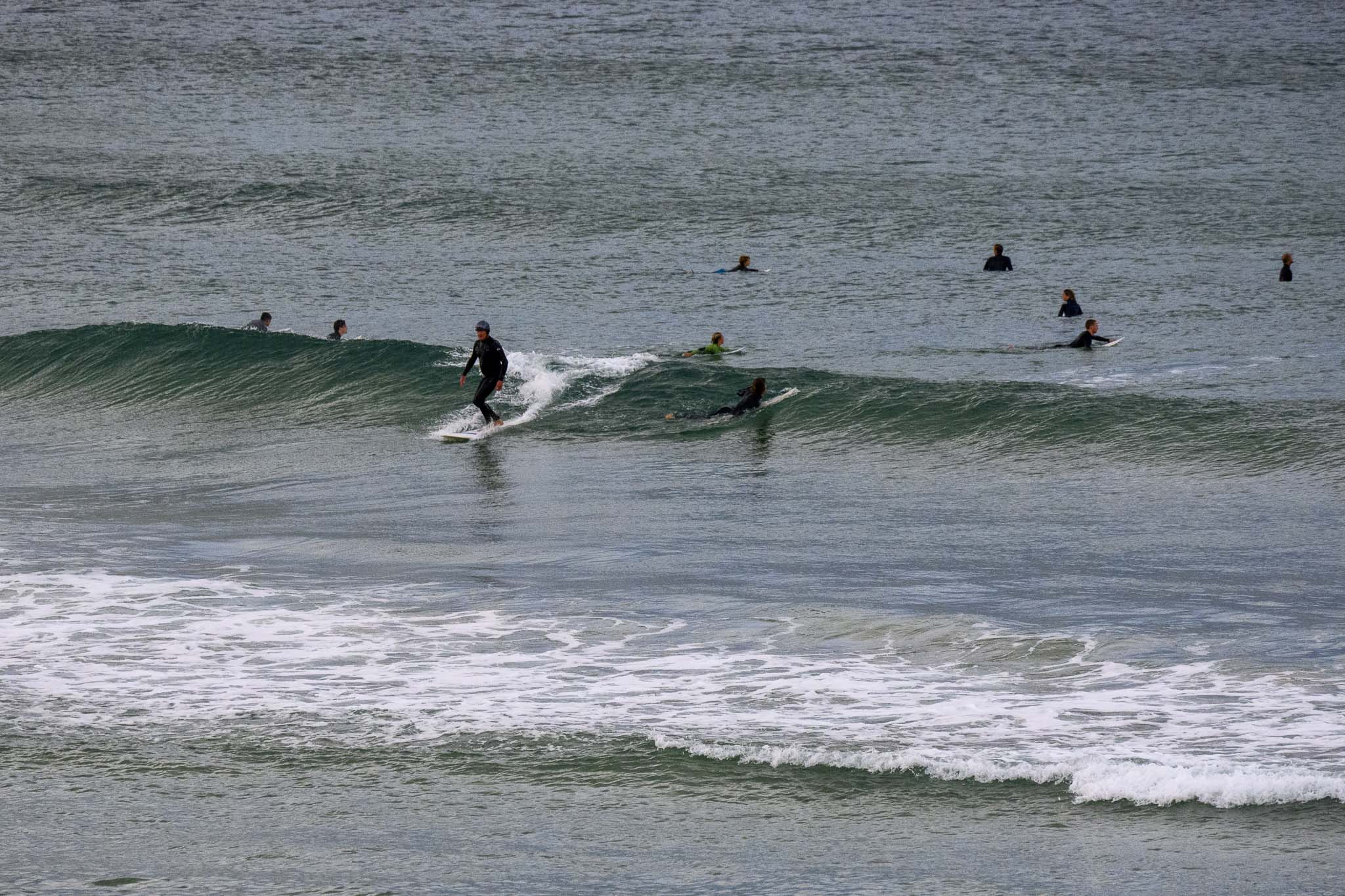
You could get a soft little wave at the best exposures (eg south Curly where the pictures come from) this morning, but I reckon most of us will take a rest day. I’m heading into town to support the young folk demanding urgent action on climate change – the greatest threat ever to face our home planet. You can find lots more on the #climatestrike here.
Here’s a reason why I support the kids striking. This is our home today, not off in some distant future.

When will we get our next pulse you ask? Well, jump down the home page to the Goat’s freshly baked forecast!
Weather Situation
A fresh southerly change will continue to extend throughout most coastal waters during this morning. A trough associated with the southerly change will linger off the northern coast over the weekend, while a high pressure system moves in across the south today. The high will head southeast towards the southern Tasman Sea over the coming days, with the next cold front set to cross the state mid next week.
Forecast for Friday until midnight
- Winds
- Southerly 15 to 20 knots.
- Seas
- 1 to 2 metres.
- Swell
- Southerly 1 to 1.5 metres.
- Weather
- Partly cloudy. 50% chance of showers. The chance of a thunderstorm offshore this morning.
Saturday 22 May
- Winds
- Southerly 10 to 15 knots tending southeasterly around 10 knots during the afternoon.
- Seas
- Around 1 metre.
- Swell
- Southerly around 1 metre.
- Weather
- Partly cloudy.
Sunday 23 May
- Winds
- South to southwesterly 10 to 15 knots turning east to southeasterly around 10 knots during the morning.
- Seas
- Below 1 metre.
- Swell
- Southerly around 1 metre.
- Weather
- Partly cloudy. 70% chance of showers.


