Hello Friends,
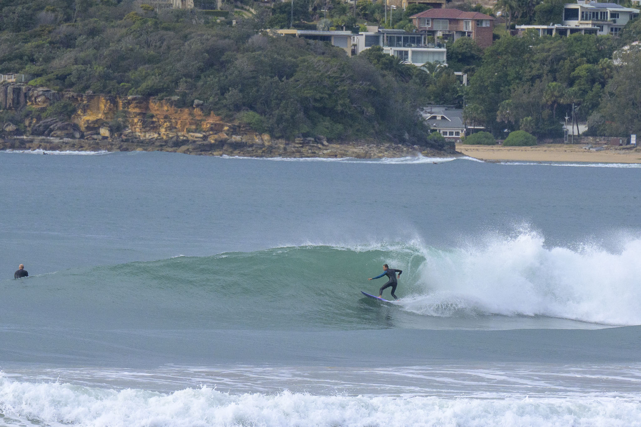
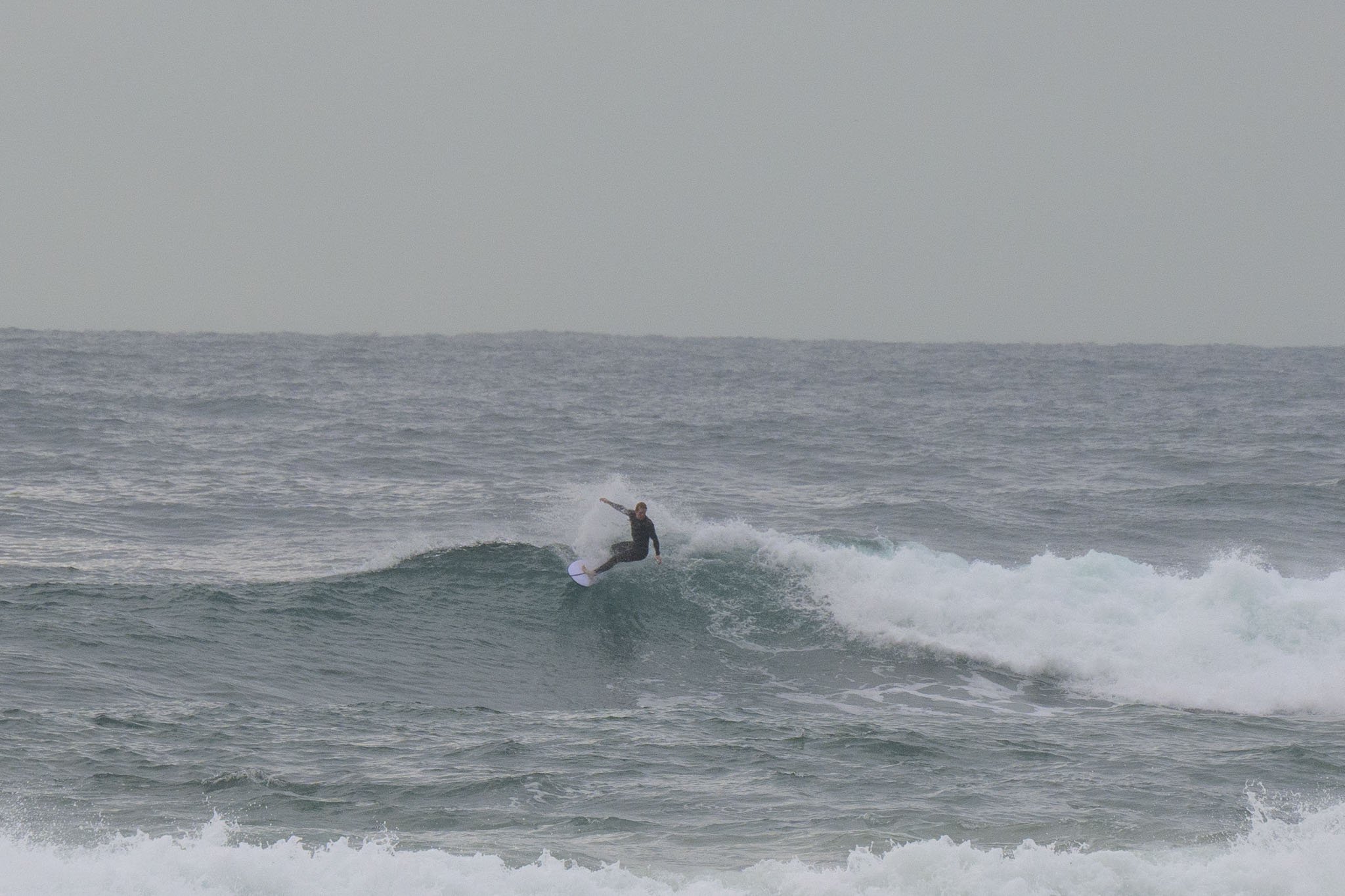
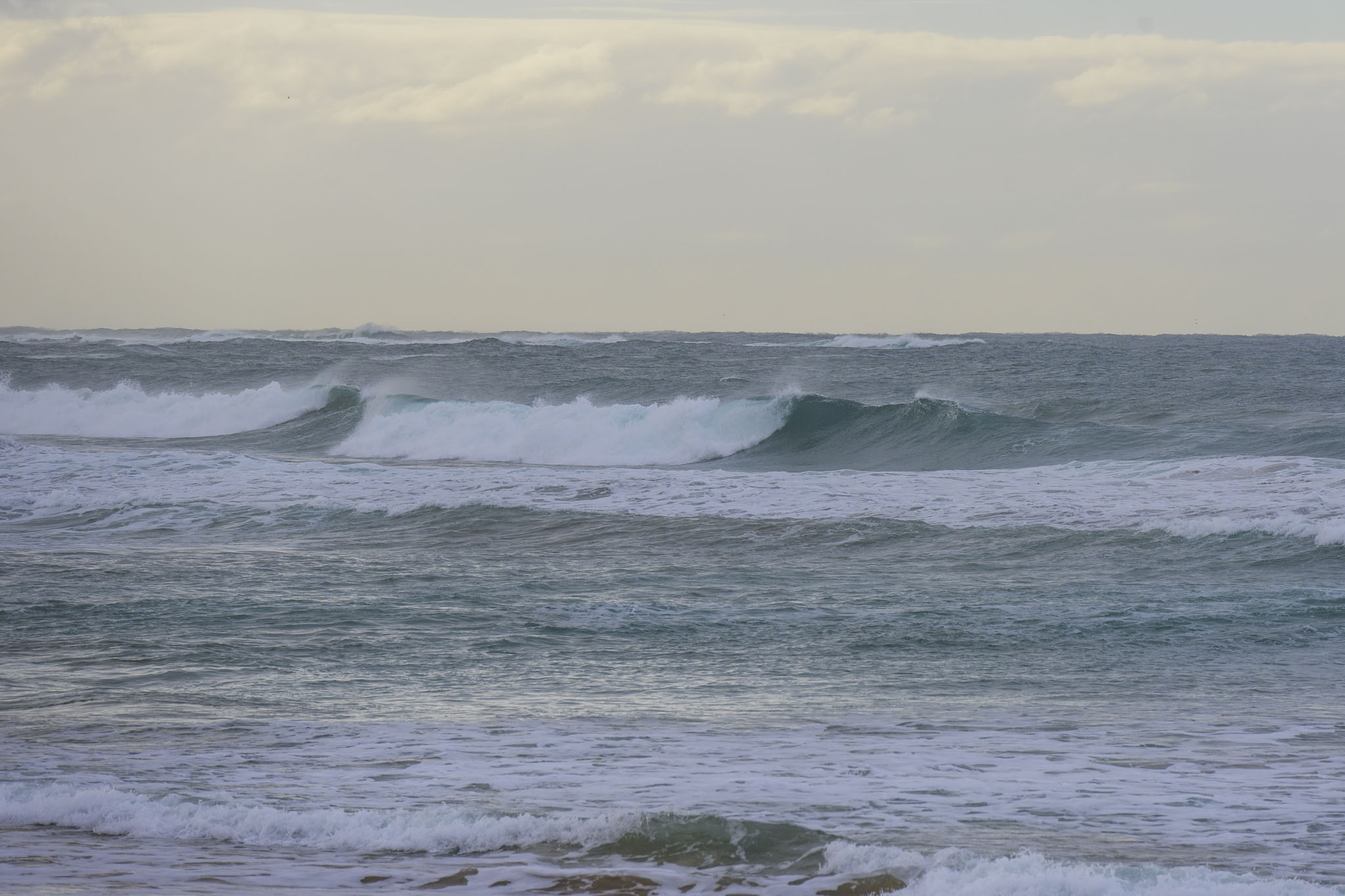
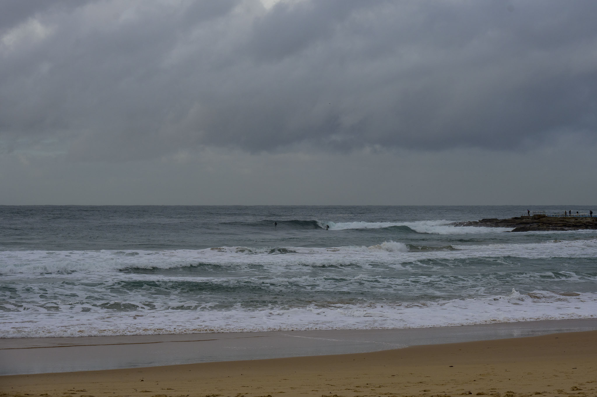
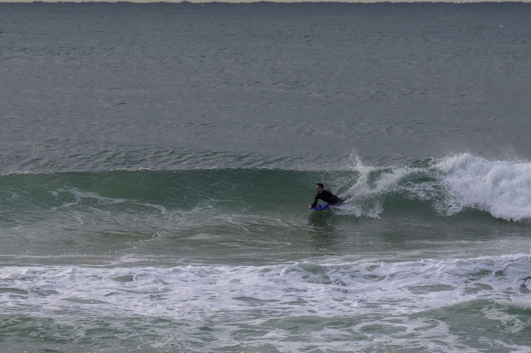
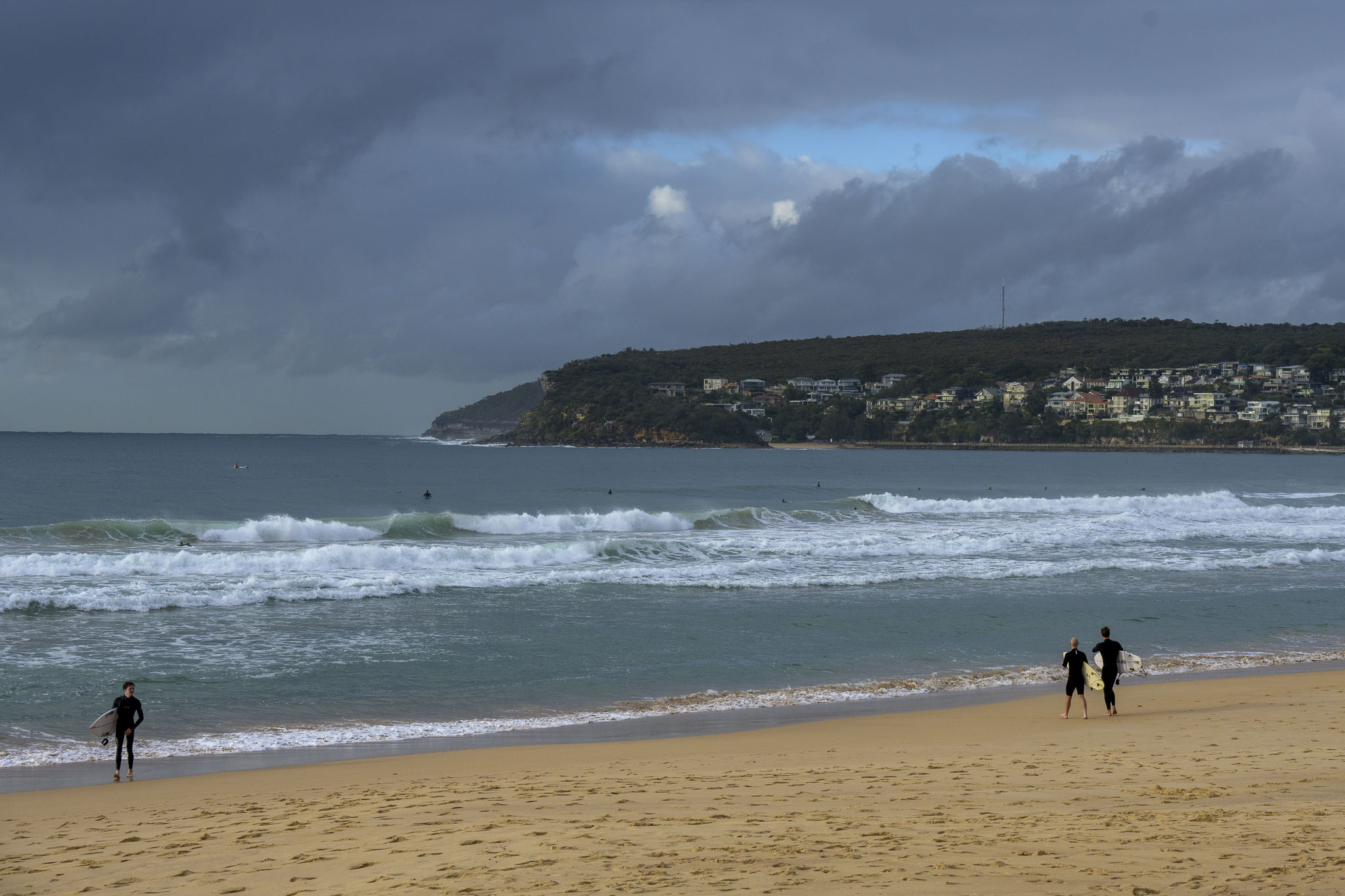
Still some shoulder high plus swell around this chilly morning, but it’s looking a little scrappy and disorganised. Wind was SW early (but set to go more south and pick up later) and swell at sea was 2.3 m at 10 seconds from 142° (SE). Tide was dropping to the lowish 0.44 m low at 1045. Tidal swings are getting bigger, so today’s high at 1720 will be 1.78 m and later in the week the highs will be 2 metres. Weatherwise, we can expect a few showers along the coast and a high of 18C. Swell intensity is gradually fading but with luck it should be in the surfable range until Wednesday arvo-ish.
Weather Situation
A high pressure system with its centre near Bass Strait is moving into the Tasman Sea, while extending a ridge to the north and maintaining onshore southeasterly airstream along the coast. Winds should gradually turn northerly by mid week as the high moves further east and the new low pressure system approaches southeast of the continent, with its associated troughs crossing the state during the latter part of the week.
Forecast for Monday until midnight
- Winds
- Southerly 15 to 20 knots tending southeasterly 10 to 15 knots in the afternoon.
- Seas
- 1 to 1.5 metres.
- Swell
- Southeasterly 2 to 2.5 metres.
- Weather
- Partly cloudy. 50% chance of showers.
Tuesday 22 June
- Winds
- Southeasterly 10 to 15 knots tending easterly in the afternoon, becoming northeasterly in the evening.
- Seas
- Below 1 metre.
- Swell
- Southeasterly 1.5 to 2 metres.
- Weather
- Partly cloudy.
Wednesday 23 June
- Winds
- Northeasterly 10 to 15 knots turning northerly 15 to 20 knots during the morning.
- Seas
- 1 to 1.5 metres.
- Swell
- Southeasterly 1 to 1.5 metres, decreasing to around 1 metre during the evening.
- Weather
- Partly cloudy. 50% chance of showers.


