Hello Friends,
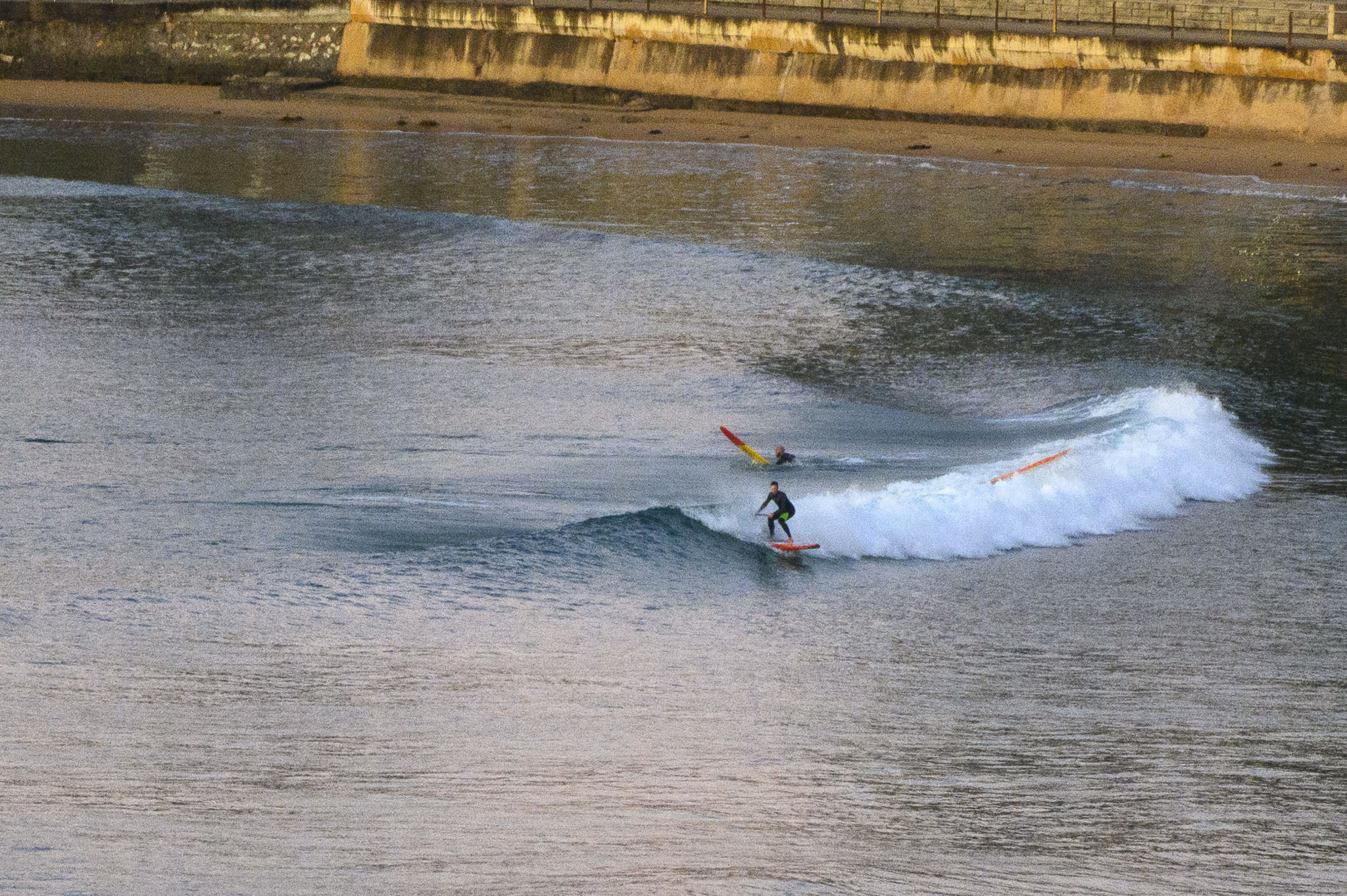
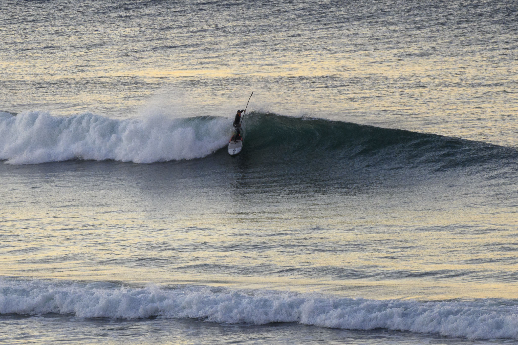
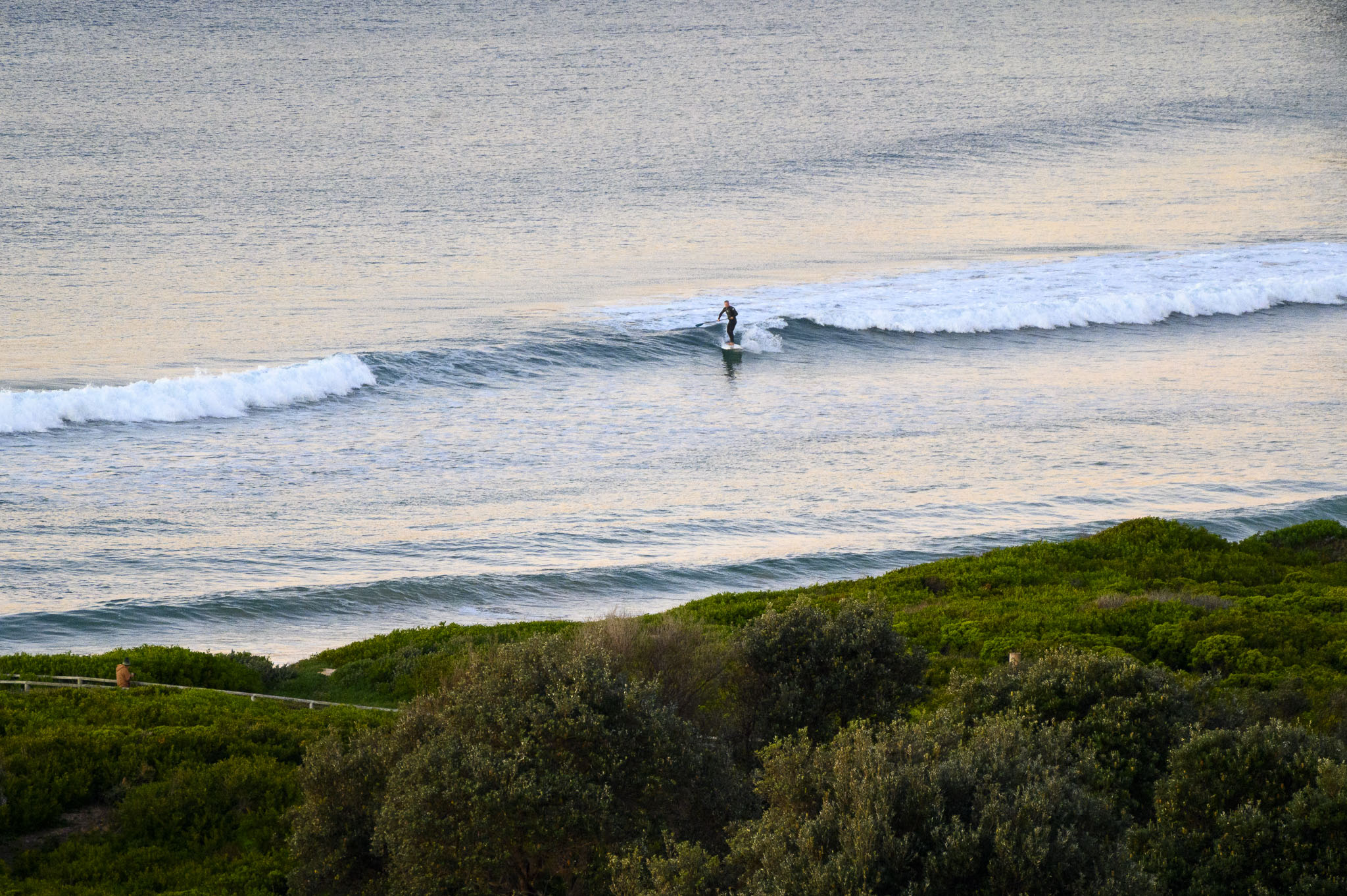
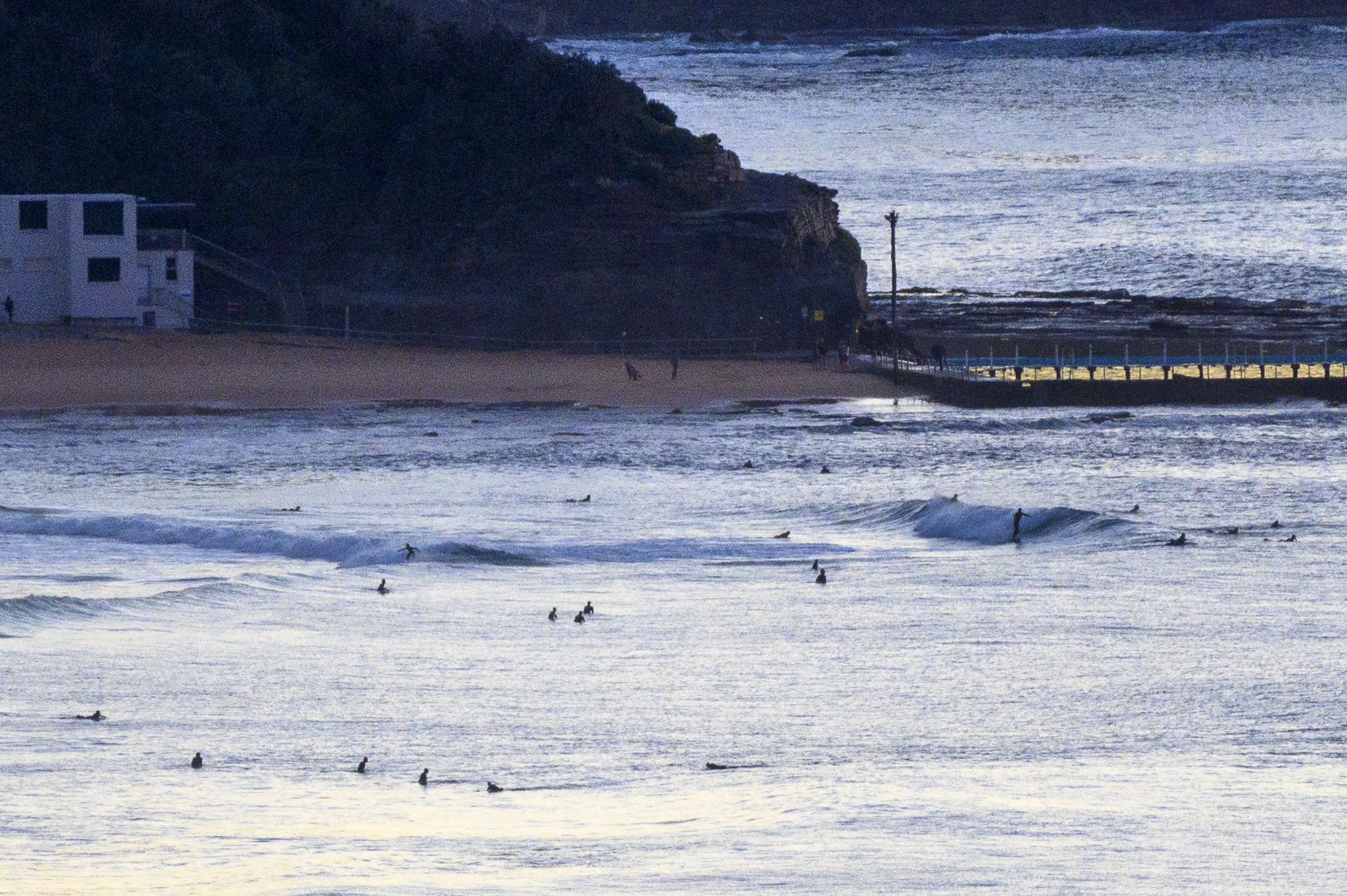
At day break, swell at sea was 0.8 metres at 13-sec from 173°. Sky was mostly clear and wind was 10-16 kts from the NW. Despite being pretty much flat most of the time, there were little sets in the knee to waist plus range at the usual south exposures. As the pictures show, you really wanted to be on something with length and volume to get into them.
It looks as though the current conditions should stick around all day, but tomorrow and Monday are looking very quiet indeed. Tuesday could see a slight uptick and right now Wednesday-Thursday is shaping to be a bit better still.
Have a great Saturday and mask up to protect yourself and others!
Weather Situation
A low pressure system over Bass Strait is moving east, with an associated weak trough moving off the east coast today with mostly west to northwesterly winds. A new high developing over Central Australia over the weekend will continue a west to southwesterly flow across most NSW waters until the new week, when winds turn south to southeasterly.
Forecast for Saturday until midnight
- Winds
- Westerly 15 to 20 knots, reaching up to 25 knots offshore in the evening.
- Seas
- 1 to 2 metres, decreasing to 1 to 1.5 metres around midday, then increasing to 1.5 to 2 metres later in the evening.
- Swell
- Northeasterly around 1 metre.
- Weather
- Partly cloudy.
Sunday 27 June
- Winds
- Westerly 15 to 20 knots turning south to southwesterly in the early afternoon.
- Seas
- 1.5 to 2 metres, decreasing to 1 metre around midday.
- Swell
- Southerly below 1 metre, increasing to 1 to 1.5 metres during the morning.
- Weather
- Mostly sunny.
Monday 28 June
- Winds
- Southerly 15 to 20 knots turning southeasterly 10 to 15 knots during the afternoon.
- Seas
- 1 to 1.5 metres.
- Swell
- Southerly 1.5 to 2 metres.
- Weather
- Partly cloudy. 80% chance of showers.


