Hello Friends,
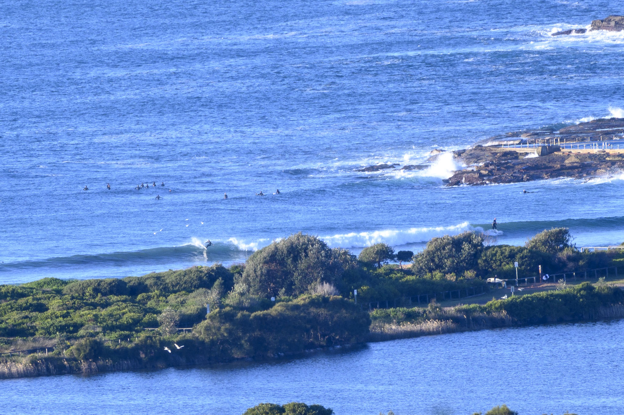
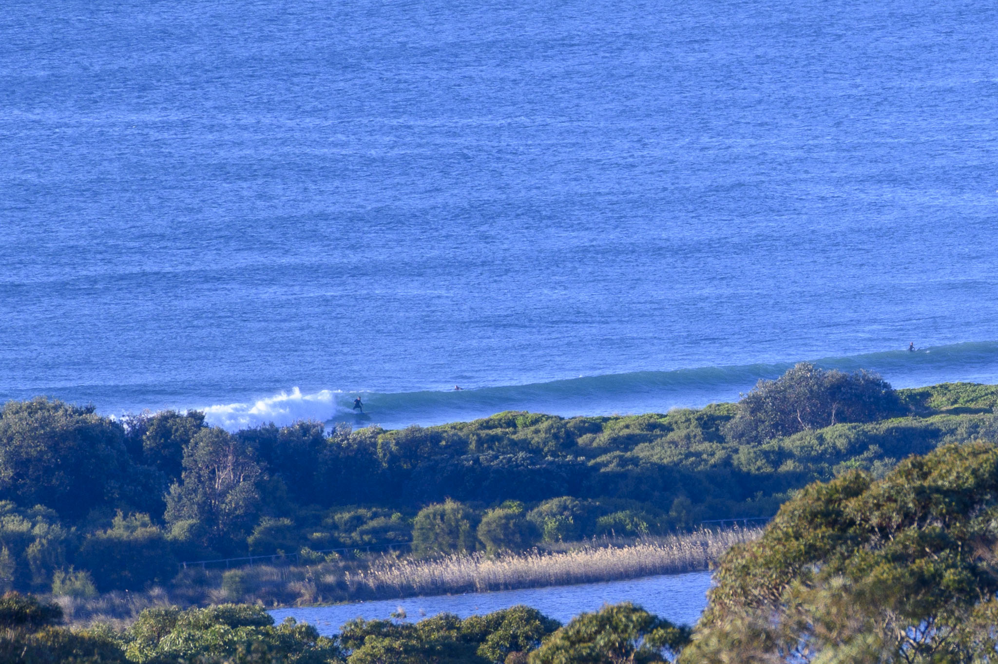
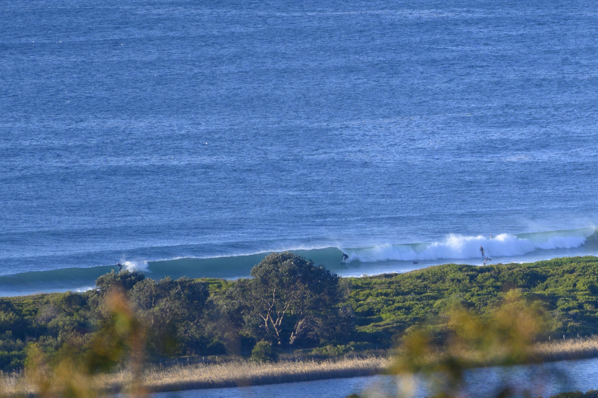
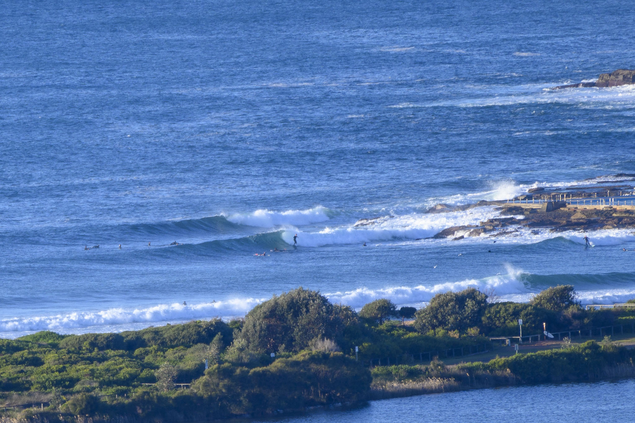
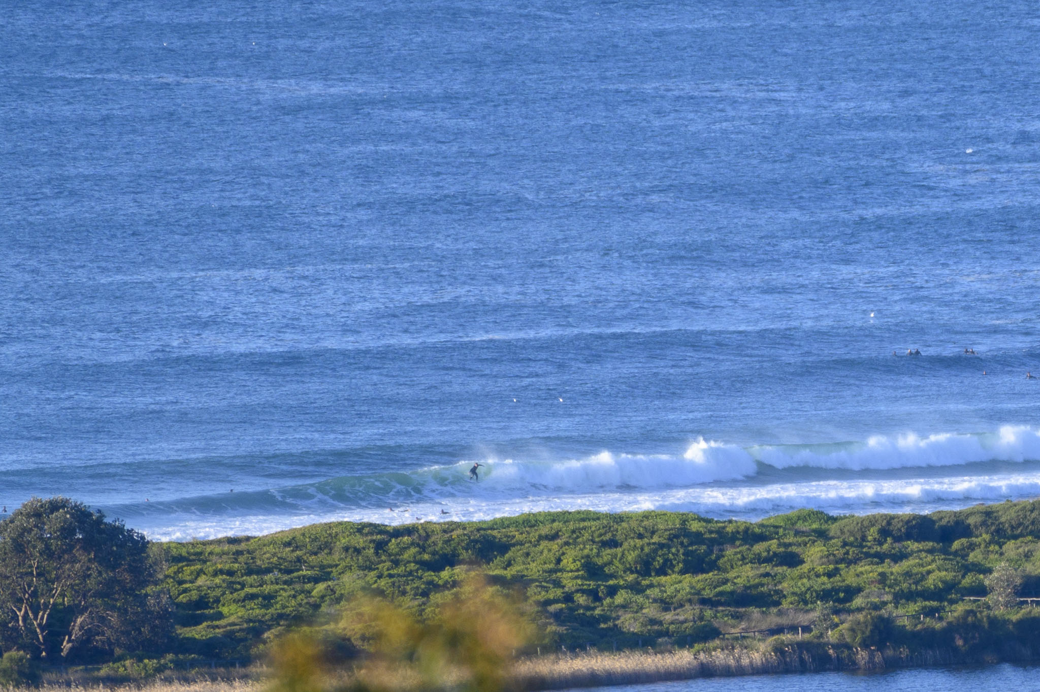
The waves continue. As expected, it’s smaller than yesterday, but there were still chest to head high and a bit sets as the Tuesday got started. Lots of folks in the water for their approved outdoor activity, so expect weekend/holiday crowds wherever there are waves.
We had clear skies and 8-9 kts of chilly NW breeze before 0900. Tide is coming in to the the high at 1035. Out at sea the swell was 1.4 m at 11 seconds from the ENE (113°). Ocean is still on 19C.
Weather Situation
A ridge of high pressure extending from a high over the western Tasman Sea is leading to North to northwesterly winds along the coast. Winds becoming fresh to strong on Wednesday and Thursday as a trough approaches from the west.
Forecast for Tuesday until midnight
- Winds
- West to northwesterly 15 to 20 knots.
- Seas
- 1 to 1.5 metres, decreasing to 1 metre around midday.
- Swell
- Southeasterly around 1 metre.
- Weather
- The chance of a thunderstorm offshore this morning. Mostly sunny afternoon.
Wednesday 14 July
- Winds
- Northwesterly 15 to 25 knots.
- Seas
- 1 to 2 metres.
- Swell
- Southeasterly below 1 metre.
- Weather
- Partly cloudy. 70% chance of showers.
Thursday 15 July
- Winds
- Northwesterly 20 to 30 knots.
- Seas
- 1.5 to 2.5 metres.
- Swell
- East to southeasterly below 1 metre.
- Weather
- Partly cloudy. 50% chance of showers. The chance of a thunderstorm in the morning.


