Hello Friends,
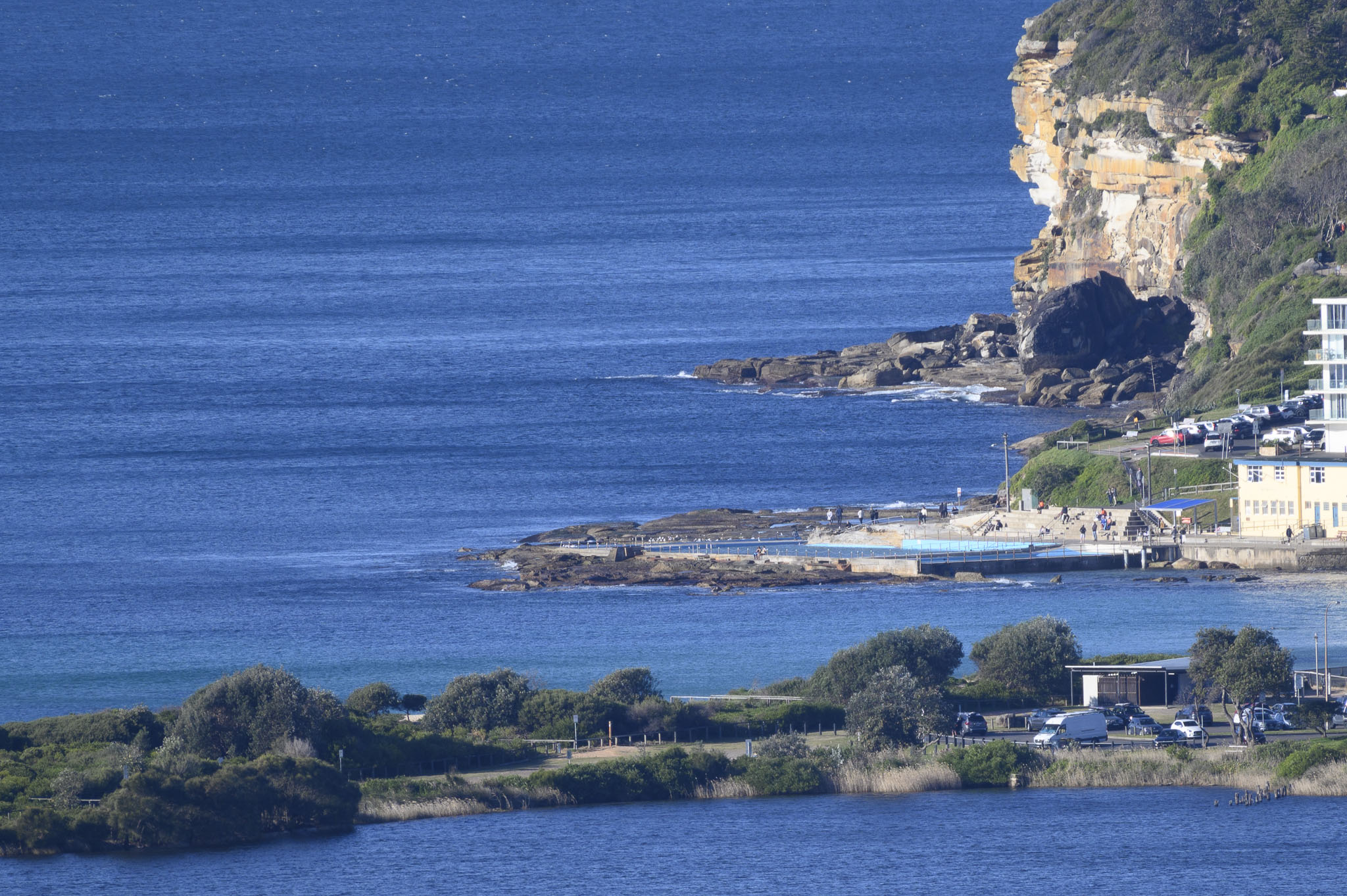
The picture tells the story. It’s a beautiful, bright sunny morning along the beaches, but there wasn’t a hint of a wave at Dee Why. Wind was coming from the west at 13-21 kts by 0900. There’s a gale warning, so it’s going to get stronger. Meanwhile at sea swell was 1.6 metres but since it had a period of 3-4 seconds, we’re talking chop rather than something that could be ridden.
Outlook according to the wave models is for our beaches to remain very quiet across the coming week. The long range predictions are hopeful for early next week, but it’s way too early to have much confidence. Still, good to see at least a chance of surf.
Stay safe everyone, wear your mask when you’re around others and get the jab – if you can.
Weather Situation
Strong to gale force westerly winds early this morning as a cold front moves across coastal waters. Winds are expected to gradually ease late today and Monday as the front pulls away.
Forecast for Sunday until midnight
Gale Warning for Sunday for Sydney Coast
- Winds
- West to northwesterly 25 to 35 knots, reaching 40 knots offshore during the day. Winds decreasing to 20 to 25 knots in the evening.
- Seas
- 2 to 4 metres, decreasing to 2 to 3 metres by early evening.
- Swell
- Southerly around 1 metre.
- Weather
- Partly cloudy. The chance of a thunderstorm offshore this morning.
Monday 26 July
Strong Wind Warning for Monday for Sydney Coast
- Winds
- West to northwesterly 15 to 25 knots, reaching up to 30 knots offshore during the morning.
- Seas
- Around 1 metre, increasing to 1.5 to 2.5 metres offshore.
- Swell
- Southerly 1 to 2 metres.
- Weather
- Sunny.
Tuesday 27 July
- Winds
- Westerly 15 to 20 knots tending northwesterly during the morning.
- Seas
- 1 to 1.5 metres.
- Swell
- Southerly 1 to 1.5 metres.
- Weather
- Sunny.


