Hello Friends,
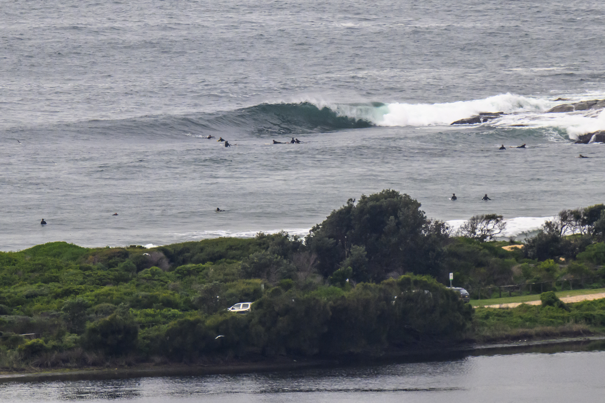
The NE wind was getting into it from first light this morning. Swell’s come around to the east and was 1.2 metres at nearly 11 seconds. So there are a few lumpy waist plusses in the mix. But the wind’s only going to pick up across the day, so it’ll be summer surf spots only.
One such is North Curly, where, amazingly, the crowd was still pretty reasonable at 0830. The Manly to Queenscliff stretch was pretty hammered by the wind and the same at Dee Why. If you can get into onshore conditions, there should be lots of uncrowded, junky but rideable options.
Stay safe!

Weather Situation
A high pressure system east of New Zealand will promote generally stable conditions across coastal waters, with northerly winds predominating. From today, a frontal system approaching western New South Wales and will strengthen northerly winds over central and southern coastal waters, which will continue through to the weekend. The front is expected to bring a strong southwesterly change along the coast during Sunday.
Forecast for Thursday until midnight
Strong Wind Warning for Thursday for Sydney Coast
- Winds
- Northeasterly 15 to 20 knots increasing to 20 to 25 knots in the early afternoon. Winds reaching up to 30 knots in the evening.
- Seas
- Around 1 metre, increasing to 1 to 1.5 metres during the morning, then increasing to 2 to 2.5 metres during the afternoon.
- Swell
- Southeasterly below 1 metre.
- Weather
- Mostly sunny.
Friday 3 September
Strong Wind Warning for Friday for Sydney Coast
- Winds
- North to northeasterly 20 to 30 knots.
- Seas
- 2 to 2.5 metres.
- Swell
- Easterly below 1 metre.
- Weather
- Sunny.
Saturday 4 September
- Winds
- Northerly 20 to 30 knots.
- Seas
- 1 to 2 metres, increasing to 2 to 3 metres offshore.
- Swell
- East to northeasterly below 1 metre, increasing to 1 to 1.5 metres during the morning.
- Weather
- Becoming cloudy. 60% chance of rain.


