Hello Friends,
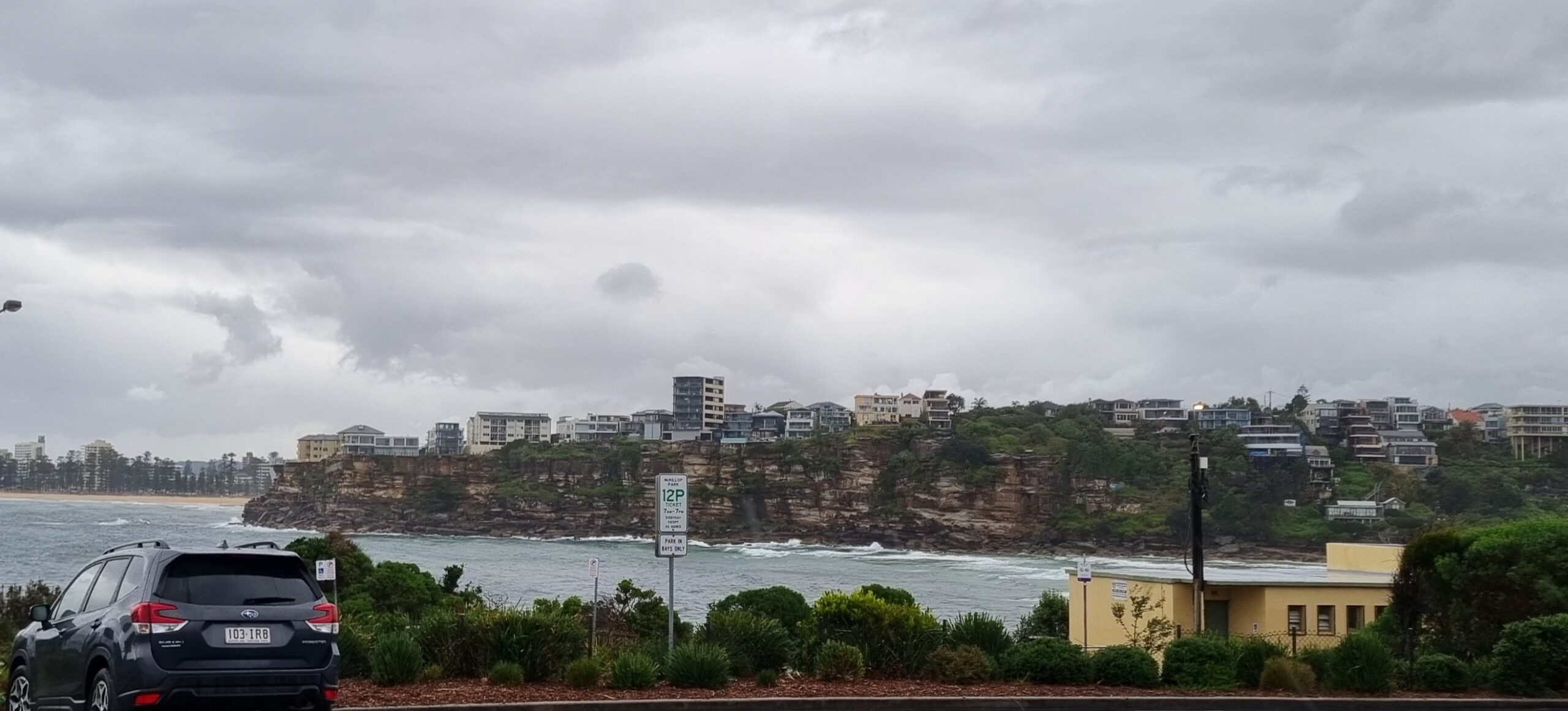
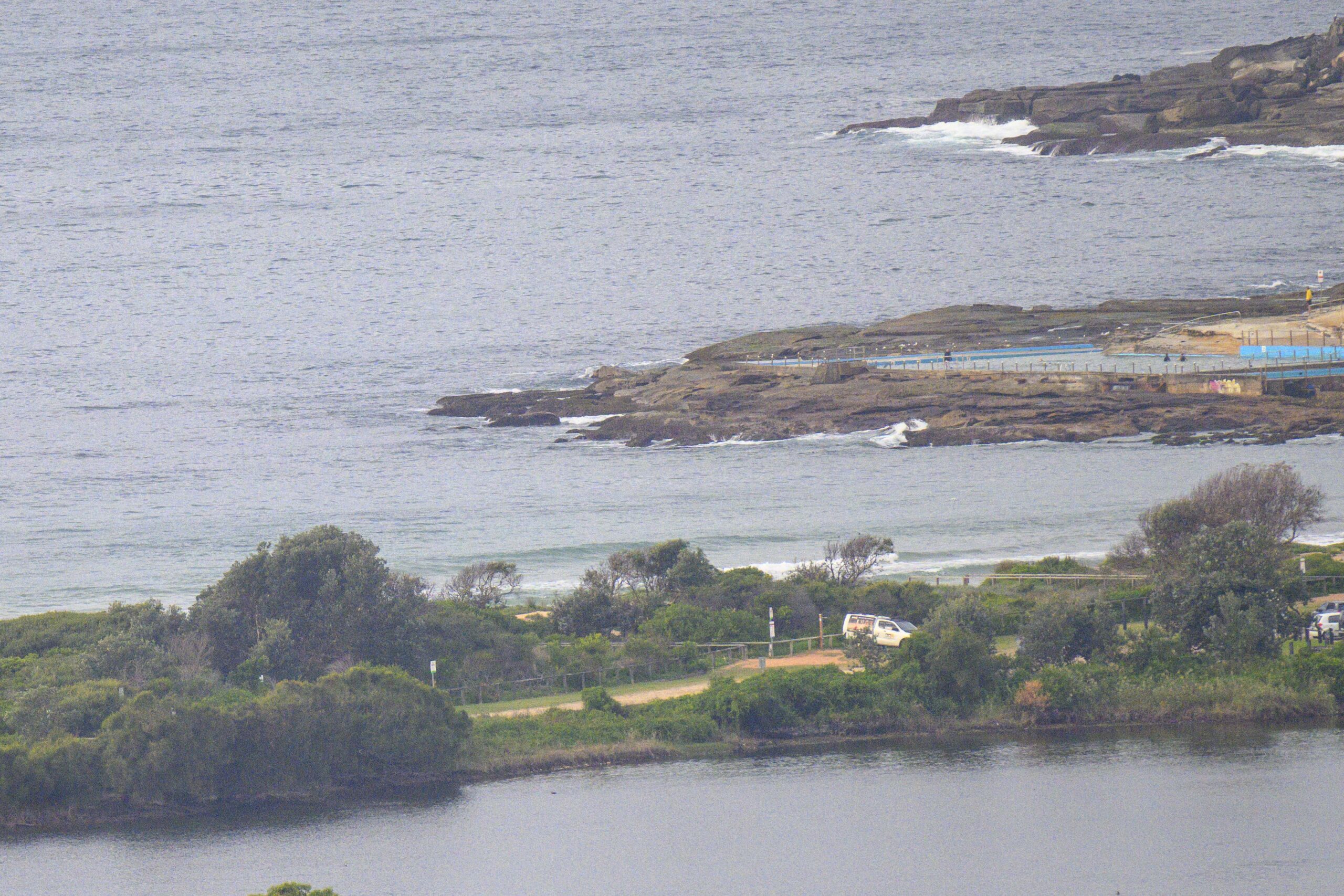
A combination of 17-25kts of SSE wind and frequent showers make for a pretty ordinary old day at the beach. Throw in 1.8 metres of short period (6 seconds) SE wind swell, and a swampy 1.75 m high tide at 1005, and you have pretty much all the reasons you need to pass on it.
From the look of the forecasts this morning, we’re in for a week of short period wind swell, rainy skies and onshores.
Ah well. That’s surfin’. You gotta have the junky days to really appreciate the good ones!
Go well, stay safe and have a good one.
Weather Situation
A trough of low pressure over central coastal waters is forecast to track gradually north and linger over the northern coast during the weekend as a high pressure system over the Bight moves slowly east. During Monday, the trough is expected to weaken as the high reaches the southern Tasman Sea, directing east to northeasterly winds across the coast.
Forecast for Sunday until midnight
Strong Wind Warning for Sunday for Sydney Coast
- Winds
- Southeasterly 15 to 25 knots, reaching up to 30 knots offshore.
- Seas
- 1 to 1.5 metres, increasing to 1.5 to 2.5 metres during the morning.
- 1st Swell
- Southerly around 1 metre.
- 2nd Swell
- Easterly around 1 metre.
- Weather
- Cloudy. 95% chance of rain.
Monday 22 November
Strong Wind Warning for Monday for Sydney Coast
- Winds
- Southeasterly 20 to 25 knots, reaching up to 30 knots offshore during the day.
- Seas
- 2 to 2.5 metres.
- Swell
- Easterly 1 to 1.5 metres, increasing to 1.5 to 2.5 metres during the morning.
- Weather
- Cloudy. 60% chance of showers.
Tuesday 23 November
- Winds
- Easterly 15 to 25 knots turning northeasterly 15 to 20 knots during the evening.
- Seas
- 1.5 to 2 metres, decreasing below 1.5 metres during the afternoon.
- Swell
- Easterly 2 to 2.5 metres.
- Weather
- Cloudy. 60% chance of showers.


