Hello Friends,
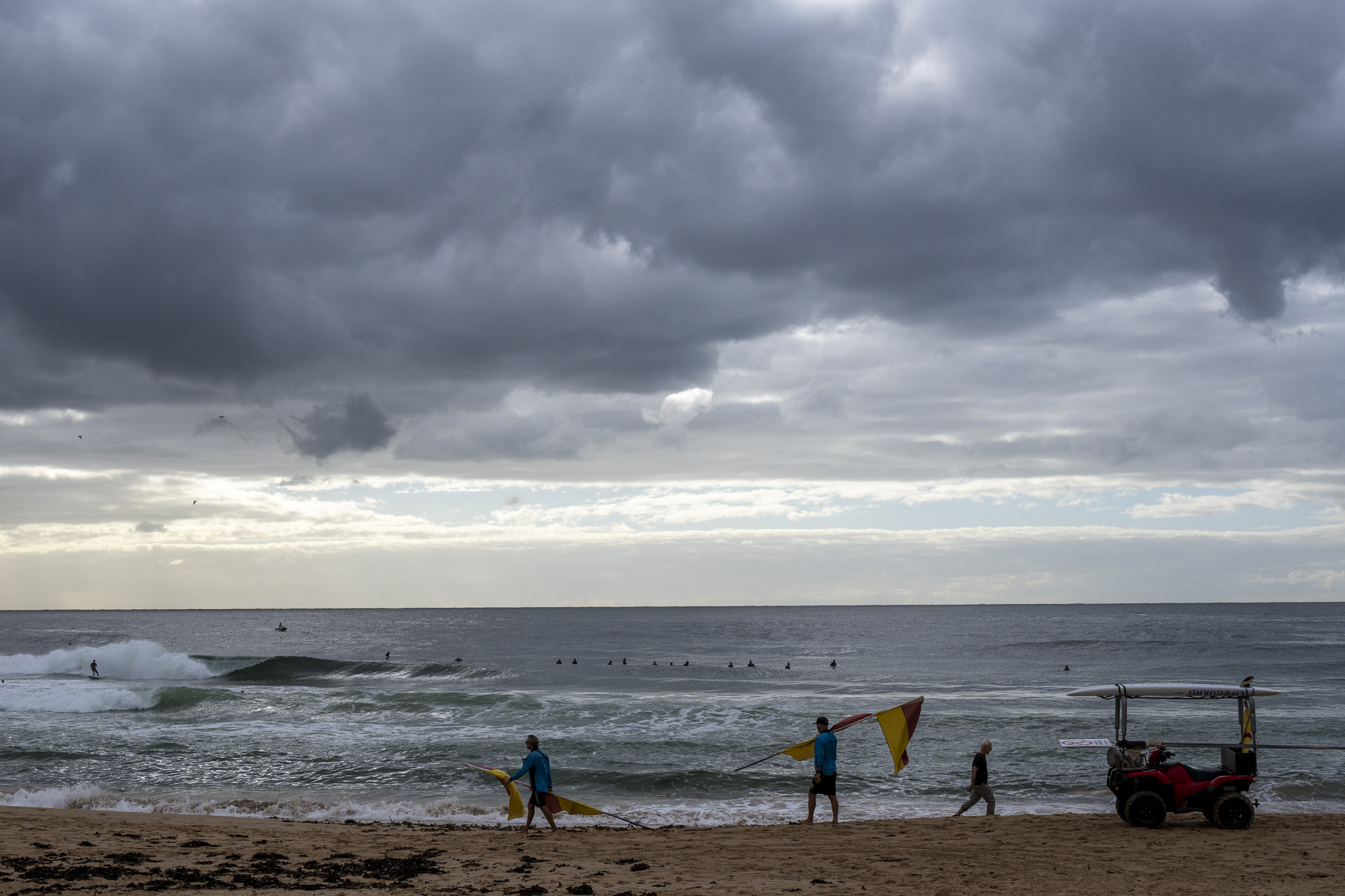
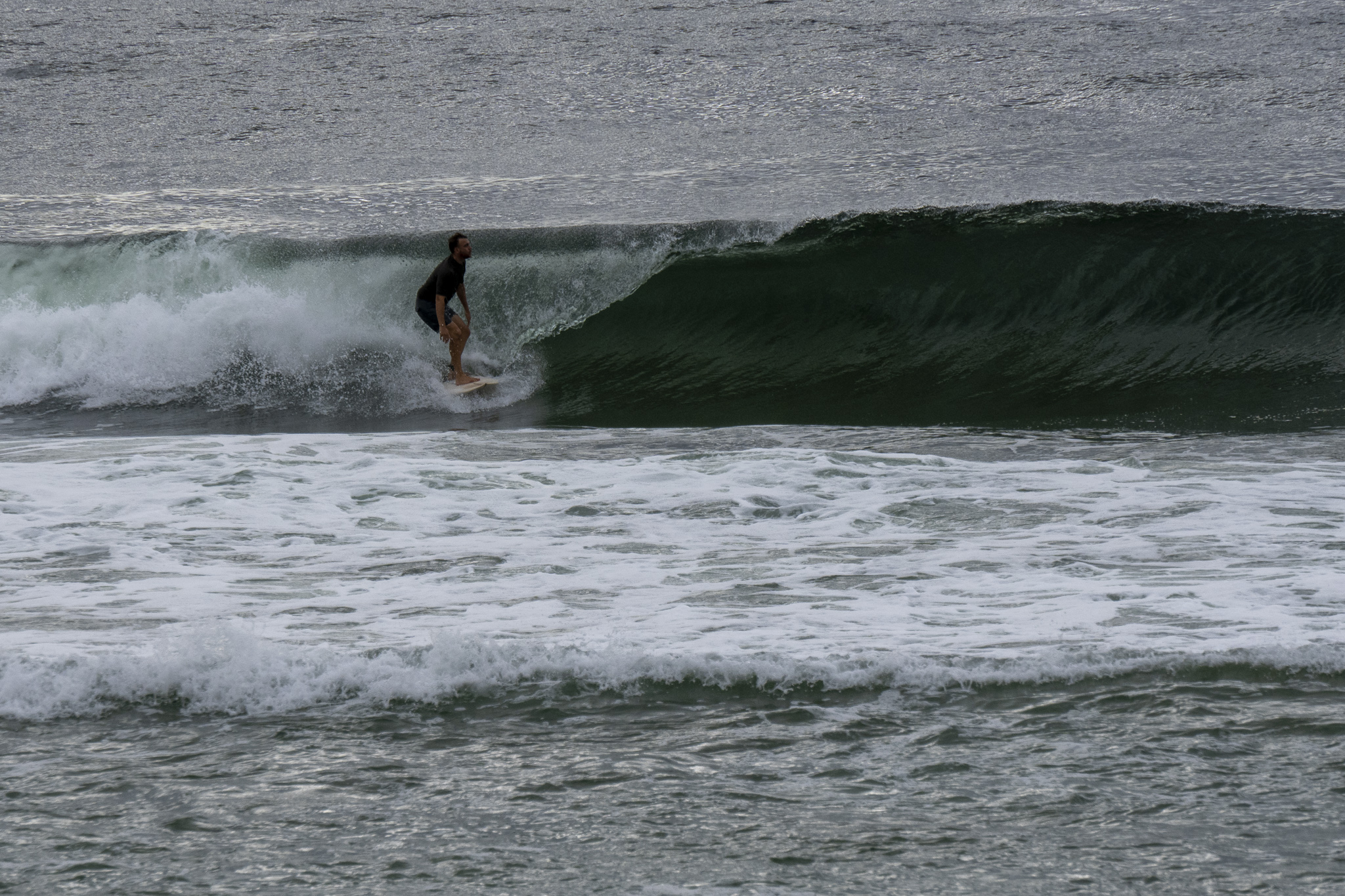
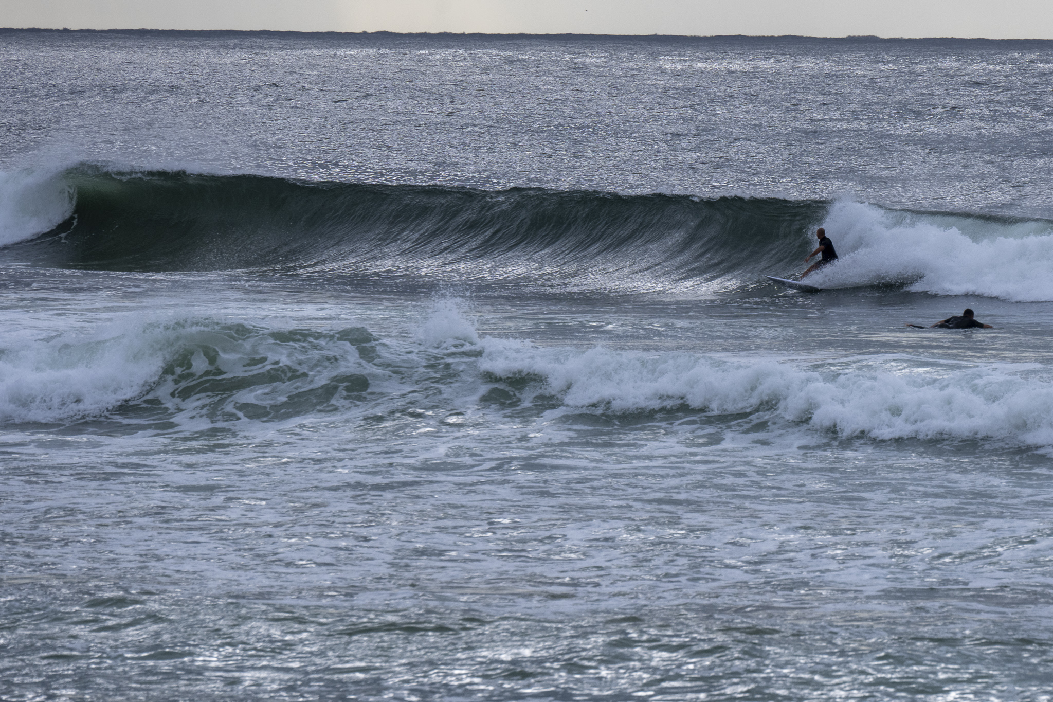
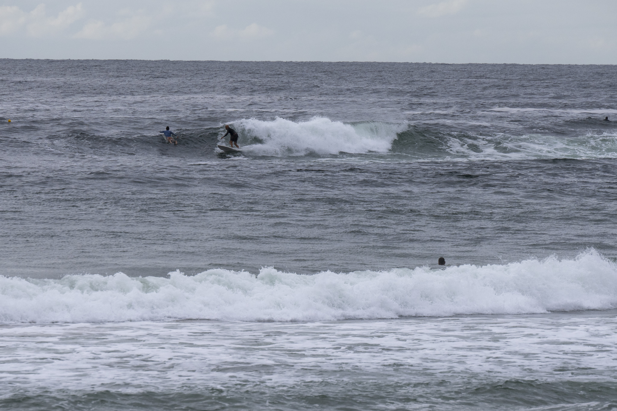
Light WSW breezes fanning a fading SSE swell this morning. Out at sea swell was 1.8m at 8 seconds from 162° and that was translating into shoulder high sets at the best exposures. Tide was coming in to the high at 1120, but at least where Dee Why was concerned, it was almost as though we had a low tide because of the way most sets were shutting down. The bank just north of the club would look good as a set approached, but in every case I saw over the course of 10 minutes or so, they were unmakeable. The point was really only for die-hard fans as it was way less consistent and smaller and weaker looking. We’re set for a partly cloudy day with a high of 25C with water on 24C, oh, and good news, Beachwatch is now saying that pollution is unlikely at most beaches.
Go well everyone!
Weather Situation
A high pressure system, currently south of Tasmania, extends a ridge along the New South Wales coast. The high will continue to move slowly eastwards into the Tasman Sea over the coming days, ahead of another southerly change expected mid-next week.
Forecast for Monday until midnight
- Winds
- Southerly 15 to 20 knots decreasing to about 10 knots in the late evening.
- Seas
- 1 to 1.5 metres, decreasing to 1 metre by early evening.
- Swell
- Southeasterly 2 metres.
- Weather
- Partly cloudy.
Tuesday 22 March
- Winds
- Variable about 10 knots becoming north to northeasterly 15 to 20 knots in the early afternoon.
- Seas
- Below 1 metre, decreasing below 0.5 metres during the morning, then increasing to around 1 metre around midday.
- Swell
- Southeasterly 1.5 to 2 metres.
- Weather
- Mostly sunny.
Wednesday 23 March
- Winds
- Northerly 15 to 20 knots shifting south to southwesterly during the day then tending south to southeasterly during the afternoon.
- Seas
- 1 to 1.5 metres.
- Swell
- Southeasterly 1.5 metres, decreasing to around 1 metre during the morning.
- Weather
- Partly cloudy. 60% chance of showers. The chance of a thunderstorm in the afternoon and evening.


