Hello Friends,
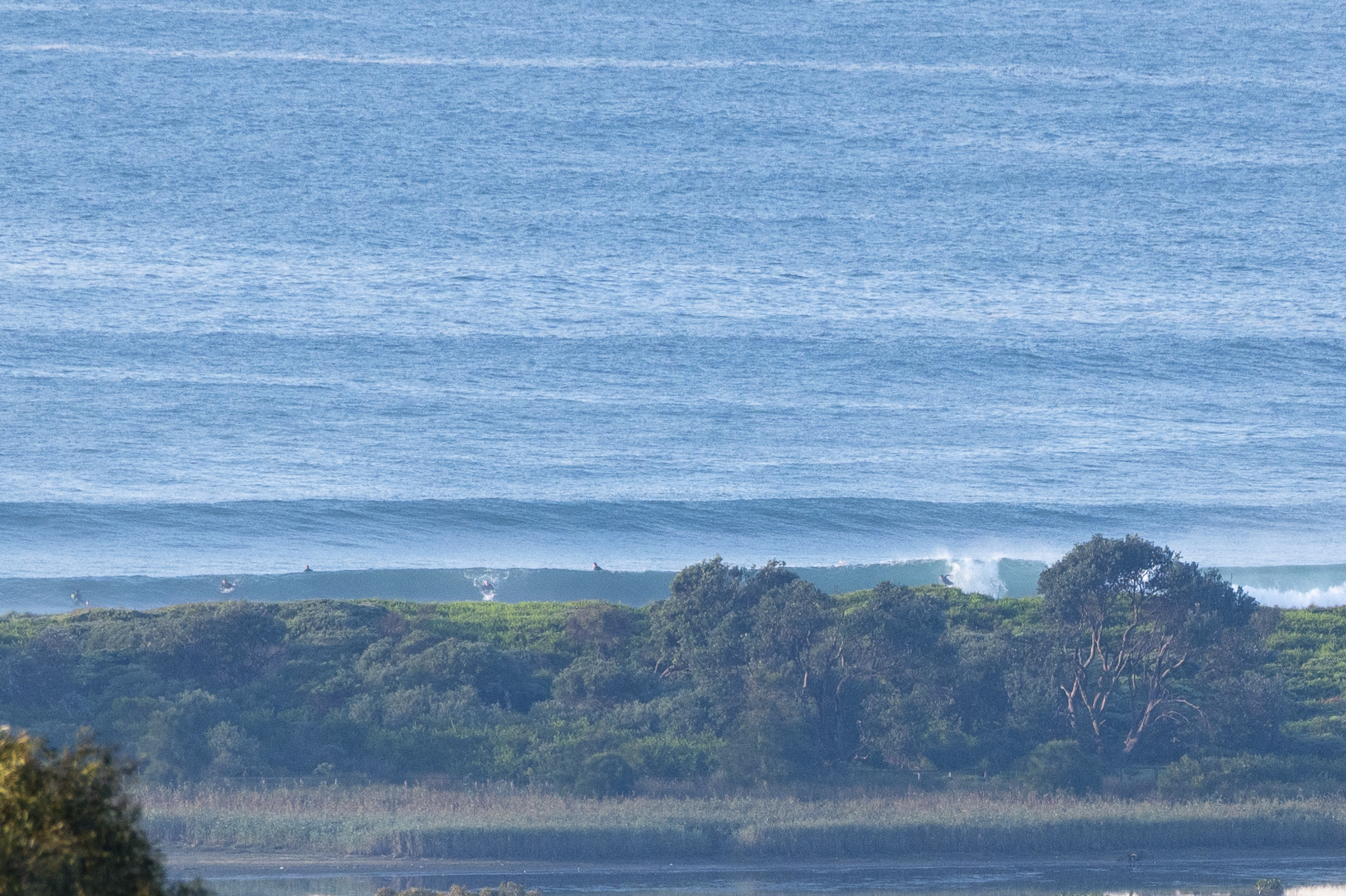
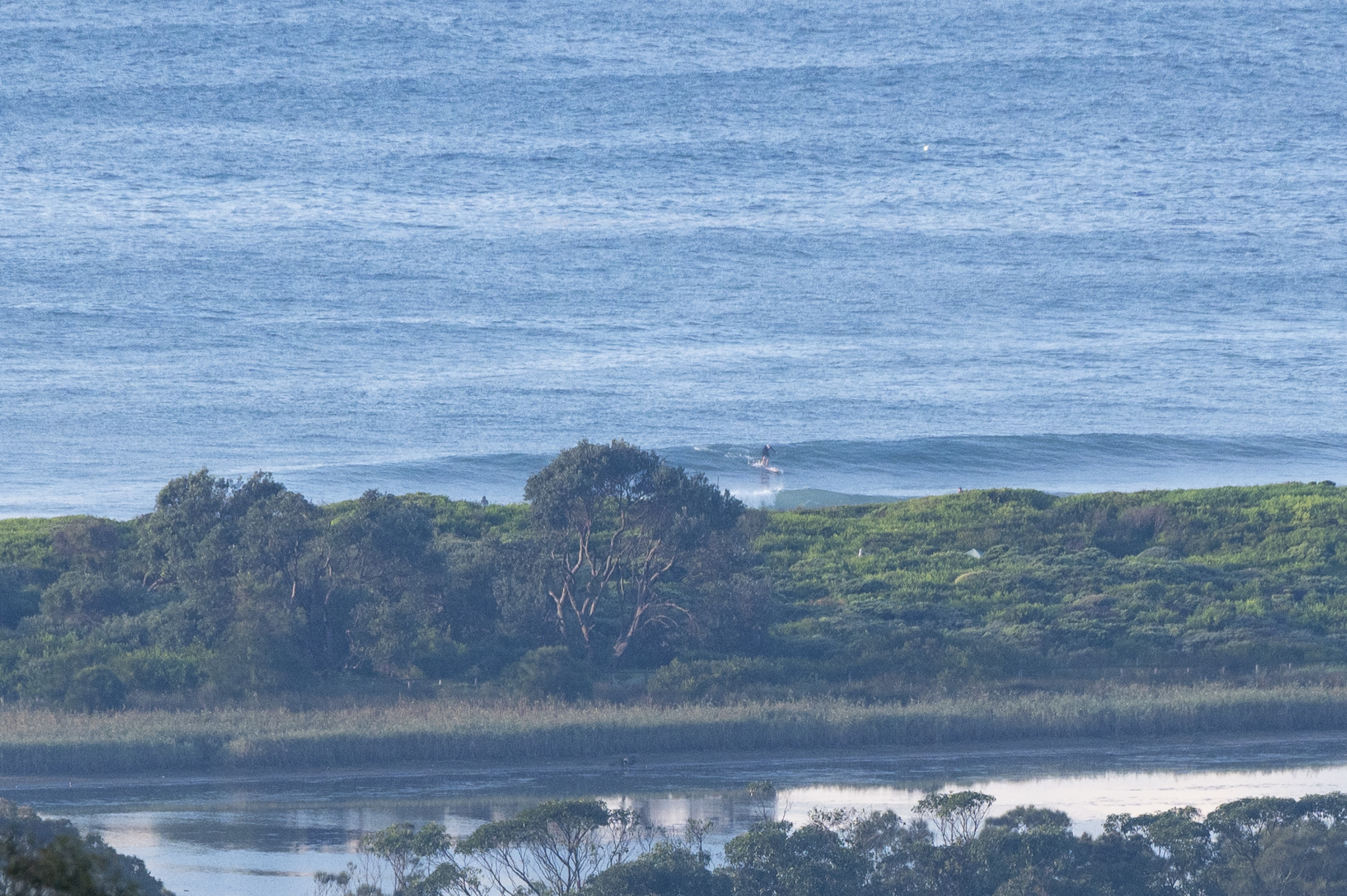
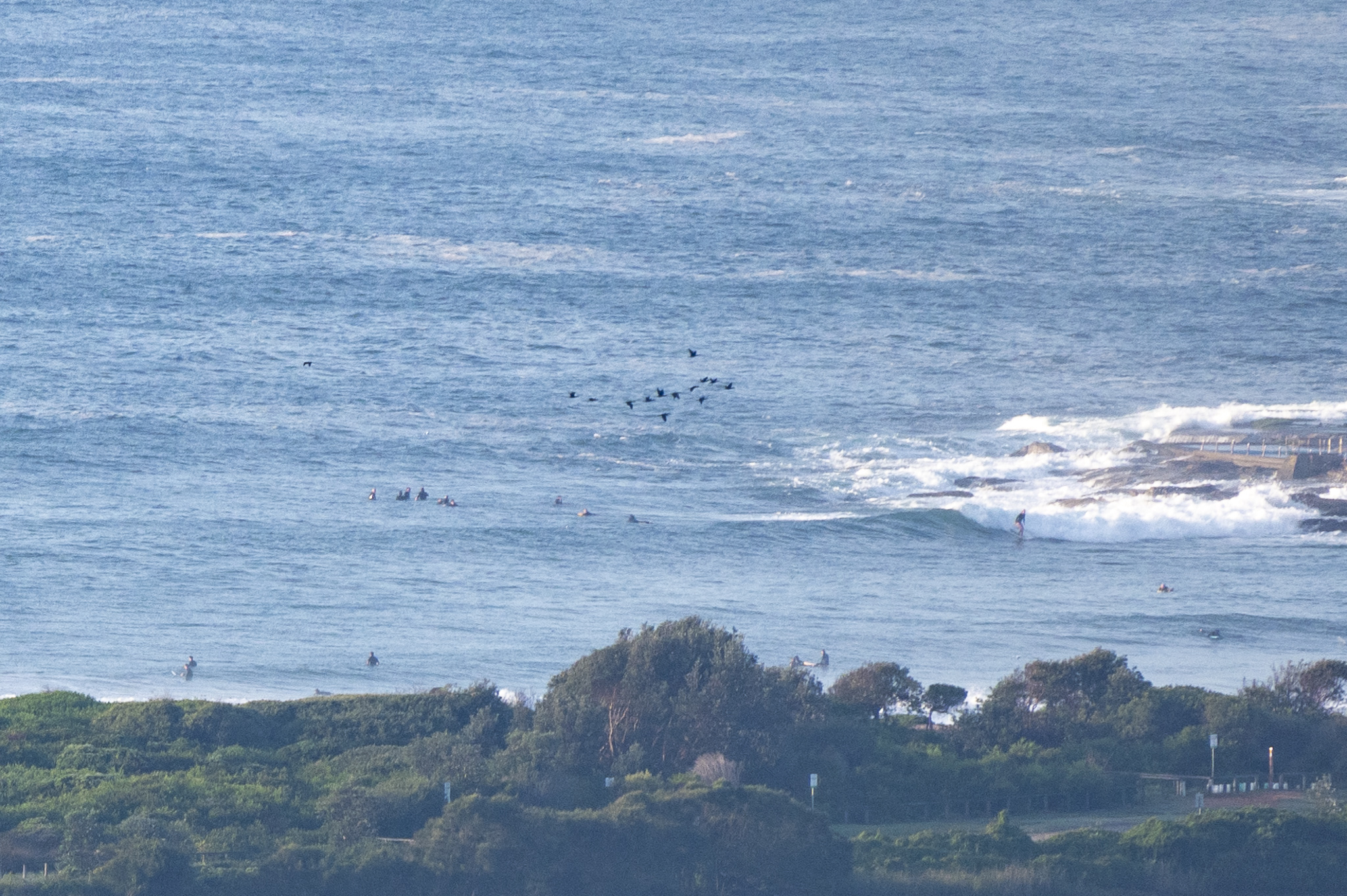
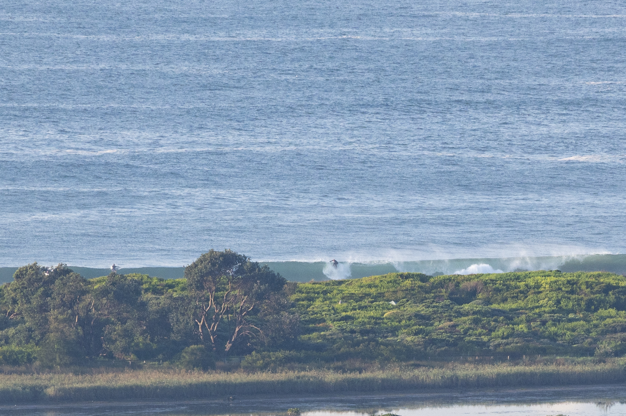
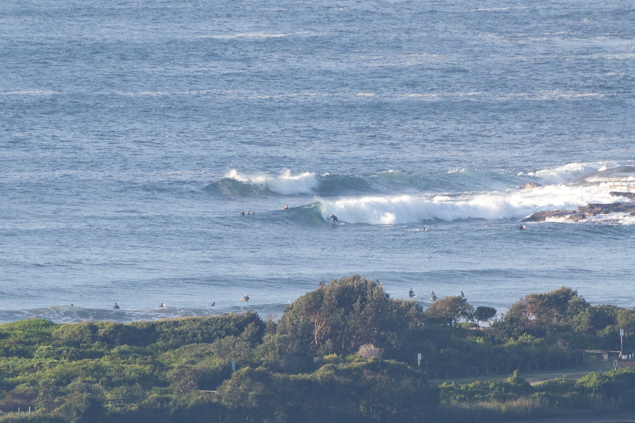
Sunny skies, light westerly wind and a 1.3 m, 14-15 sec SE swell. There’s a little east energy in the mix as well. Set wave faces were into the head high range, but they were mostly shutting down along the beach and only rarely appearing at the point. That long period doesn’t play nice with beachbreaks, so look for some structure as the fisherpeople say.
Tide hit a 1.49m high at 0600, so it’s now draining out to the 0.53 m low at noon.
Weather should be sunny and the wind will stay light as it drifts around to the northerly quarters as the day goes along.
Looks like a great day to slot in a surf!
And, despite COVID finally catching the ever cautious Goat, he’s rolled out a fresh new forecast for your consideration.
Go well one and all
Weather Situation
A high pressure system near New Zealand will remain slow moving into Saturday, while a slow moving trough is situated in the west of the state. These systems are directing northerly winds along the coast. Winds will shift west to southwesterly on Saturday as the inland trough pushes north and east along the coast, strengthening and tending westerly again in the new week with the passage of a strong front.
Forecast for Friday until midnight
- Winds
- Northwest to northeasterly about 10 knots.
- Seas
- Below 1 metre.
- 1st Swell
- Easterly 1.5 metres.
- 2nd Swell
- Southerly around 1 metre.
- Weather
- Partly cloudy. The chance of a thunderstorm offshore.
Saturday 28 May
- Winds
- West to northwesterly about 10 knots becoming southwesterly in the early afternoon then increasing to 10 to 15 knots in the evening.
- Seas
- Below 1 metre.
- Swell
- Northeasterly 1.5 metres.
- Weather
- Partly cloudy. 90% chance of showers. The chance of a thunderstorm offshore.
Sunday 29 May
- Winds
- Southwesterly 15 to 20 knots turning westerly 10 to 15 knots during the evening.
- Seas
- Around 1 metre.
- Swell
- East to northeasterly 1.5 metres.
- Weather
- Partly cloudy. 70% chance of showers. The chance of a thunderstorm.

