Hello Friends,
Another missable morning on the surf front, sad to say.
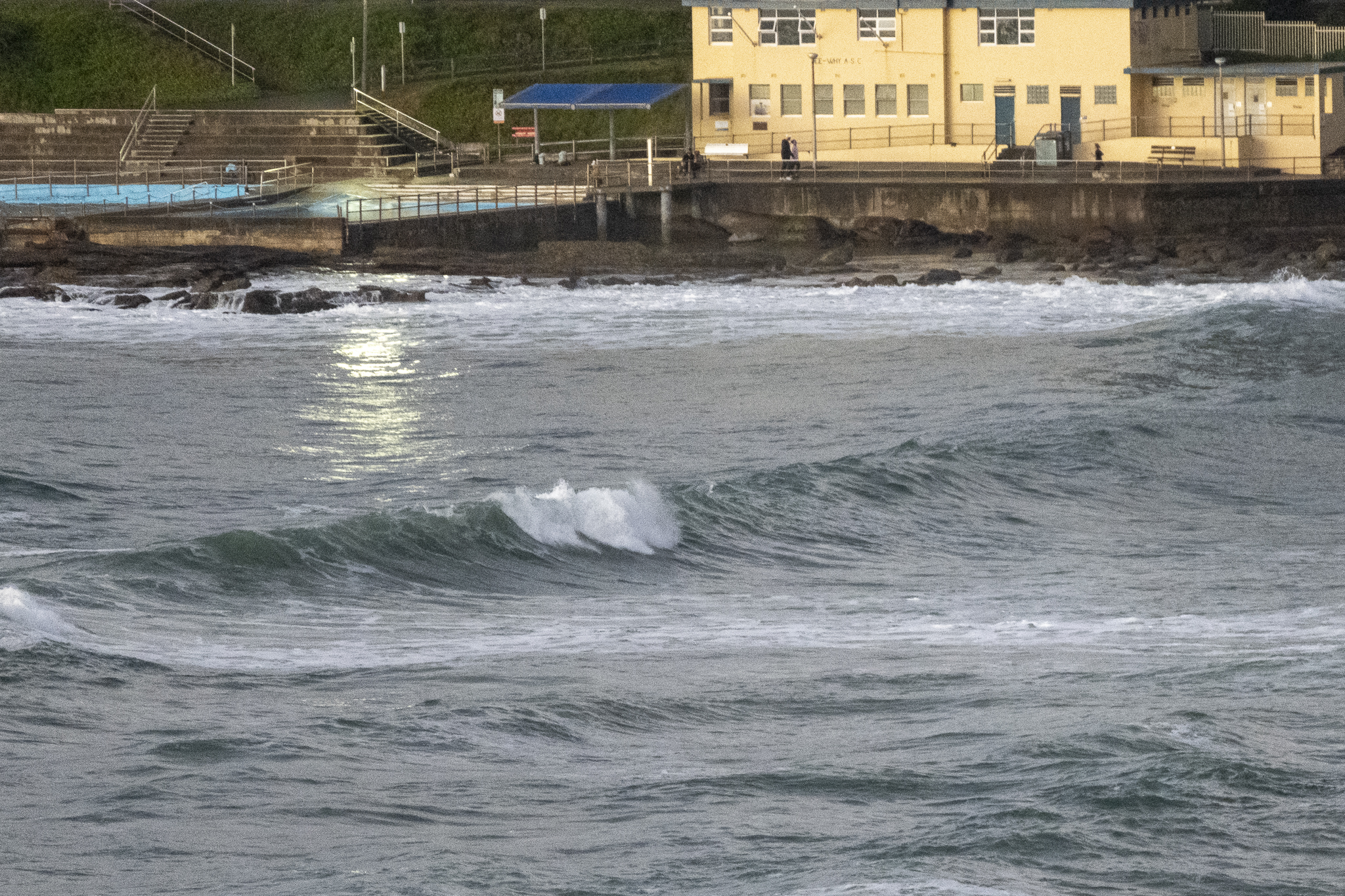
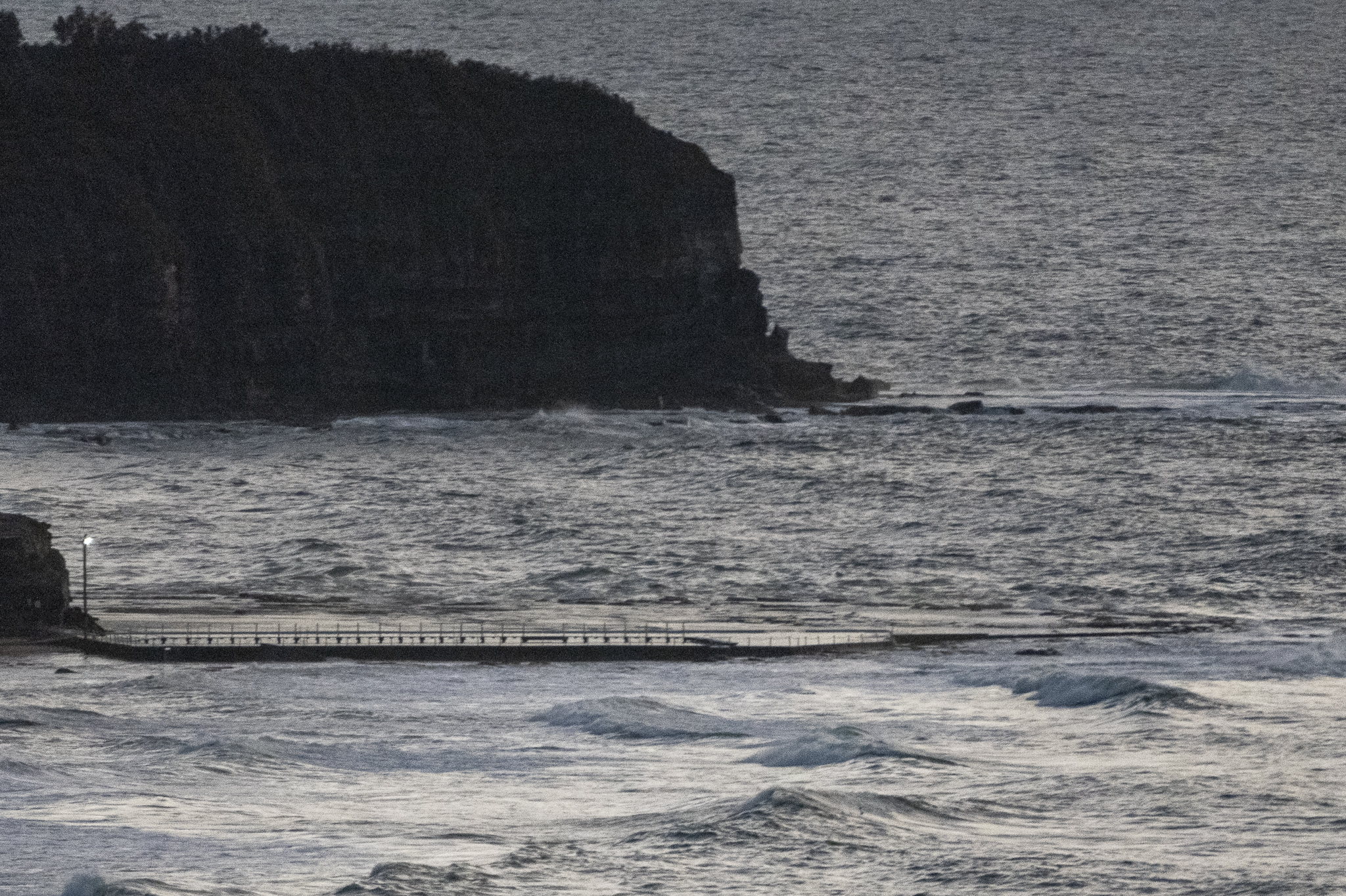
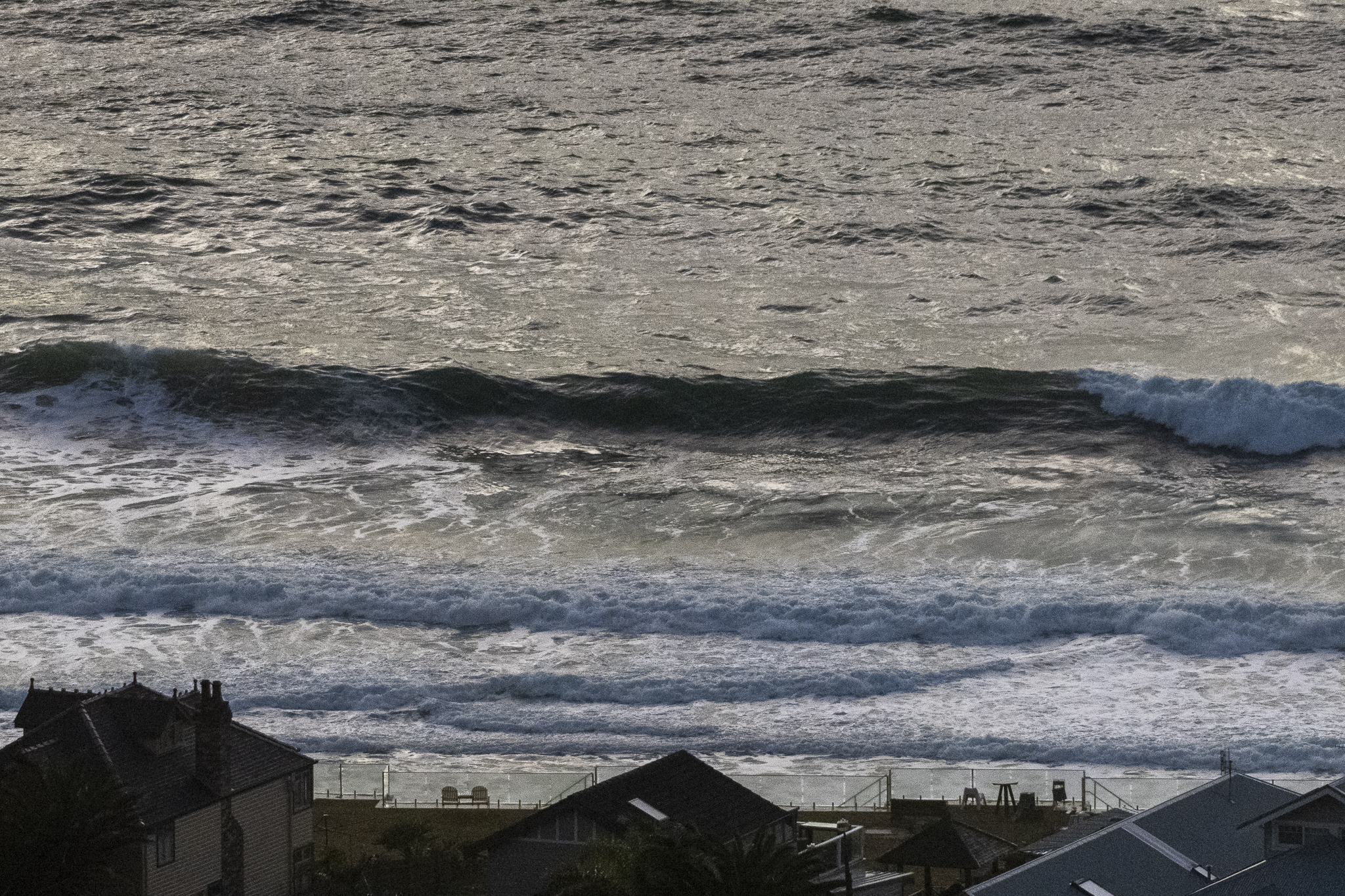
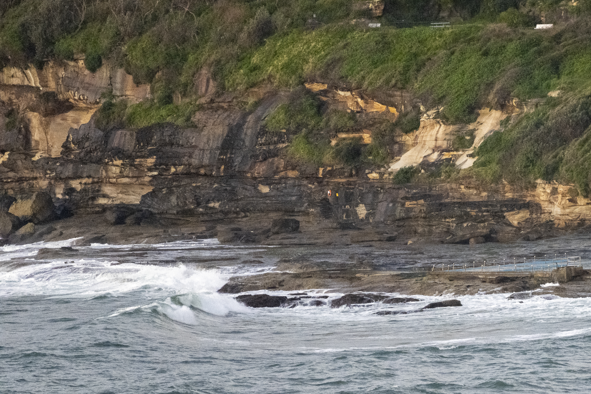
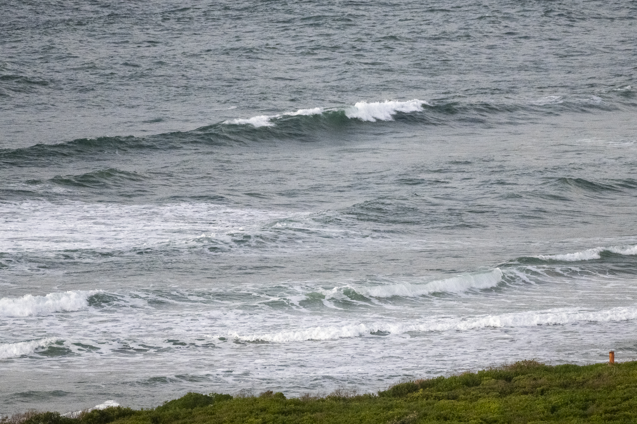
Wind was light easterly as of 0630 and swell at sea was out of the ESE at a shade under 2 metres at 8 seconds apart. Not too inspiring.
There’s an energetic low up north, so we should see the swell perk up a little toward dark, but it’ll still be onshore. Tomorrow morning is looking reasonably hopeful for the early with a combo of 10 sec east swell and light offshore breezes.
And the good news is that the swell models are pretty hopeful that the 2 metre east and morning offshores pattern will last through the front half of next week.
So, knock over a few chores today and keep the fingers crossed for tomorrow.
Weather Situation
A strong high pressure system over the southern Tasman Sea, together with a strong low pressure system off the southeast coast of Queensland, are generating large and powerful easterly swells and strong to gale southeasterly winds over the northern coastal waters. Winds and the surf conditions should gradually ease on Sunday as the low moves offshore while the high pressure system extends a ridge towards the east coast of the continent.
Forecast for Saturday until midnight
- Winds
- East to southeasterly 10 to 15 knots tending southeasterly about 10 knots in the afternoon.
- Seas
- Around 1 metre.
- Swell
- Northeasterly 2 to 2.5 metres.
- Weather
- Partly cloudy. 60% chance of showers.
Sunday 24 July
- Winds
- South to southeasterly about 10 knots.
- Seas
- Below 1 metre.
- Swell
- Easterly 2 to 2.5 metres.
- Weather
- Partly cloudy. 60% chance of showers.
Monday 25 July
- Winds
- South to southwesterly about 10 knots becoming northerly during the evening.
- Seas
- Below 1 metre.
- Swell
- Easterly 2.5 metres.
- Weather
- Partly cloudy.


