Hello Friends,
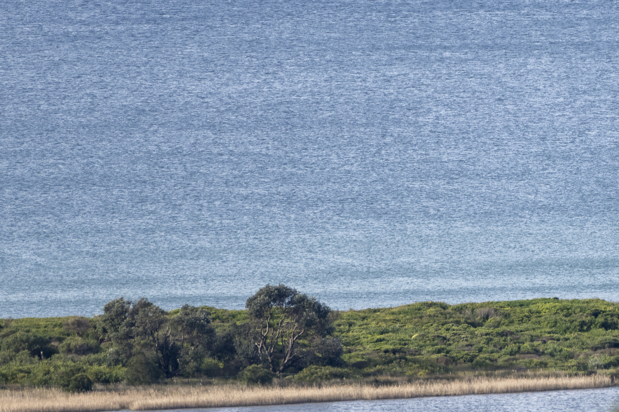
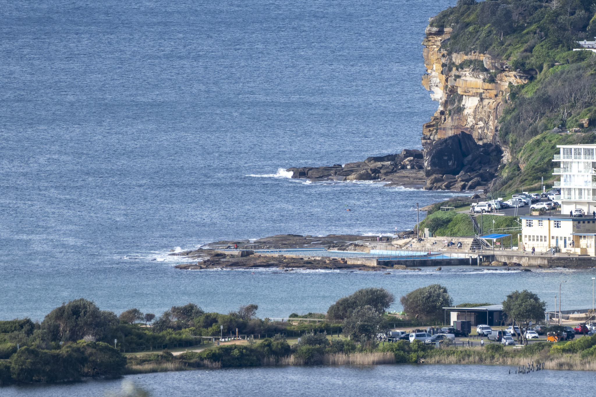
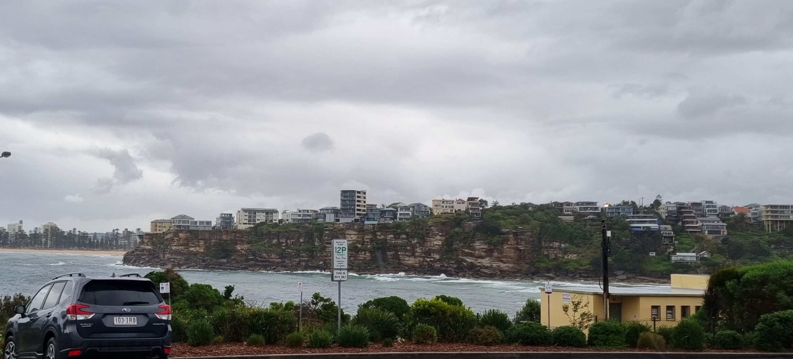
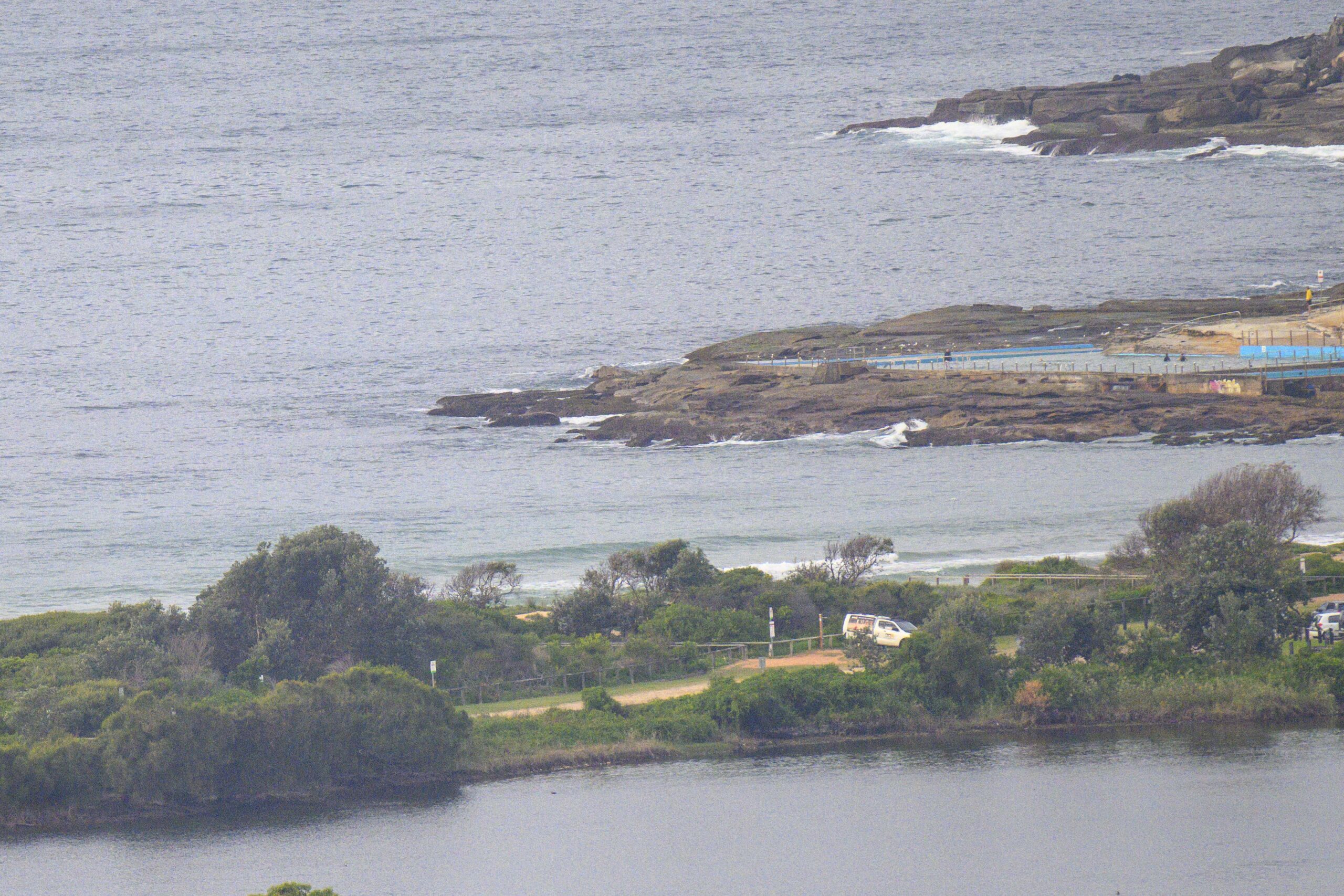
Flat good and proper folks. Surfing’s not a thing in Dee Why or Sydney today. And from the look of the forecast models, it’s going to stay this way well into next week.
Sorry not to have gladder tidings, but so it goes. Here’s hoping the east pulse on Friday showing on at least one of the models turns out to be the real thing.
Go well, stay safe and have fun with your Sunday.

Weather Situation
A low pressure system is deepening just east of Bass Strait and extends a trough which will move over the state today. This low move very slowly southwards today and into Monday as a ridge of high pressure develops across the state’s north. This pattern will causing westerly winds over the coastal waters over the next few days. Winds will turn southerly later Tuesday as the low weakens and moves away.
Forecast for Sunday until midnight
- Winds
- Northwesterly 15 to 25 knots turning westerly during the morning.
- Seas
- 1 to 2 metres.
- Swell
- East to northeasterly around 1 metre.
- Weather
- Partly cloudy. 60% chance of showers. The chance of a thunderstorm offshore.
Monday 15 August
- Winds
- West to northwesterly 15 to 20 knots, reaching up to 25 knots offshore early in the morning and again in the evening.
- Seas
- Around 1 metre, increasing to 1.5 to 2 metres offshore.
- Swell
- Easterly around 1 metre.
- Weather
- Mostly sunny.
Tuesday 16 August
- Winds
- West to northwesterly 15 to 25 knots turning southwesterly 10 to 15 knots during the afternoon.
- Seas
- 1 to 2 metres, decreasing to 1 metre during the afternoon or evening.
- Swell
- Easterly below 1 metre.
- Weather
- Partly cloudy. 50% chance of showers.


