Hello Friends,
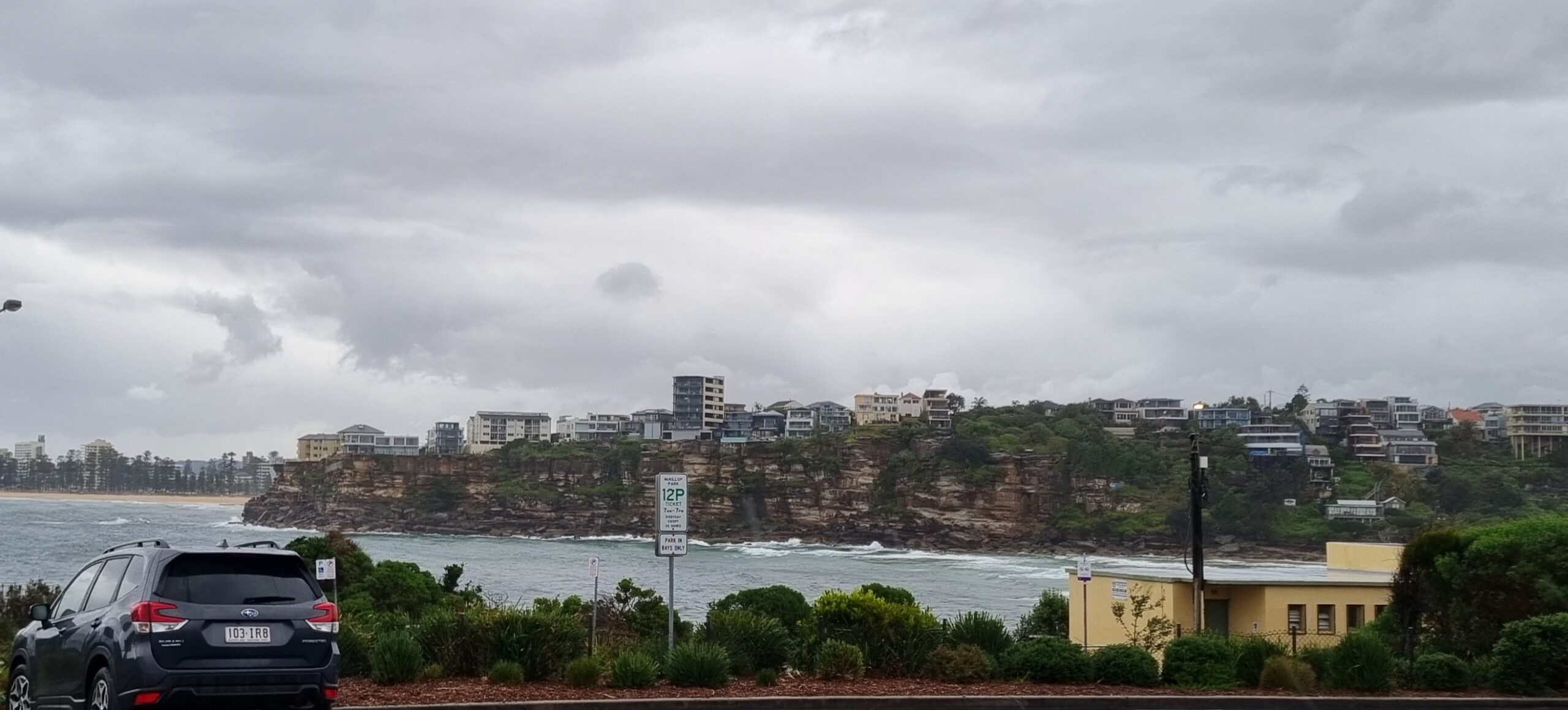
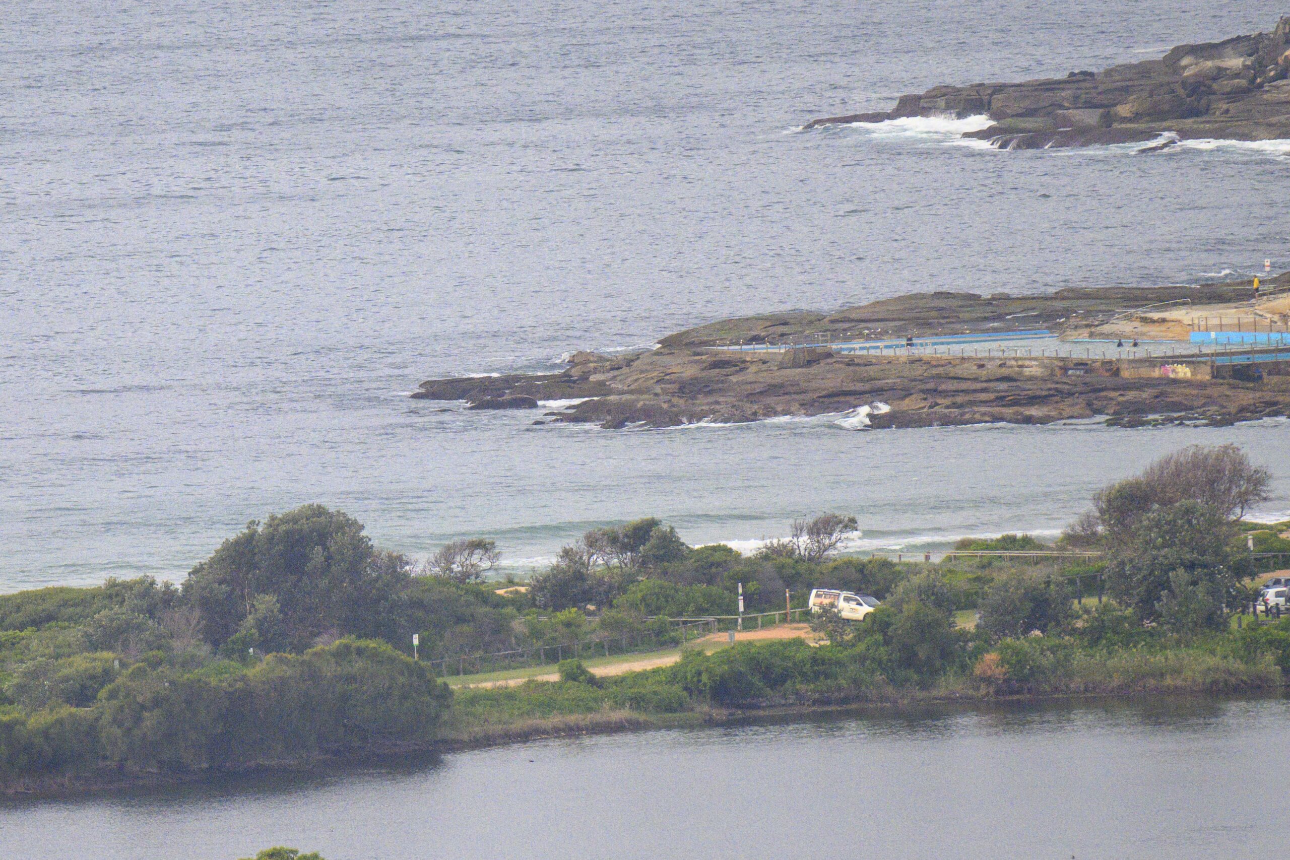
Another near-flat day. There were a few wait-10-minutes knee to waist high bumps at Curly when I checked it this morning. Apart from the lack of swell, conditions were near perfect.
The swell models are still showing a small pulse from maybe late Thursday. It’s not looking too amazing, but chest to shoulder high Friday morning might not be too much of a stretch. Between now and then, it appears that we can only expect more ultra-puny conditions tomorrow and Wednesday.
Have a good one everybody!


Weather Situation
A deep low centred near Bass Strait is directing generally westerly winds over the New South Wales coast today, fresh to strong in some areas. The low is forecast to weaken and move away during Tuesday. This will allow a ridge to extend over New South Wales, delivering southerly winds to most coastal waters, gradually shifting northerly during Wednesday and Thursday as the high moves to the Tasman Sea. A cold front is forecast to bring a west to southwesterly change at the end of the week.
Forecast for Monday until midnight
- Winds
- Northwesterly 15 to 20 knots, reaching up to 25 knots offshore during the morning and early afternoon.
- Seas
- Around 1 metre, increasing to 1.5 to 2 metres offshore.
- Swell
- Northeasterly below 1 metre.
- Weather
- Mostly sunny.
Tuesday 16 August
- Winds
- West to northwesterly 15 to 20 knots turning southwesterly in the early afternoon.
- Seas
- Around 1 metre, increasing to 1 to 1.5 metres offshore.
- Swell
- Easterly below 1 metre.
- Weather
- Mostly sunny. 60% chance of showers.
Wednesday 17 August
- Winds
- South to southwesterly 15 to 25 knots decreasing to about 10 knots during the evening.
- Seas
- 1 to 2 metres, decreasing to 1 metre during the evening.
- Swell
- Southerly around 1 metre inshore, increasing to 1 to 1.5 metres offshore during the morning.
- Weather
- Partly cloudy. 60% chance of showers.


