Hello Friends,
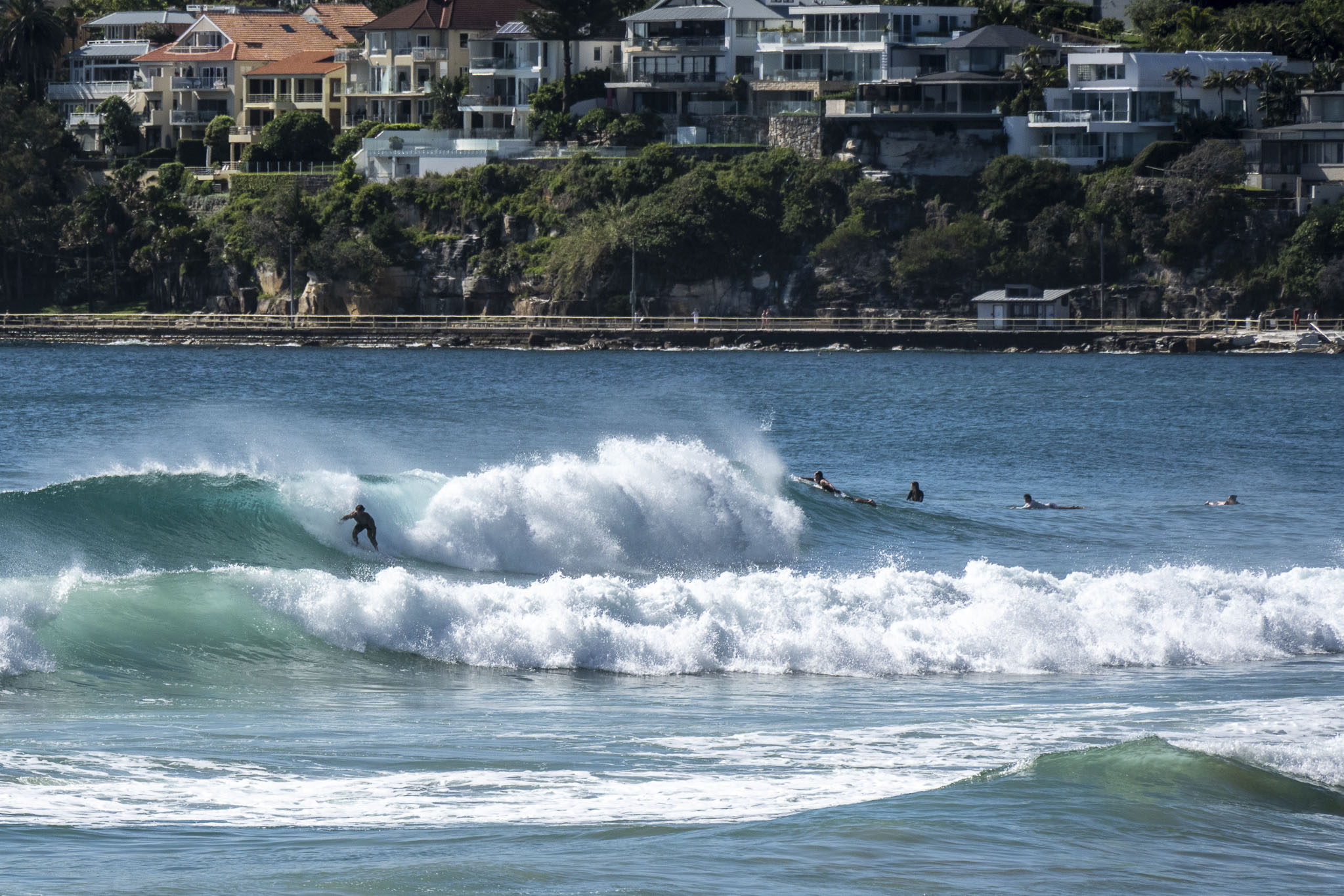
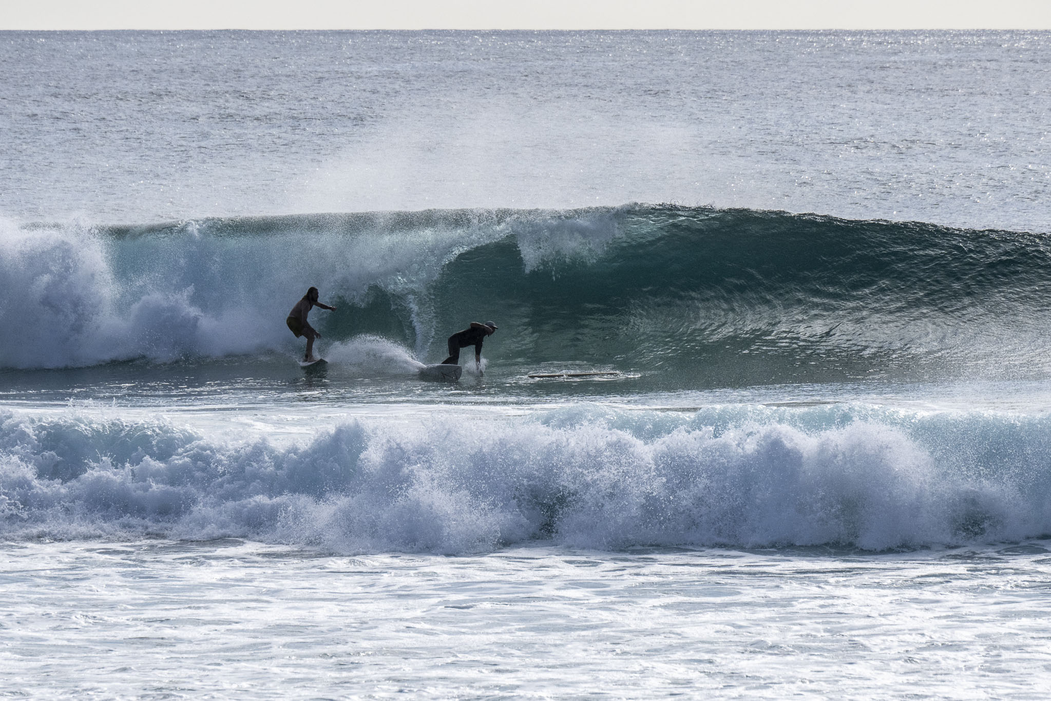
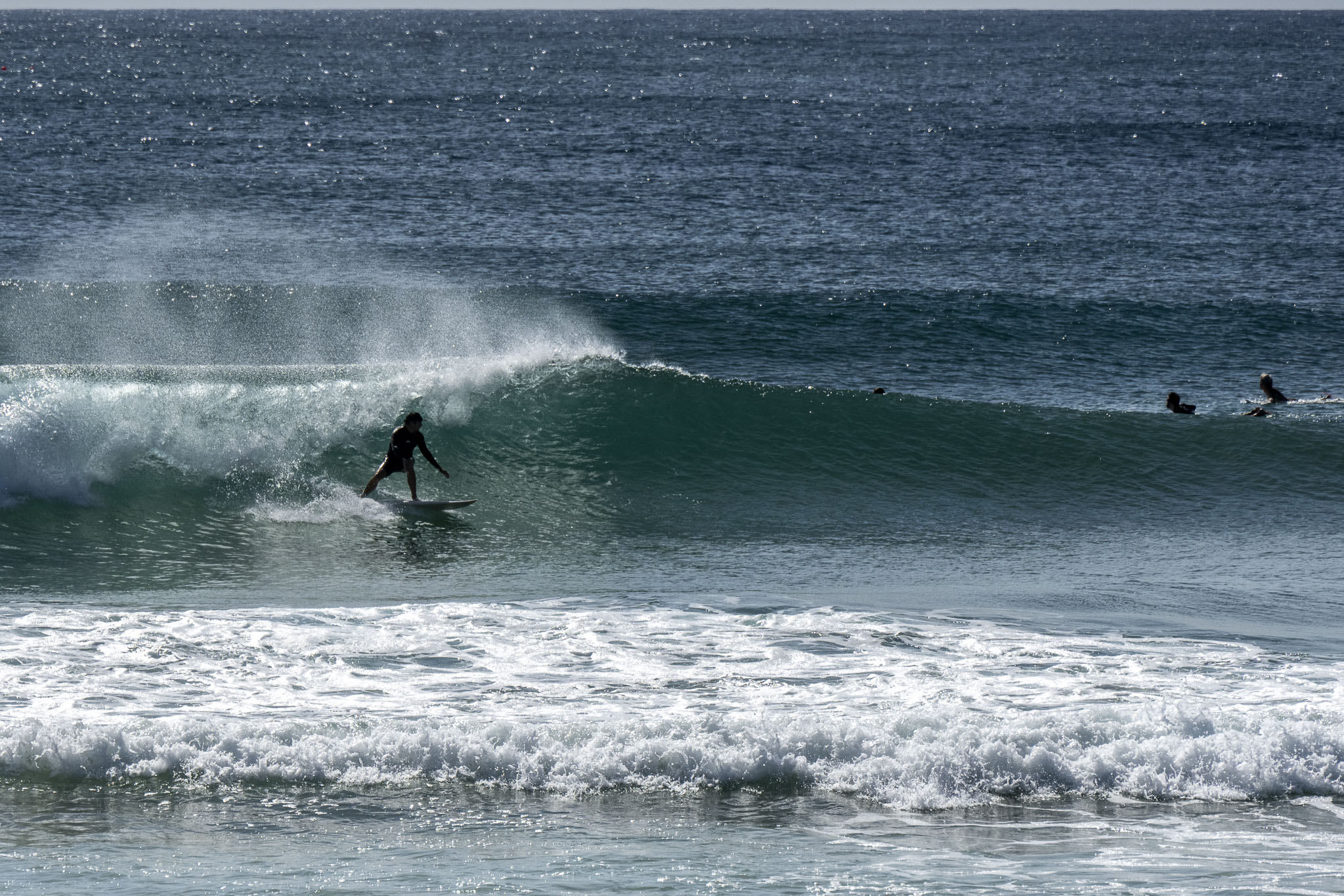
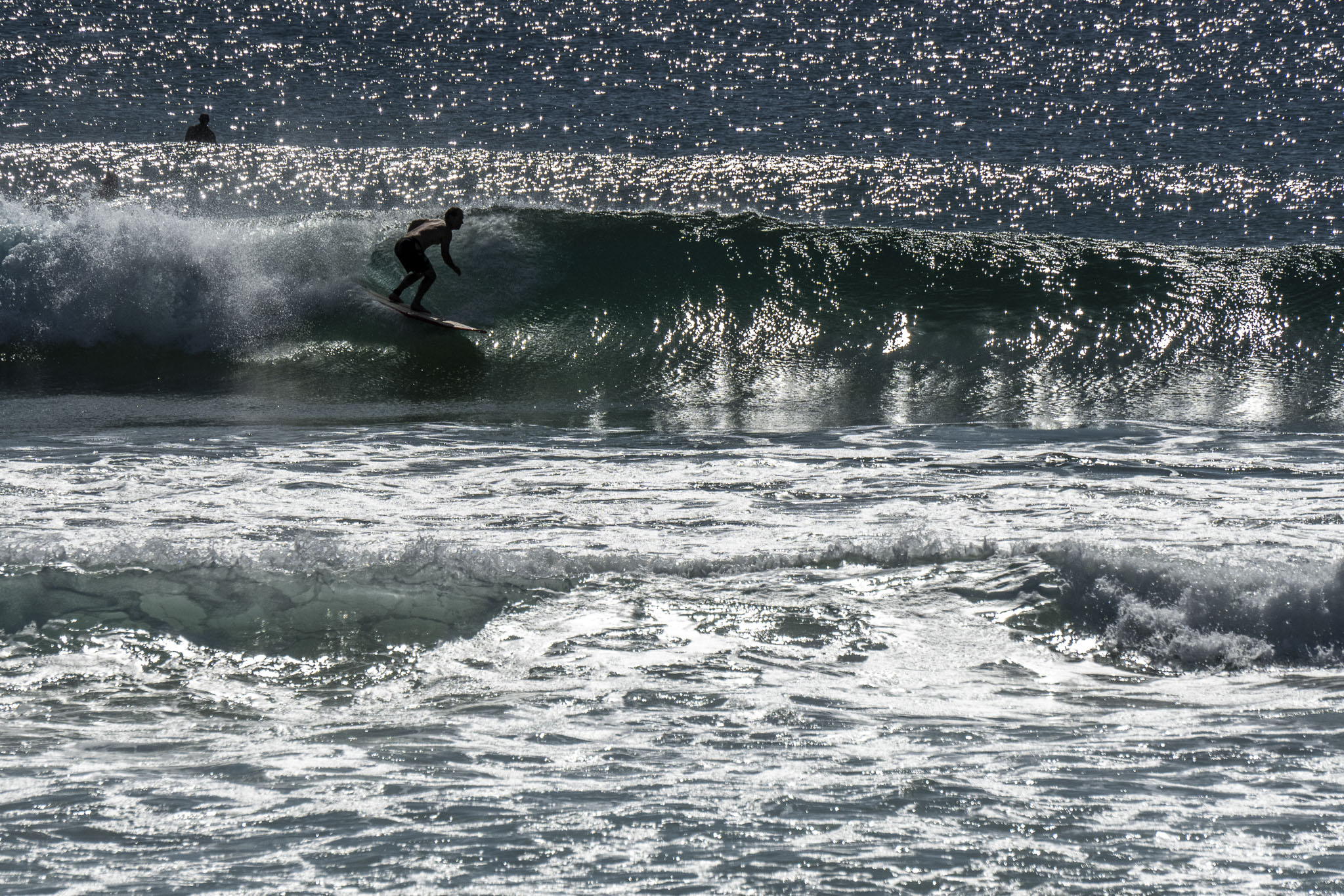
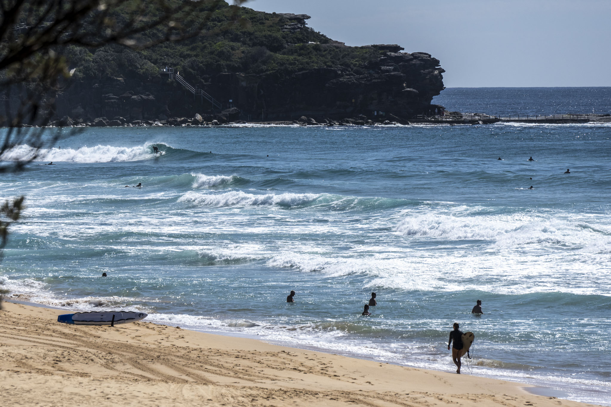
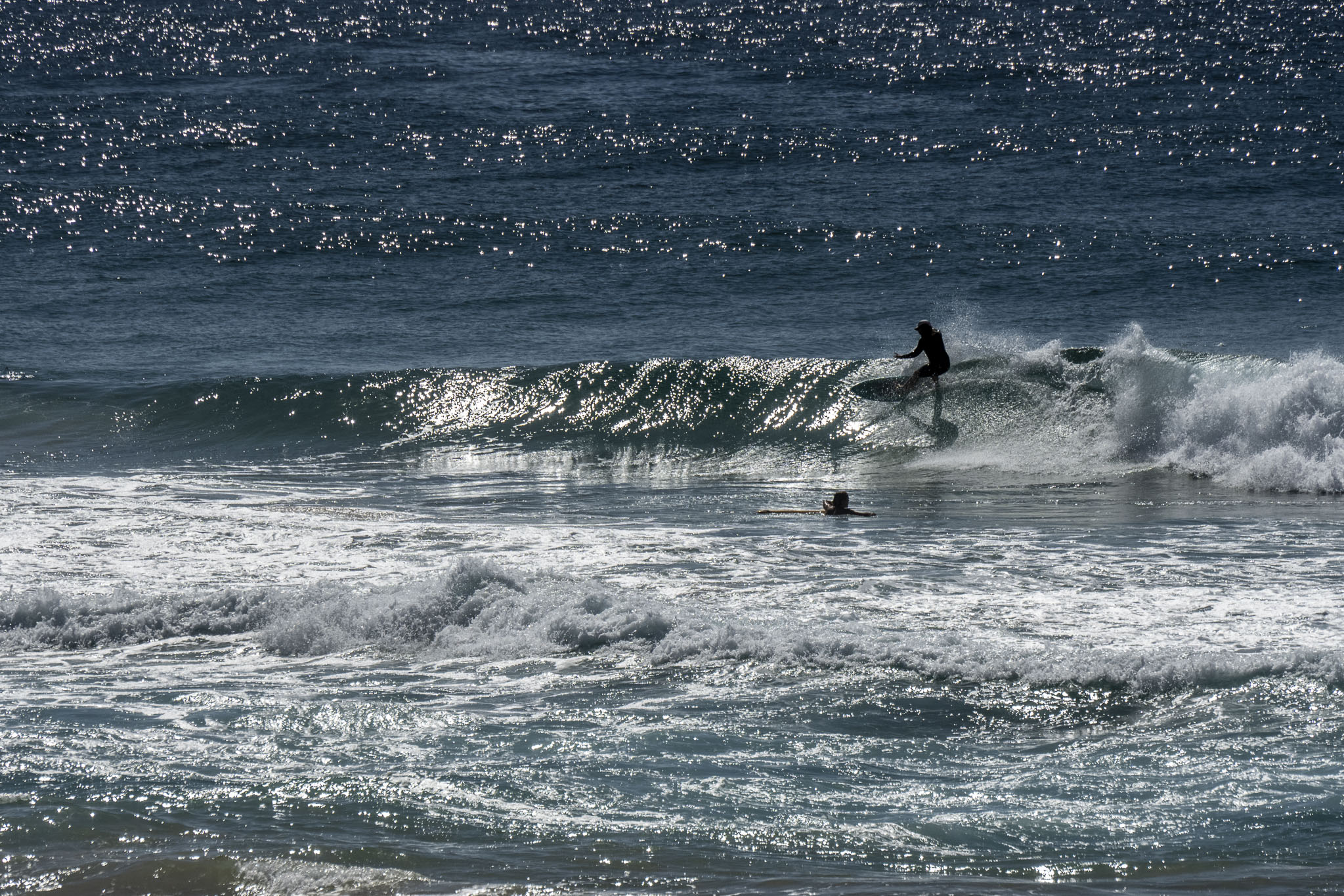
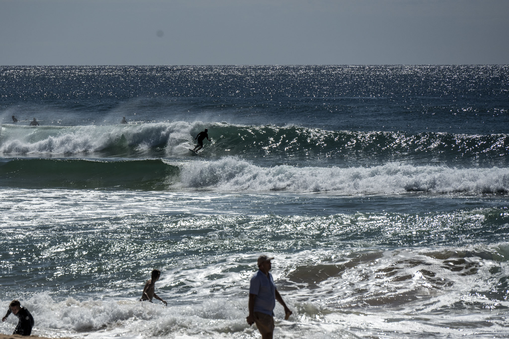
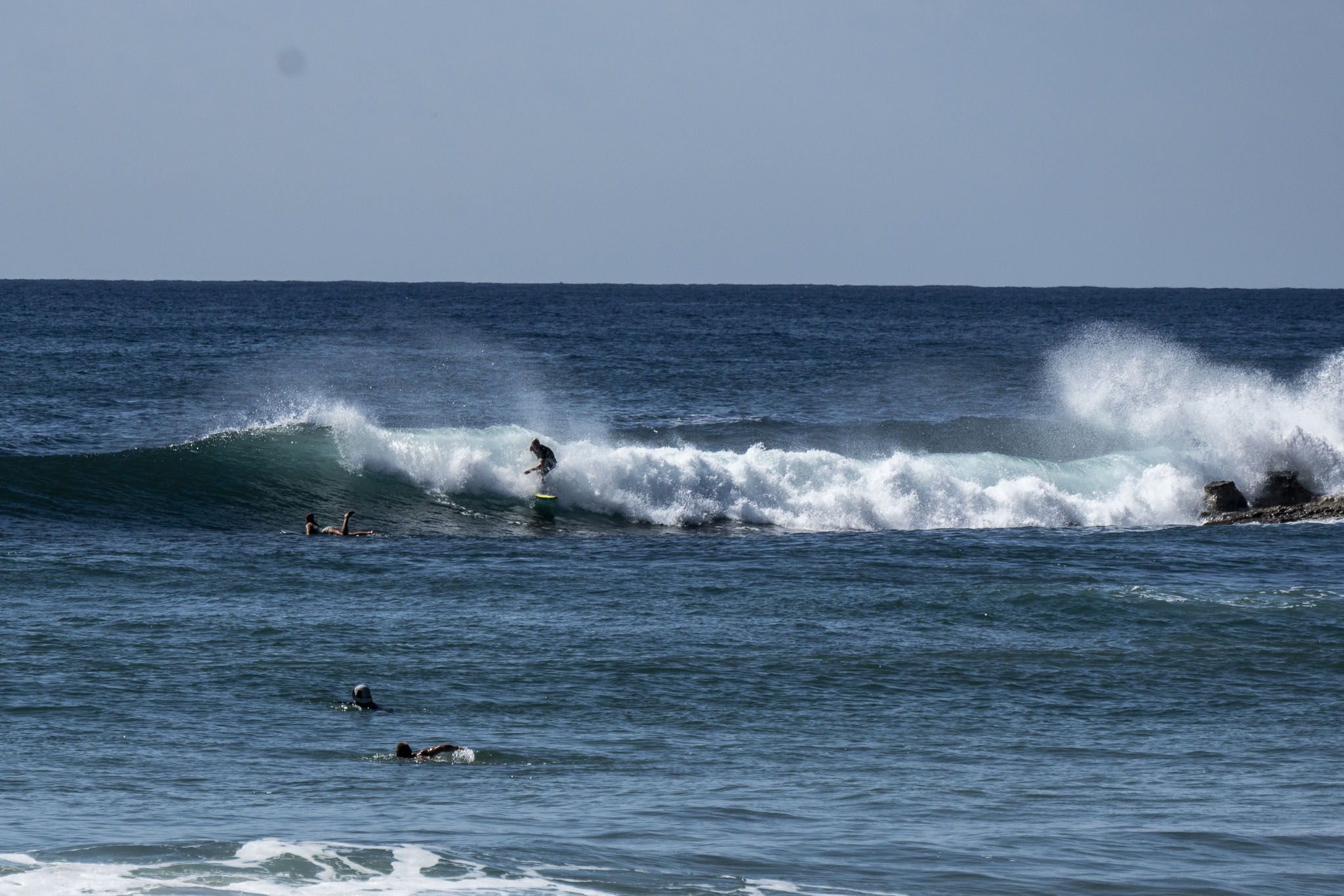
We had mostly sunny skies and a light NW breeze before 0800. Swell was out of the NE at 1.5 metres with periods of 7-10 seconds. Tide was high at 0750 and is now dropping back to the low at 1440. By then the wind is set to be S to SE at 10-13 kts. Sets looked to be in the waist to maybe chest high range on the very biggest ones. Given the swell direction, there should be any number of opportunities to pick up the odd little runner. Water is 23 according to Beachwatch, and today should see a high along the beaches of 31.
Have a good one!
Weather Situation
A cold front associated with a low near Tasmania will bring a westerly change to southern waters today, extending to the north on Saturday as a southwest to southerly change. Winds are expected to ease later on the weekend as a new high pressure system becomes dominant in the region.
Forecast for Friday until midnight
- Winds
- Westerly 10 to 15 knots shifting east to southeasterly in the middle of the day then tending south to southeasterly in the late evening.
- Seas
- 1 to 1.5 metres, decreasing below 1 metre during the morning.
- Swell
- Easterly around 1 metre, tending northeasterly 1 to 1.5 metres during the morning, then tending east to northeasterly around 1 metre during the afternoon.
- Weather
- Sunny.
Saturday 4 February
- Winds
- Southerly 10 to 15 knots turning westerly 15 to 20 knots early in the morning.
- Seas
- Around 1 metre, increasing to 1 to 1.5 metres during the morning, then decreasing below 1 metre during the afternoon.
- 1st Swell
- Southerly around 1 metre.
- 2nd Swell
- Easterly around 1 metre.
- Weather
- Sunny.
Sunday 5 February
- Winds
- Southwesterly 10 to 15 knots turning southeasterly during the day.
- Seas
- Below 1 metre.
- 1st Swell
- Southerly 1 to 1.5 metres, increasing to 1.5 to 2.5 metres during the morning.
- 2nd Swell
- Easterly around 1 metre.
- Weather
- Partly cloudy.


