Hello Friends,
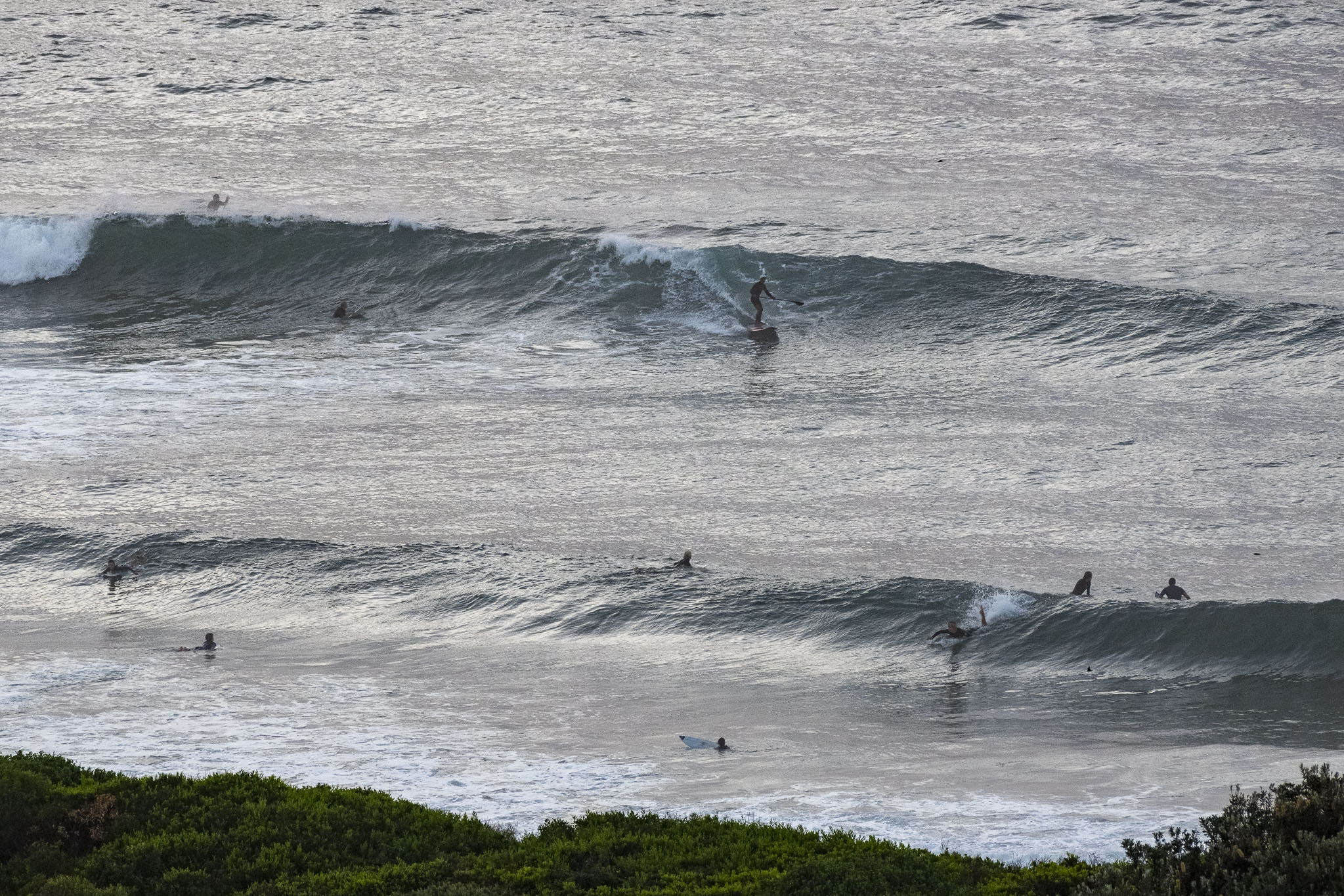
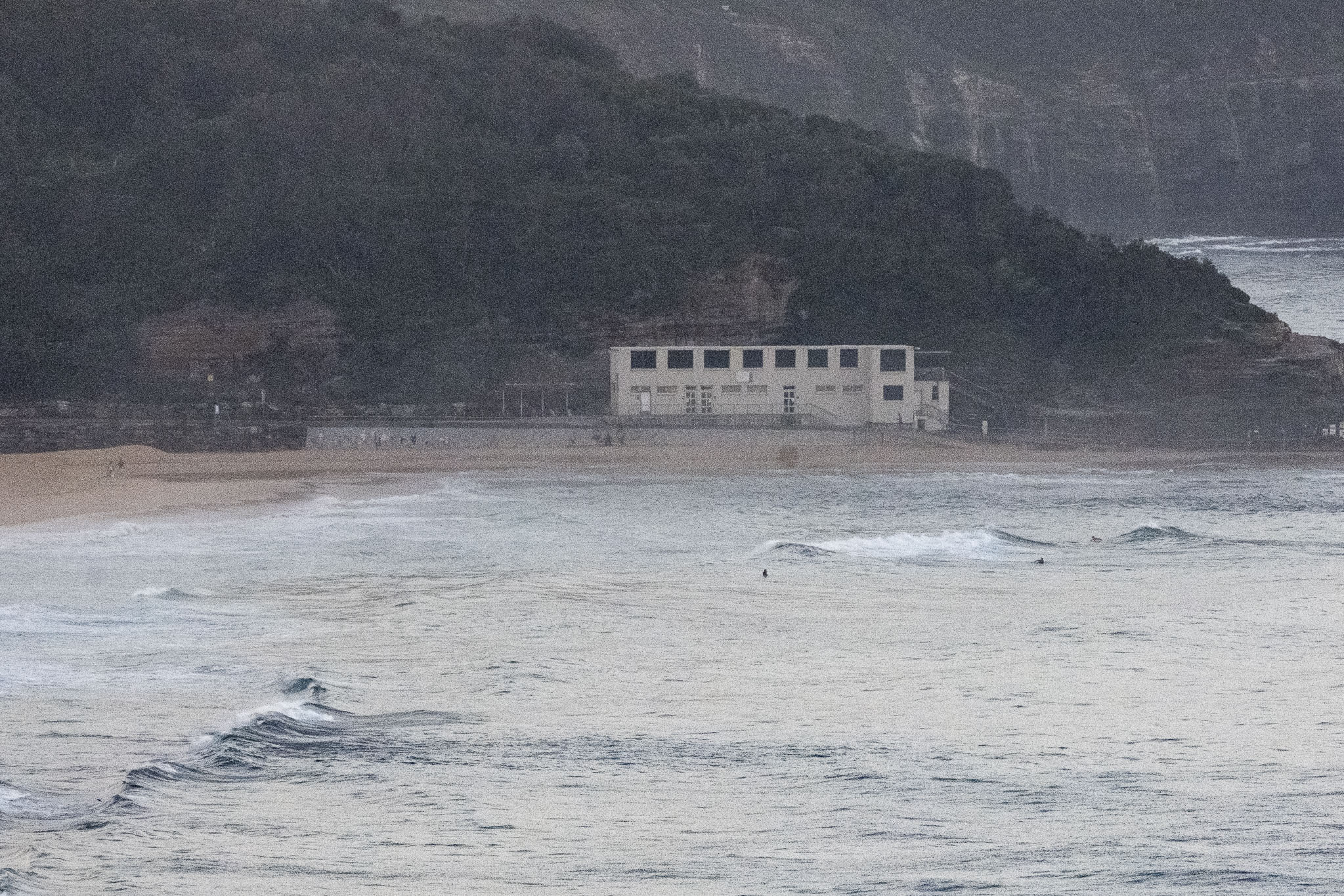
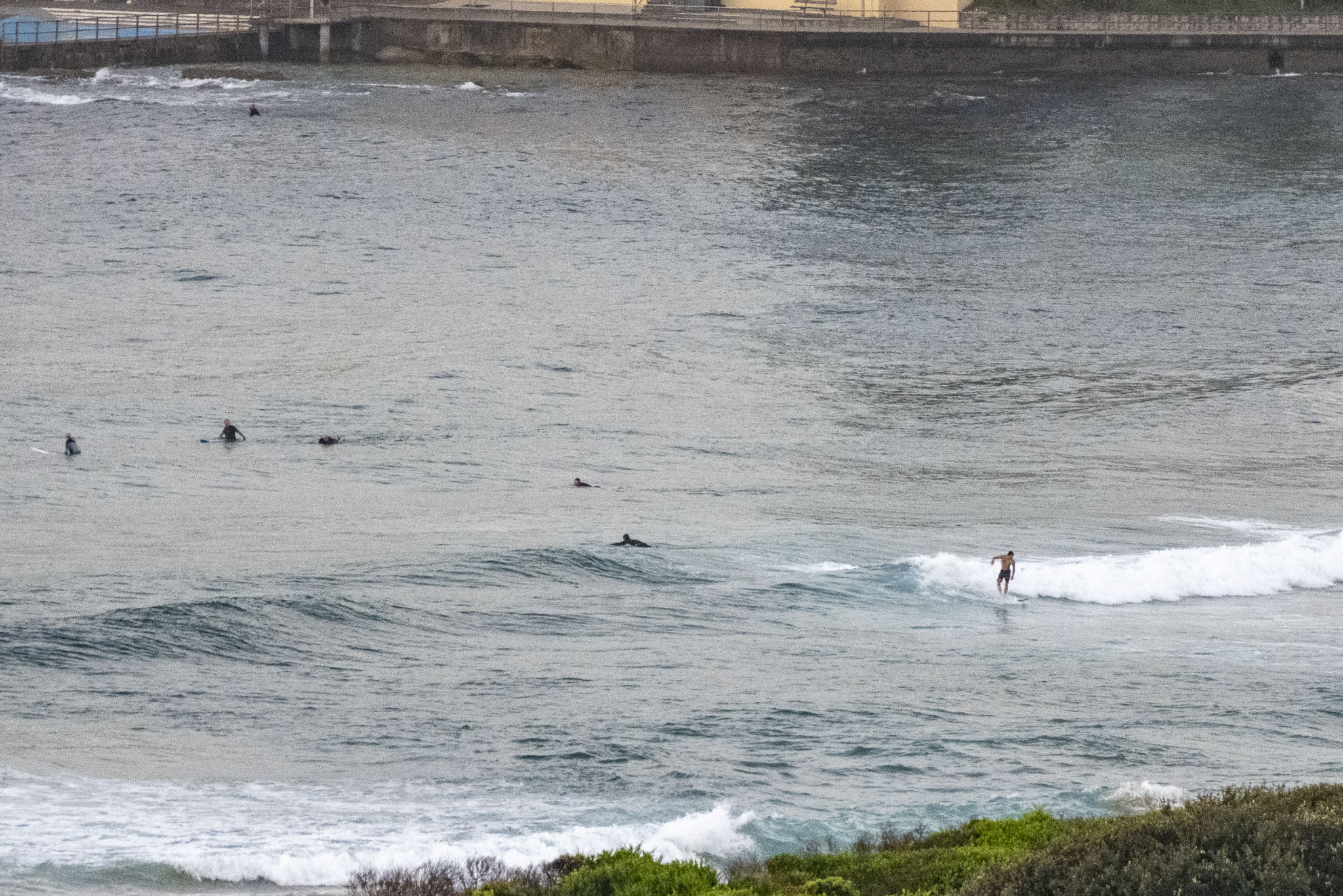
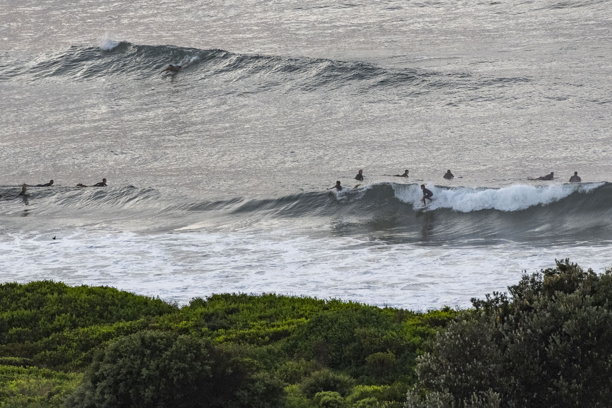
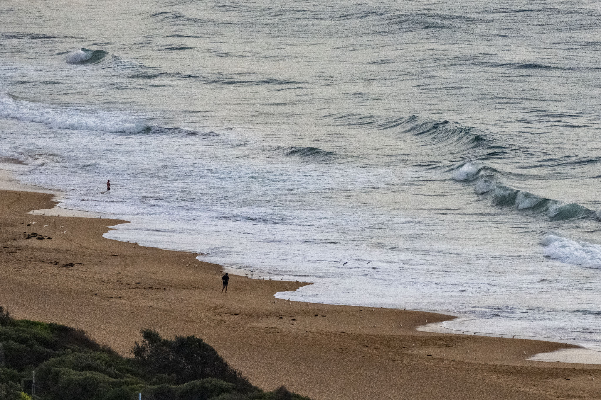
At first light, the NNE breeze was 4-8 kts. During the night hours a small 13-second period, nearly 2m south pulse arrived. Tide was coming off the high at 0610. Unfortunately it started fading pretty quickly and as of 0600 was back to 1.4m. By the time the NE’r is getting up to strength, I’d guess the south sets will be smaller and getting increasingly rare. This morning’s surf forecast models aren’t looking too crash hot either. If the predictions are correct, we’re in for a solid week of short-period wind swell in the metre-ish range along with mostly onshore wind settings. Autumn is off to a quiet start.
Go well everyone!
Weather Situation
A high pressure ridge strengthening across the state. Winds will again become northerly and freshen during the weekend as a high pressure system moves into the Tasman Sea. A strong cold front is expected on Sunday and Monday, bringing another fresh to strong southerly change.
Forecast for Saturday until midnight
- Winds
- North to northeasterly 15 to 20 knots, reaching up to 25 knots offshore in the evening.
- Seas
- Around 1 metre, increasing to 1.5 to 2 metres during the afternoon.
- Swell
- Southerly 2 metres, decreasing to 1.5 metres during the morning, then decreasing to around 1 metre around midday.
- Weather
- Mostly sunny.
Sunday 19 March
- Winds
- North to northeasterly 15 to 20 knots, reaching up to 25 knots offshore during the morning.
- Seas
- 1 to 2 metres, decreasing to 1 to 1.5 metres around midday.
- Swell
- Southerly below 1 metre.
- Weather
- Mostly sunny.
Monday 20 March
- Winds
- Southeast to southwesterly 15 to 20 knots tending southerly 20 to 30 knots during the morning then tending southeasterly 15 to 25 knots during the evening.
- Seas
- 1 to 1.5 metres, increasing to 1.5 to 2 metres during the morning.
- Swell
- Southerly around 1 metre, increasing to 1.5 metres during the evening.
- Weather
- Partly cloudy.


