Hello Friends,
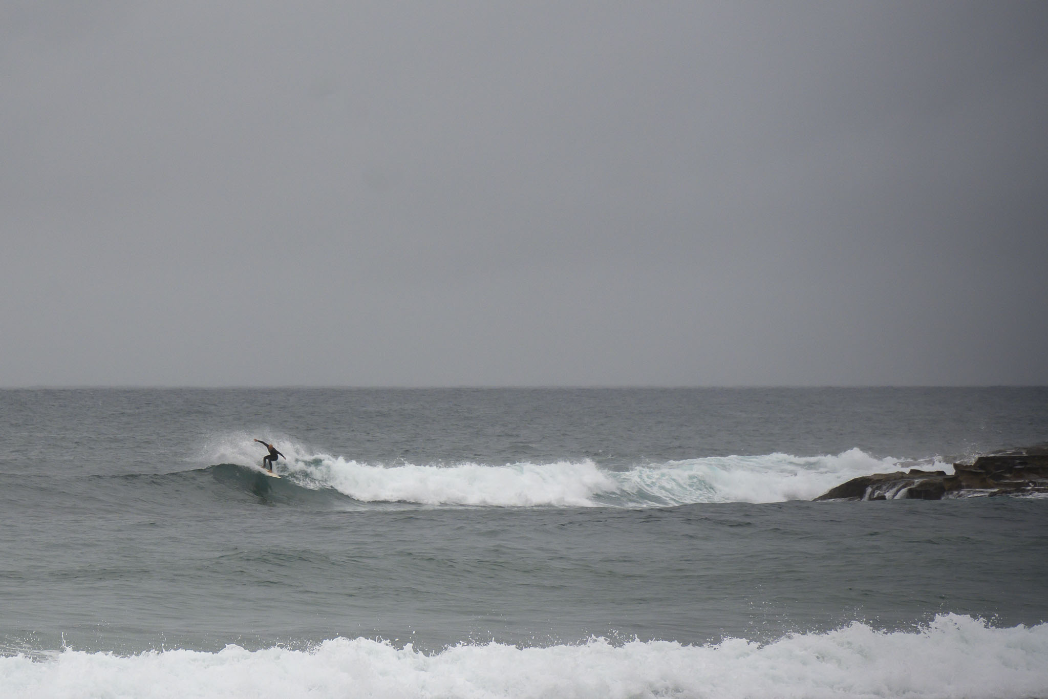
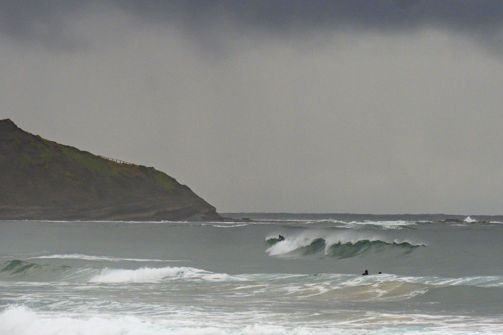
A gloomy morning was keeping most of us out of the water, but for the keen types, there were actually a few waves to be found at various open stretches, including Dee Why. Swell at sea was 1.3 metres from the SE at 10 seconds apart. This was translating into very inconsistent but glassy sets into the chest-high range. Wind was out of the NNW at 6-9 kts as of 0830, however the forecast is calling for NE 10-15kts later, so your surf options will move to the north corners. Tide is coming into the 1.4 m high and will be back to low at 1525.
From the look of the forecasts, we can count on more of the same, more or less, through into the weekend. So, that’s not a bad thing. The weather looks sorta uninteresting with more showers into Thursday and then a sunny day on Friday, potentially.
Go well!
Weather Situation
A high pressure system over the southern Tasman Sea extends a ridge across the New South Wales coast, directing onshore east to northeasterly winds. Winds will become north to northeast and strengthen along southern coastal waters during the midweek as a cold front approaches from the west. The front looks set to cross the New South Wales coast between late Thursday and early Friday, and winds will turn west to southwesterly in the wake.
Forecast for Tuesday until midnight
- Winds
- Northeasterly 10 to 15 knots.
- Seas
- Below 1 metre.
- Swell
- Southeasterly 1.5 metres.
- Weather
- Partly cloudy.
Wednesday 7 June
- Winds
- Northeasterly 15 to 20 knots.
- Seas
- Around 1 metre, increasing to 1 to 1.5 metres by early evening.
- Swell
- Southeasterly 1.5 metres.
- Weather
- Partly cloudy.
Thursday 8 June
- Winds
- Northerly 15 to 25 knots tending northwesterly during the evening.
- Seas
- 1 to 1.5 metres, increasing to 1.5 to 2 metres offshore.
- Swell
- Southeasterly 1 to 1.5 metres, tending easterly around 1 metre during the afternoon.
- Weather
- Becoming cloudy. 80% chance of showers.


