
Hello Friends,
Just back from a more comprehensive look at conditions.
Dee Why looked great this morning when I posted this originally, unfortunately a key ingredient was missing. See if you can spot it below…

…that’s right… no waves to speak of…
After my morning drop-the-teacher-off run along the beaches, I took my time wandering back to RealSurf HQ.
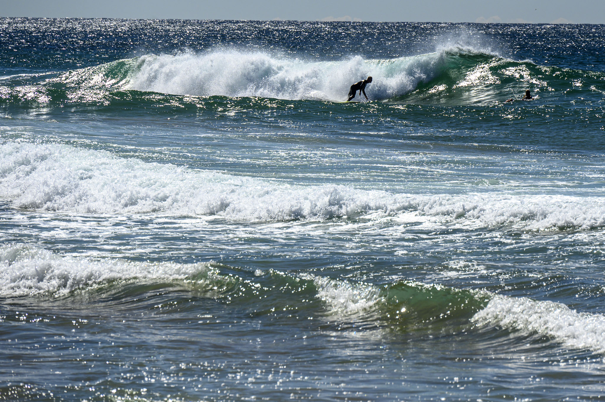
Manly looked very attractive with a light offshore and sparkling sunny skies. Alas the sole peak up toward Queensie was ultra-mobbed by a fleet of mal riders, all trying to snag one of the rare soft looking waist high set waves.
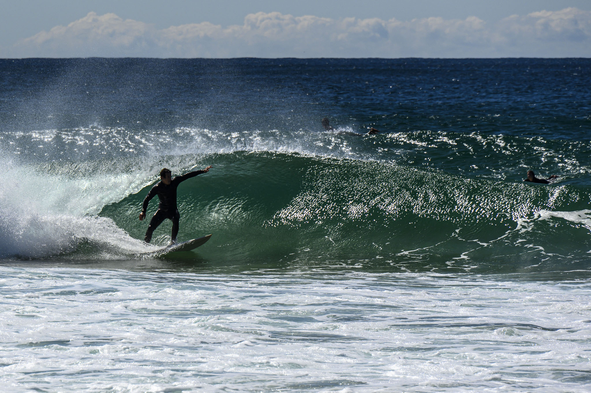
Curly, as expected, was picking up more swell. The south end had a few but the northern stretch was keeping a fair sized crowd entertained with the shoulder high take off. However, even the best waves were ending pretty quickly in an unmakeable shutdown.


Seeing how the north ends were picking up the swell, I decided to call in at North Narrabeen for a look-see. There were about 25 people in the water chasing lefts (the alley right was sort of showing, but I saw very few caught). It wasn’t a patch on last week’s super session unfortunately. Most of the lefts only stood up for a short distance, but every now and then someone would get something with a bit of a corner, as the old-timers would say.

At 0900 the MHL buoy was detecting 1.9 metres of 8.7 second dead south swell plus a small 10-sec NE energy. Tide was high at 0820, and will be back to low at 1420. Weather should be sunny and 23 with the wind playing nice pretty much all day. Water’s still 18.
And the week ahead? Well, the Goat’s gotcha covered!
Go well!
Weather Situation
A strong cold front moves through the northern parts of the state and contracts offshore during the morning. A strong, cool and mostly dry southwesterly conditions over most parts of the state apart from the gusty northerlies ahead of the front over the far northeast this morning. Conditions are forecast to gradually ease this morning as a new ridge of high pressure is forecast to extend across from the west today. A second weaker front is forecast to pass over Victoria on Saturday.
Forecast for Friday until midnight
- Winds
- Southwesterly 15 to 20 knots, reaching 20 to 25 knots offshore during the morning. Winds becoming variable about 10 knots in the early afternoon then becoming northwest to northeasterly 10 to 15 knots in the late evening.
- Seas
- 1.5 to 2.5 metres, decreasing to 1 metre around midday.
- 1st Swell
- Southerly around 1 metre, increasing to 1.5 to 2.5 metres during the morning.
- 2nd Swell
- Northeasterly 1 to 1.5 metres, decreasing to around 1 metre during the morning.
- Weather
- Sunny.
Saturday 14 October
- Winds
- West to northwesterly 10 to 15 knots tending north to northwesterly 15 to 20 knots in the middle of the day then turning west to southwesterly in the evening. Winds reaching 20 to 25 knots offshore in the late evening.
- Seas
- Around 1 metre.
- Swell
- Southerly 1.5 to 2 metres, decreasing to 1.5 metres during the morning.
- Weather
- Sunny.
Sunday 15 October
- Winds
- South to southwesterly 15 to 20 knots becoming variable below 10 knots during the morning then becoming north to northeasterly 15 to 20 knots during the day.
- Seas
- 1 to 1.5 metres, decreasing to 1 metre during the morning.
- Swell
- Southerly 1.5 metres, increasing to 1.5 to 2 metres during the morning.
- Weather
- Mostly sunny.


