Hello Friends,
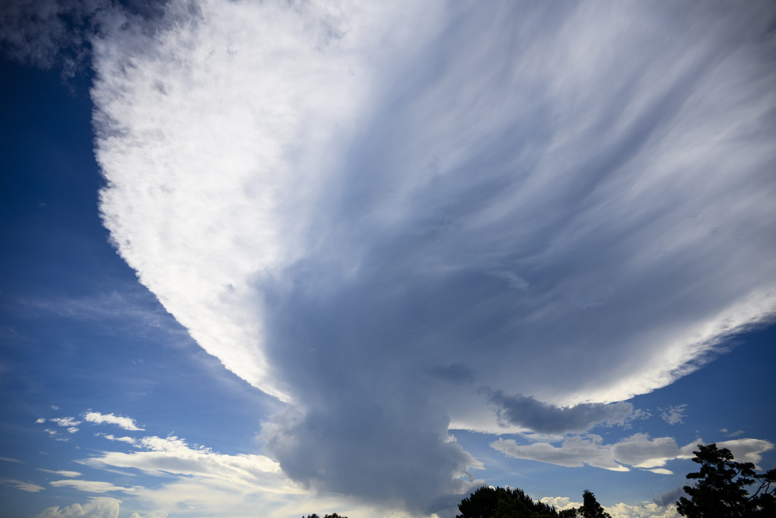
Afternoon update: a spectacular storm cell formed out west and its huge shelf cloud extended all the way to the beaches…
Very low wave energy for Sydney this morning. Swell was 0.66 of a metre at 11 seconds from 154° and wind was light NNW. Weather along the shore is expected to partly cloudy and around 30.
Wondering about the week ahead, then check out the Mighty Goat’s words of wisdom.
Weather Situation
A high pressure ridge will remain the dominant feature for the rest of the week, with winds shifting to the north to northeast.These north to northeast winds will become fresh to strong along southern and central parts of the coastal waters by Friday and Saturday. The next trough is due on Saturday, bringing a gusty southerly change to southern and central parts by late Saturday.
Forecast for Friday until midnight
Strong Wind Warning for Friday for Sydney Coast
- Winds
- North to northeasterly about 10 knots increasing to 15 to 25 knots in the morning. Winds reaching up to 30 knots offshore in the evening.
- Seas
- Below 1 metre, increasing to 1 to 1.5 metres during the morning, then increasing to 1.5 to 2 metres during the afternoon.
- Swell
- Southerly below 1 metre.
- Weather
- Partly cloudy.
Saturday 9 December
Strong Wind Warning for Saturday for Sydney Coast
- Winds
- Northerly 20 to 30 knots decreasing to 15 to 25 knots before dawn then tending north to northeasterly 20 to 30 knots in the early afternoon.
- Seas
- 1 to 1.5 metres, increasing to 1.5 to 2.5 metres offshore.
- Swell
- Southerly below 1 metre.
- Weather
- Sunny.
Sunday 10 December
- Winds
- Southerly 20 to 30 knots shifting northeasterly 10 to 15 knots during the day.
- Seas
- 1.5 to 2.5 metres, decreasing to 1 to 1.5 metres during the morning.
- Swell
- South to southwesterly around 1 metre inshore, increasing to 1 to 1.5 metres offshore during the morning.
- Weather
- Cloudy.

