Hello Friends,
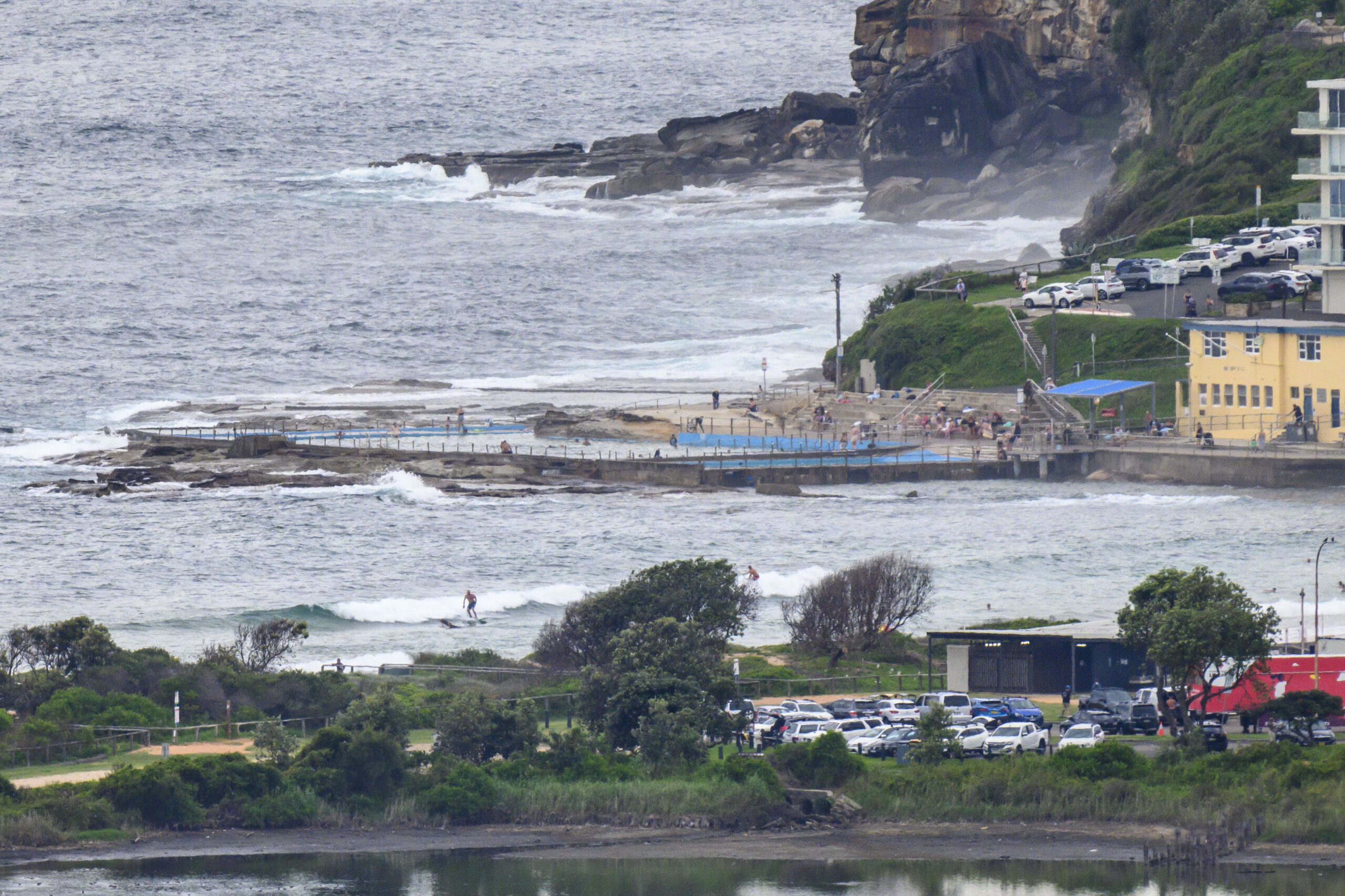
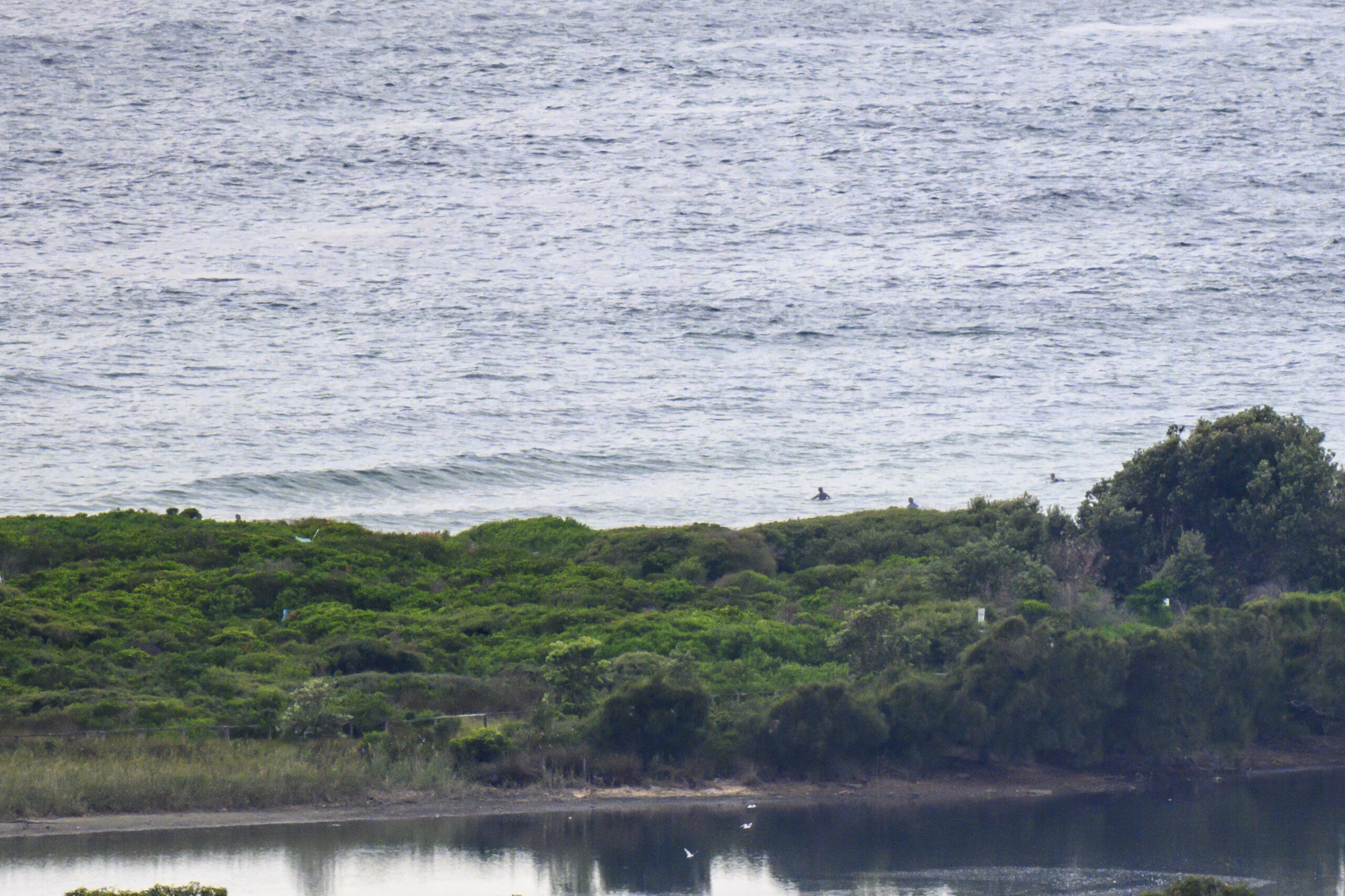
We’re looking at a high of 34 along the coast today, and 35 tomorrow. While surf conditions should make lifesavers’ jobs less stressful today, we surfers have to contend with marginal wave riding opportunities. At 0700 the MHL buoy was seeing 1.3 metres of 11+ second NE swell. A couple hours later when I got around to taking the snaps, Dee Why looked to be in the knee to thigh-high range. Wind was coming lightly from the NW under mostly cloudy skies and the tide was just hitting the 0900 1.8 m high. The outlook is for the wind to come up in the usual way later, but the swell isn’t going to improve. And, right now it would seem tomorrow will hotter and the surf conditions will be just as marginal in the morning and in the afternoon a southerly buster should sweep away the heat, but not deliver much if anything in the way of surf. I wonder what the Goat will think of the coming week’s prospects… check back later to see…
Stay cool, stay well and keep on smilin’!
Weather Situation
A high-pressure system over the Tasman Sea is directing a northerly airflow over the state. A weak trough moving along the south coast has stalled around central part of the coast today. A stronger southerly change is expected to move along southern and central parts of the coast later today and Friday, then along the north coast Saturday. Meanwhile Tropical Cyclone Kirrily offshore from the Queensland coast is expected to the coast late today near Townsville before transitioning to an inland depression later Friday. There is a great deal of uncertainty about the movement of this system from the weekend onwards but at this stage it’s considered most likely that the system will move slowly further west over western Queensland.
Forecast for Thursday until midnight
- Winds
- Variable about 10 knots, reaching up to 20 knots offshore during the morning and again in the late evening.
- Seas
- 1 to 1.5 metres, decreasing to 1 metre during the morning.
- Swell
- Northeasterly below 1 metre inshore, increasing to 1 to 1.5 metres offshore during the morning.
- Weather
- Partly cloudy. The chance of a thunderstorm during this afternoon and evening.
Friday 26 January
Strong Wind Warning for Friday for Sydney Coast
- Winds
- Northwest to northeasterly 15 to 20 knots tending northwesterly in the morning then shifting southeasterly 15 to 25 knots in the early afternoon. Winds reaching up to 30 knots inshore in the early afternoon.
- Seas
- 1 to 1.5 metres.
- Swell
- Northeasterly 1 to 1.5 metres, increasing to 1.5 to 2 metres during the morning.
- Weather
- Partly cloudy. The chance of a thunderstorm in the late afternoon and evening.
Saturday 27 January
- Winds
- Southeasterly 15 to 20 knots turning east to northeasterly 10 to 15 knots during the afternoon.
- Seas
- 1 to 1.5 metres, decreasing to 1 metre during the morning.
- 1st Swell
- Southerly around 1 metre, increasing to 1.5 metres during the morning.
- 2nd Swell
- Northeasterly 1 to 1.5 metres, decreasing below 1 metre during the morning.
- Weather
- Cloudy.


