Hello Friends,
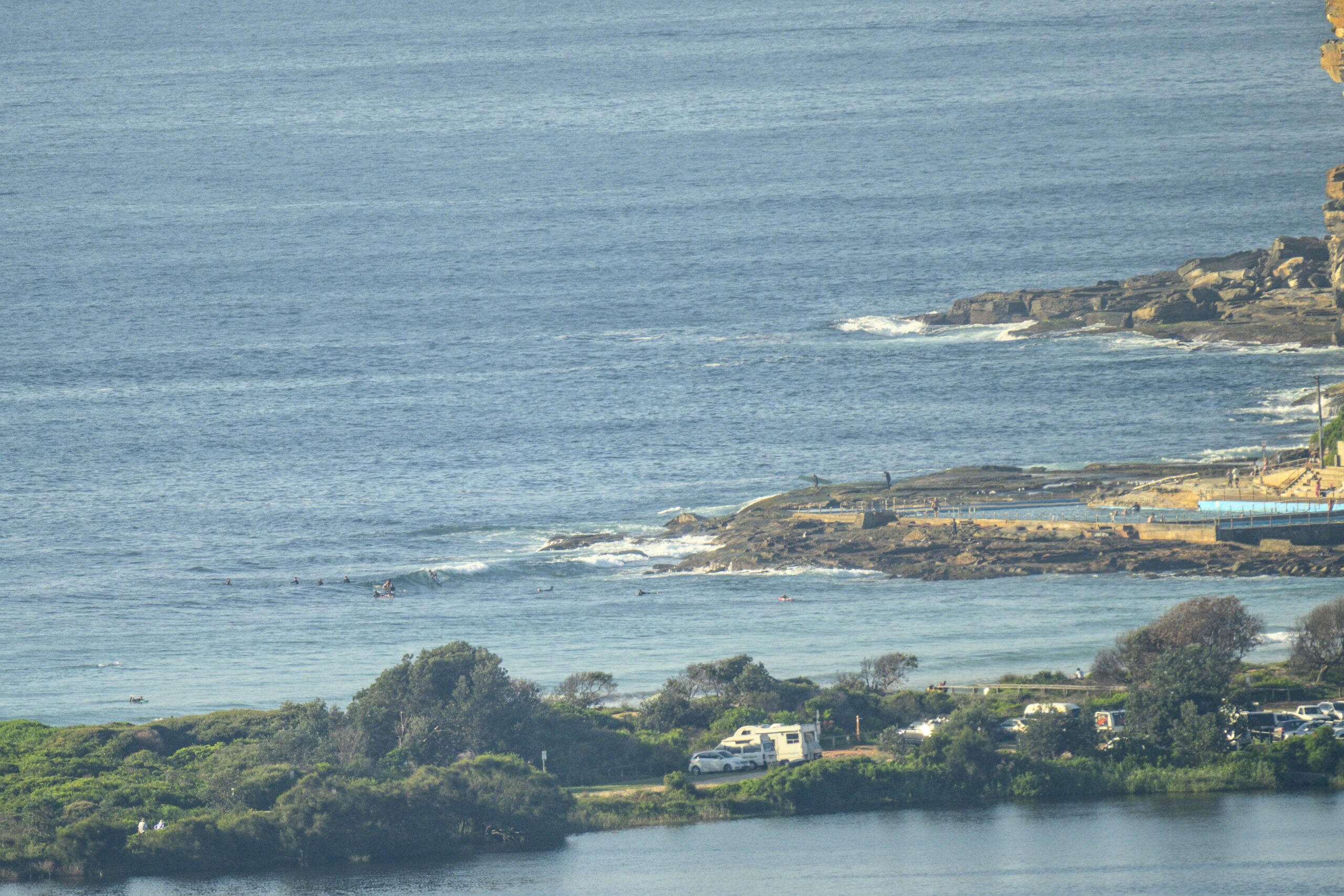
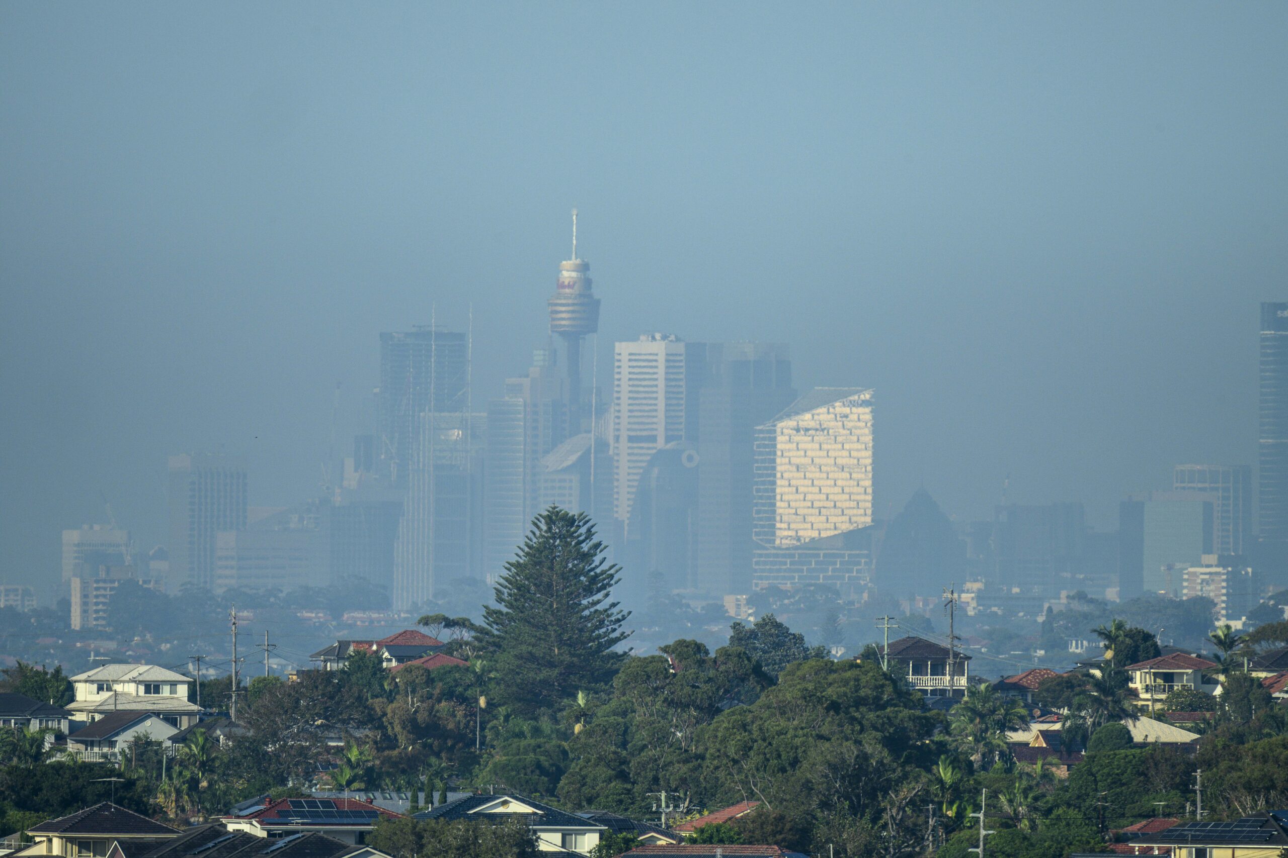
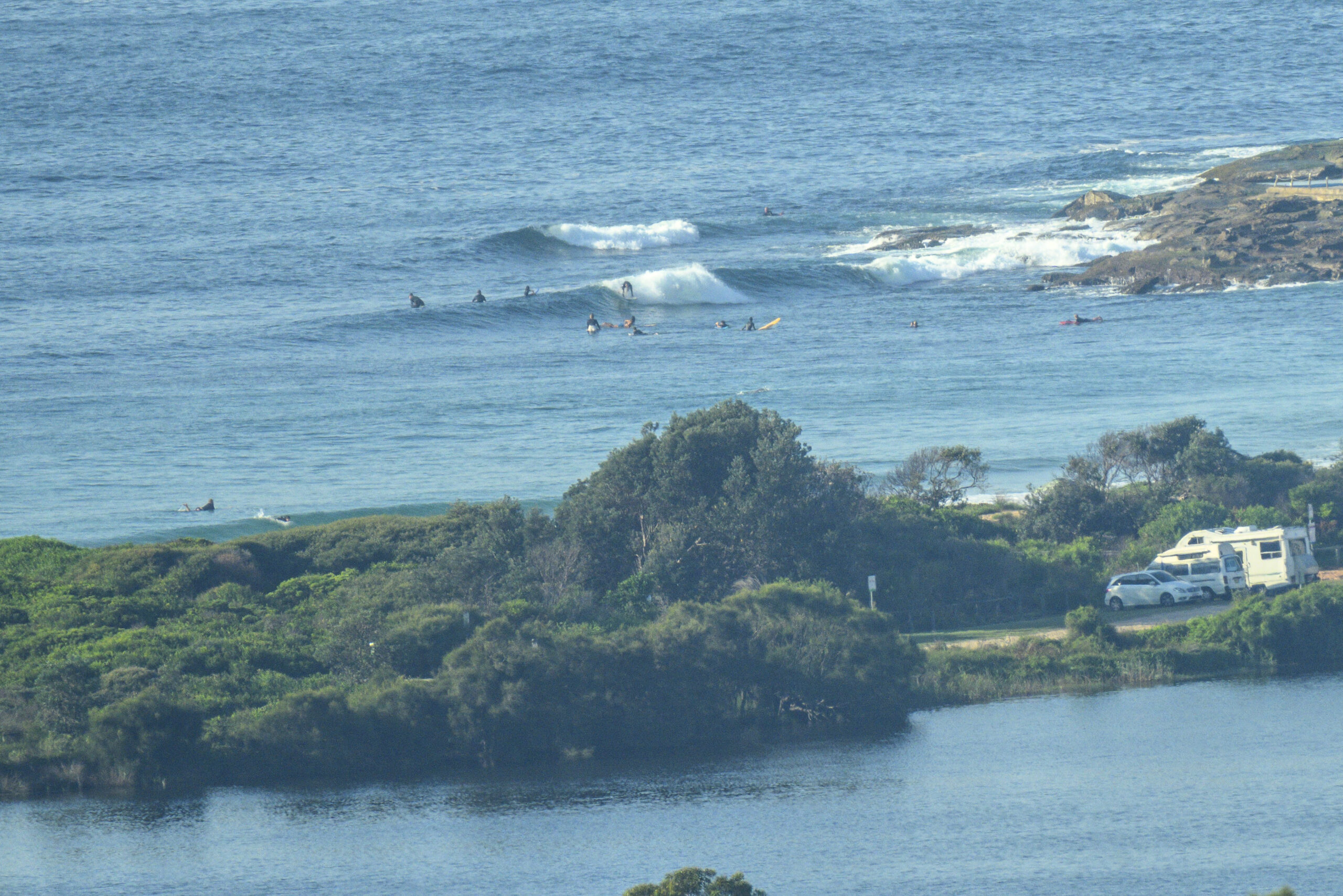
If you found a wave yesterday, I’d go back there for another look as the swell conditions are almost identical again this morning, ie 1.2 metres at 11 seconds from the SSE. That’s delivering more knee to maybe waist high wave faces at the better exposures. Wind shouldn’t be a factor either with the Bureau calling for variable 10 kt breezes all day. Tide was low at 0715 and will be high again at 1310 (tidal swing is only 0.6 m). Apart from the murk over the city, conditions should be mostly sunny with a summery 27 C for the high. Water’s clean and 22.
Have a top old day!
Weather Situation
A high pressure system over the Tasman Sea extends a ridge along the New South Wales coast, directing southeast to northeasterly winds onto the coast. There will be little change to this pattern until early next week, with winds tending more northerly on Monday and freshening in many areas ahead of a cold front. This front is forecast to bring a west to southwesterly change to southern and central parts of the coast during Tuesday, extending north, although weakening, on Wednesday.
Forecast for Sunday until midnight
- Winds
- Variable about 10 knots.
- Seas
- Below 0.5 metres.
- Swell
- Southerly around 1 metre.
- Weather
- Mostly sunny.
Monday 1 April
- Winds
- North to northeasterly about 10 knots increasing to 15 to 20 knots in the morning then becoming northeasterly 20 to 25 knots in the late evening.
- Seas
- Below 1 metre, increasing to 1 to 1.5 metres during the afternoon.
- Swell
- Southerly around 1 metre.
- Weather
- Sunny.
Tuesday 2 April
- Winds
- Northerly 20 to 30 knots turning westerly 15 to 20 knots during the evening.
- Seas
- 1.5 to 2.5 metres, decreasing to 1 to 1.5 metres during the afternoon or evening.
- Swell
- Southerly below 1 metre.
- Weather
- Partly cloudy. 60% chance of showers. The chance of a thunderstorm in the afternoon and evening.