
Hello Friends,
What a morning!
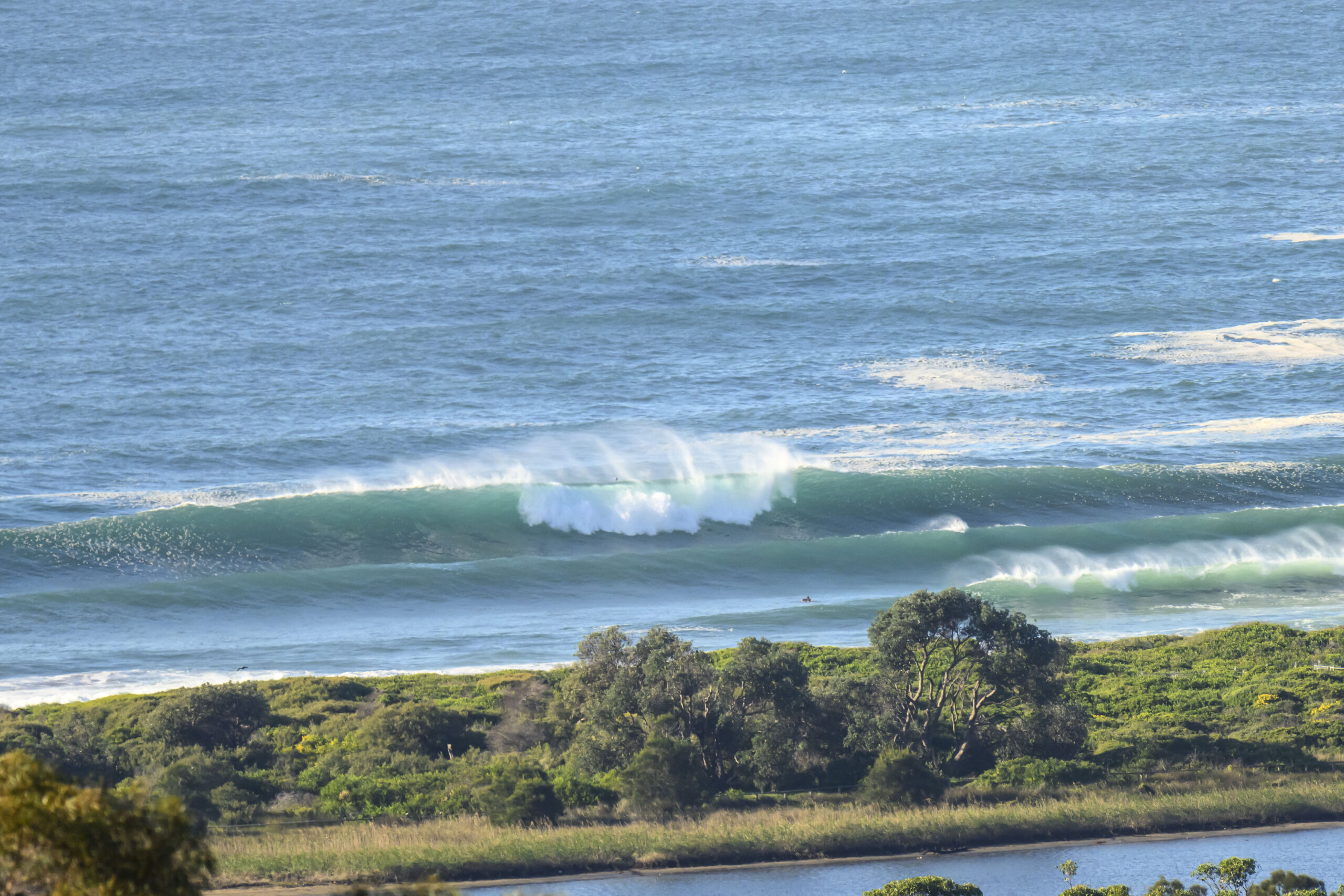
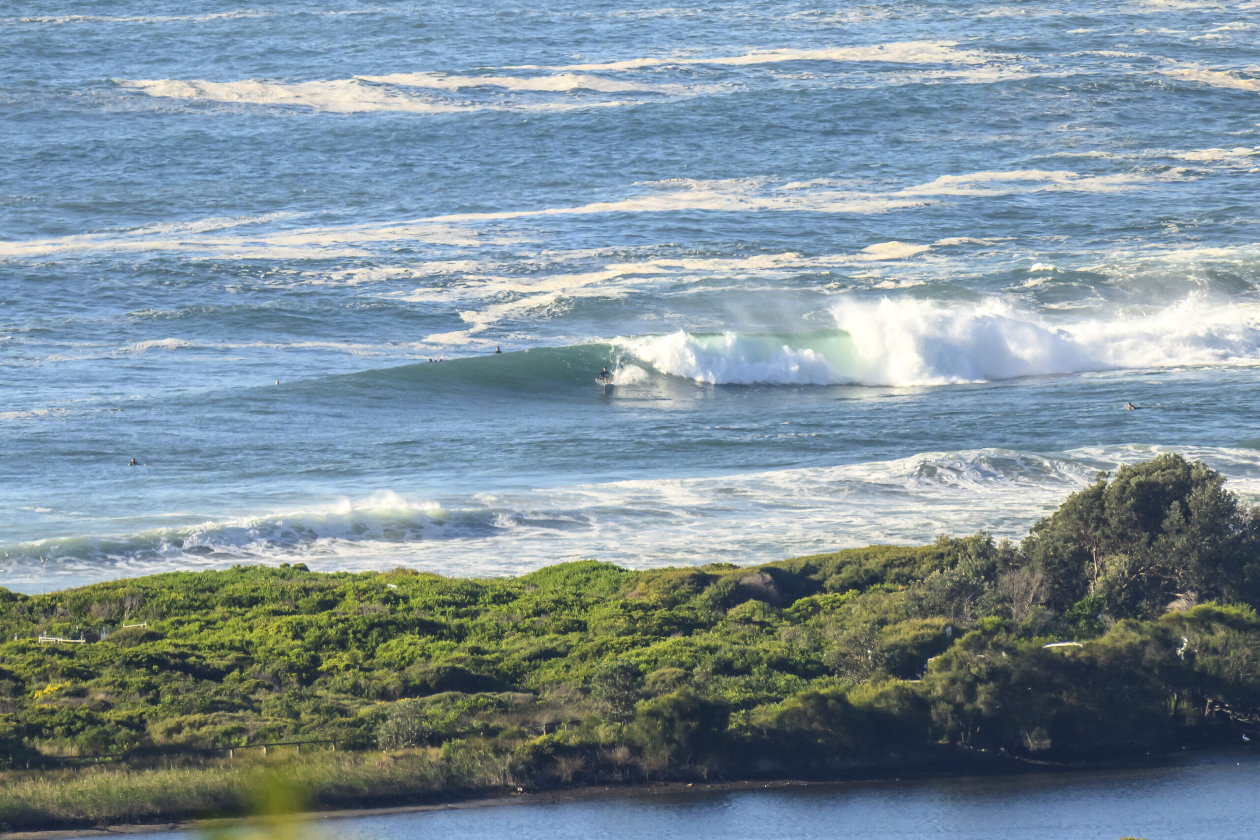
Get out there if you can (but only if you’re an experienced rider). Sets at Dee Why were solidly overhead thanks to a 3 metre, 11 second ESE-SE swell. At 0800, the wind was still coming lightly from the west and tide was coming into the 1105 1.4 m high.
As the pictures above and below indicate, it looks as though there’s an interesting A-frame just up the beach from the club. Under the current conditions it looked like a lot of work, but with potentially a reasonable payoff. The point was looking, shall we say, a bit technical – and well attended as you’d expect,
With these swell settings there should be interesting waves all over the place this morning, but, again, these are not conditions for beginners or even intermediates. Sit and watch for awhile before committing!
Weather Situation
A high pressure system to the south of WA extends a ridge across New South Wales today. The ridge will be slow-moving, remaining in the region for several days. A trough is expected to develop over the inland during the weekend, then move east early in the new week as a cold front passes to the south.
Forecast for Friday until midnight
- Winds
- Southerly 10 to 15 knots becoming easterly below 10 knots in the morning.
- Seas
- Below 1 metre.
- Swell
- Southerly 2.5 to 3 metres, tending southeasterly 2 to 2.5 metres around midday.
- Weather
- Mostly sunny. 50% chance of showers.
Saturday 13 April
- Winds
- Variable below 10 knots.
- Seas
- Below 0.5 metres.
- Swell
- Southeasterly 2 to 3 metres, decreasing to 2 metres later in the evening.
- Weather
- Partly cloudy. 60% chance of showers.
Sunday 14 April
- Winds
- Variable below 10 knots becoming northerly 10 to 15 knots during the evening.
- Seas
- Below 1 metre.
- Swell
- Southeasterly 2 metres, tending southerly 1.5 to 2 metres during the morning.
- Weather
- Mostly sunny. 50% chance of showers.


