Hello Friends,
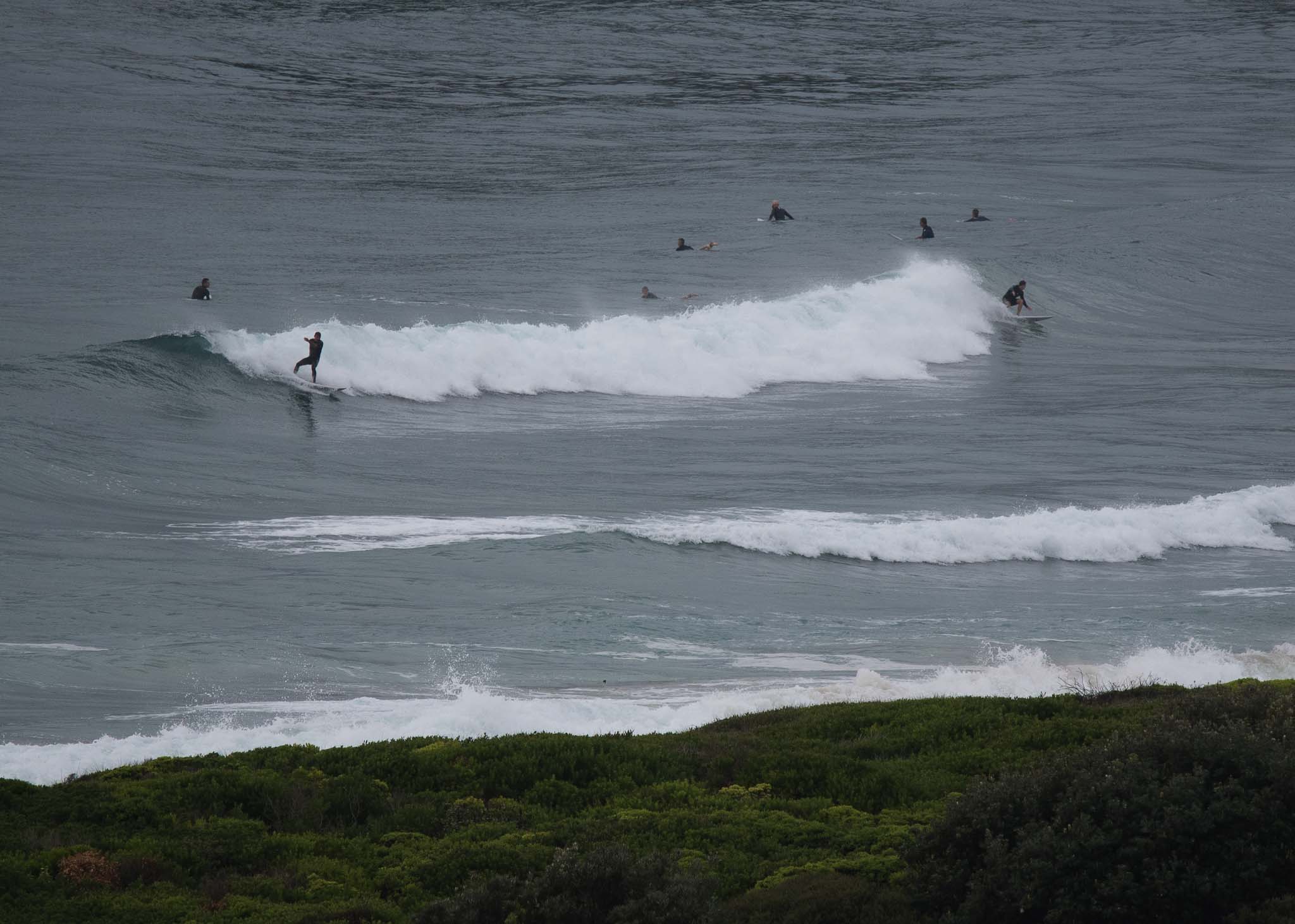
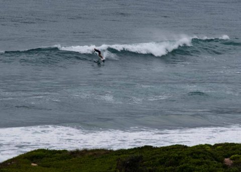
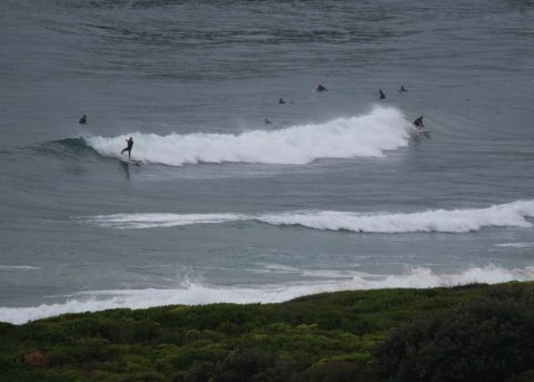
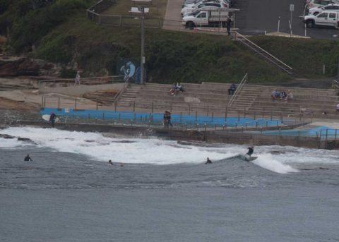
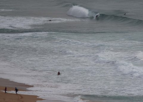
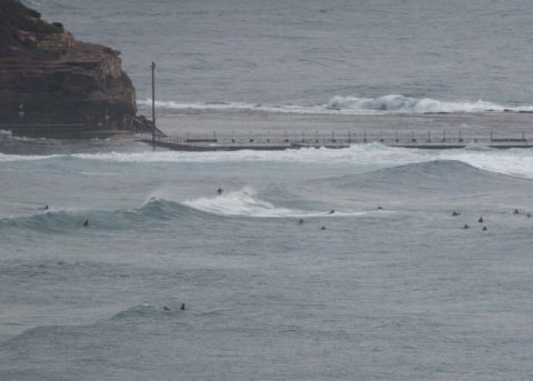
Still not quite in synch with Sydney time, so another late start for you correspondent. Definitely a few small knee to maybe waist plusses at Dee Why and along the Narrabeen stretch. Wind was not a factor as of 0830 although the skies were murky and punctuated by the odd shower. Definitely a more wintry than summery feel to the day.
The MHL buoy was showing 2.3 metres of 10-sec SSE swell at 0700. Tide was coming into the 2 metre high tide at 1030 and the Bureau was forecasting a decreasing energy trend for the waves today. Beachwatch is calling the water 23oC – but everybody seemed to be wearing rubber when I checked.
Outlook is for waves to weaken very gradually over the weekend, but with luck they won’t fade out completely and on the right tides at the right spots, there should still be knee to waist high grovellers.
Have a great day everyone and keep on smilin’!
Weather Situation
A strong and slow moving high pressure system is situated south of the Bight and extends a ridge along the New South Wales coast. At the same time, Ex-Tropical Cyclone Fehi is located over the South Island of New Zealand and is weakening. A persistent southerly airstream is being directed along the coast between the two systems.
Forecast for Friday until midnight
- Winds
- Southerly 10 to 15 knots, reaching up to 20 knots inshore in the early afternoon.
- Seas
- Around 1 metre, increasing to 1 to 1.5 metres inshore during the afternoon.
- 1st Swell
- Southerly 1.5 to 2 metres, decreasing to 1.5 metres by early evening.
- 2nd Swell
- Easterly around 1 metre.
- Weather
- Partly cloudy. 80% chance of showers.
Saturday 3 February
- Winds
- Southerly 10 to 15 knots turning southeasterly early in the morning. Winds reaching up to 20 knots offshore in the evening.
- Seas
- Around 1 metre, increasing to 1 to 1.5 metres offshore during the morning.
- Swell
- Southeasterly 1.5 to 2 metres, tending southerly 1.5 to 2 metres during the morning, then tending southeasterly 1.5 metres around midday.
- Weather
- Cloudy. 80% chance of showers. The chance of a thunderstorm in the afternoon and early evening.
Sunday 4 February
- Winds
- South to southeasterly 10 to 15 knots decreasing to about 10 knots during the morning.
- Seas
- 1 to 1.5 metres, decreasing below 1 metre during the morning.
- 1st Swell
- Southeasterly 1.5 metres, tending southerly around 1 metre during the morning.
- 2nd Swell
- Southeasterly 1 to 1.5 metres, tending easterly around 1 metre during the afternoon.
- Weather
- Partly cloudy. 50% chance of showers.


