Hello Friends,
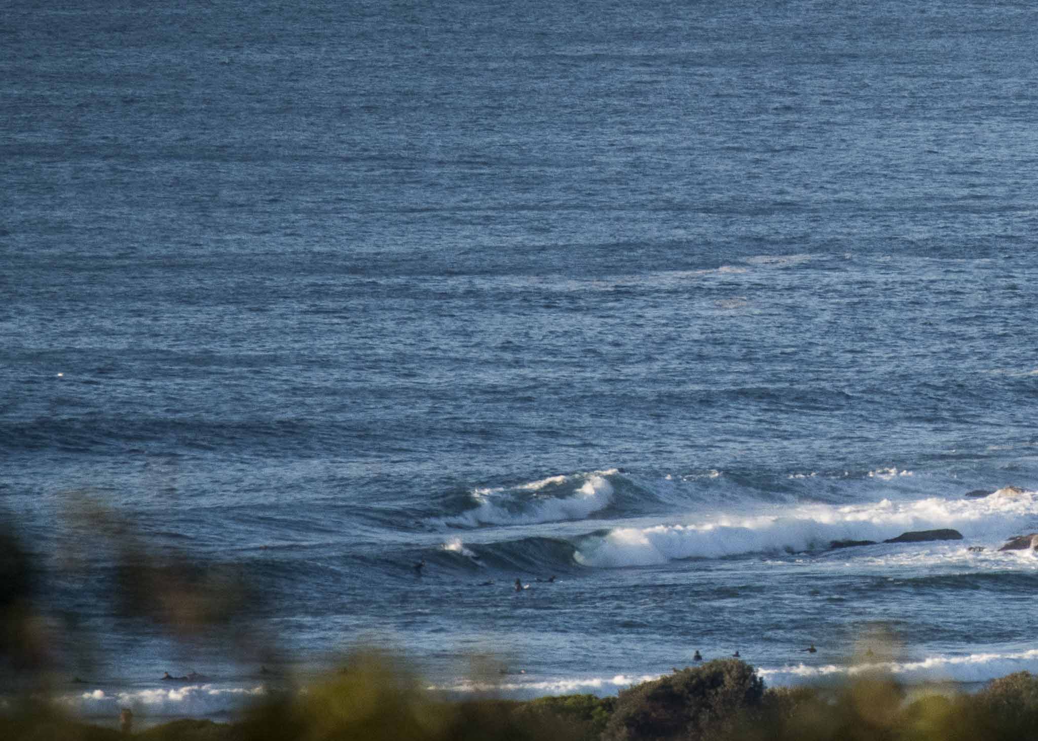
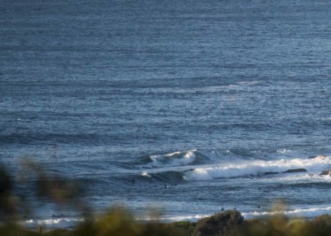
Sunny skies at last and as foretold, we still have swell this morning. The point looks to be in the head plus range on sets and it’s a similar size up the beach. Surface conditions were clean and wind was lightly offshore. The MHL buoy was detecting 1.7 metres of 9.5 sec SSE (162°) as of 0600. The good news is that it should stick around at about that intensity all day. Tide is on the way to a 0.5 low at 0950. It’ll be back to a 1.6m high at 1615.
I sure hope the more optimistic models have it right about the front half of next week just quietly…
Have a great Friday one and get out there if you can!

Weather Situation
A high pressure ridge over New South Wales will remain near stationary for the coming days, directing light to moderate southeast to southwesterly winds along the coast. On Saturday a front will slip to the south, freshening southwesterly winds along the southern half of the coast later on Saturday and Sunday.
Forecast for Friday until midnight
- Winds
- West to southwesterly about 10 knots becoming north to northwesterly in the afternoon.
- Seas
- Below 1 metre.
- Swell
- Southeasterly 1.5 metres.
- Weather
- Partly cloudy.
Saturday 23 June
- Winds
- North to northwesterly 10 to 15 knots shifting southwesterly 15 to 20 knots in the afternoon.
- Seas
- Around 1 metre.
- Swell
- Easterly around 1 metre.
- Weather
- Sunny.
Sunday 24 June
- Winds
- Southwesterly 10 to 15 knots turning southerly during the morning.
- Seas
- Around 1 metre, increasing to 1 to 1.5 metres inshore.
- 1st Swell
- Southerly around 1 metre, increasing to 1.5 to 2.5 metres during the afternoon.
- 2nd Swell
- Easterly around 1 metre.
- Weather
- Partly cloudy. 60% chance of showers.


