Hello Friends,
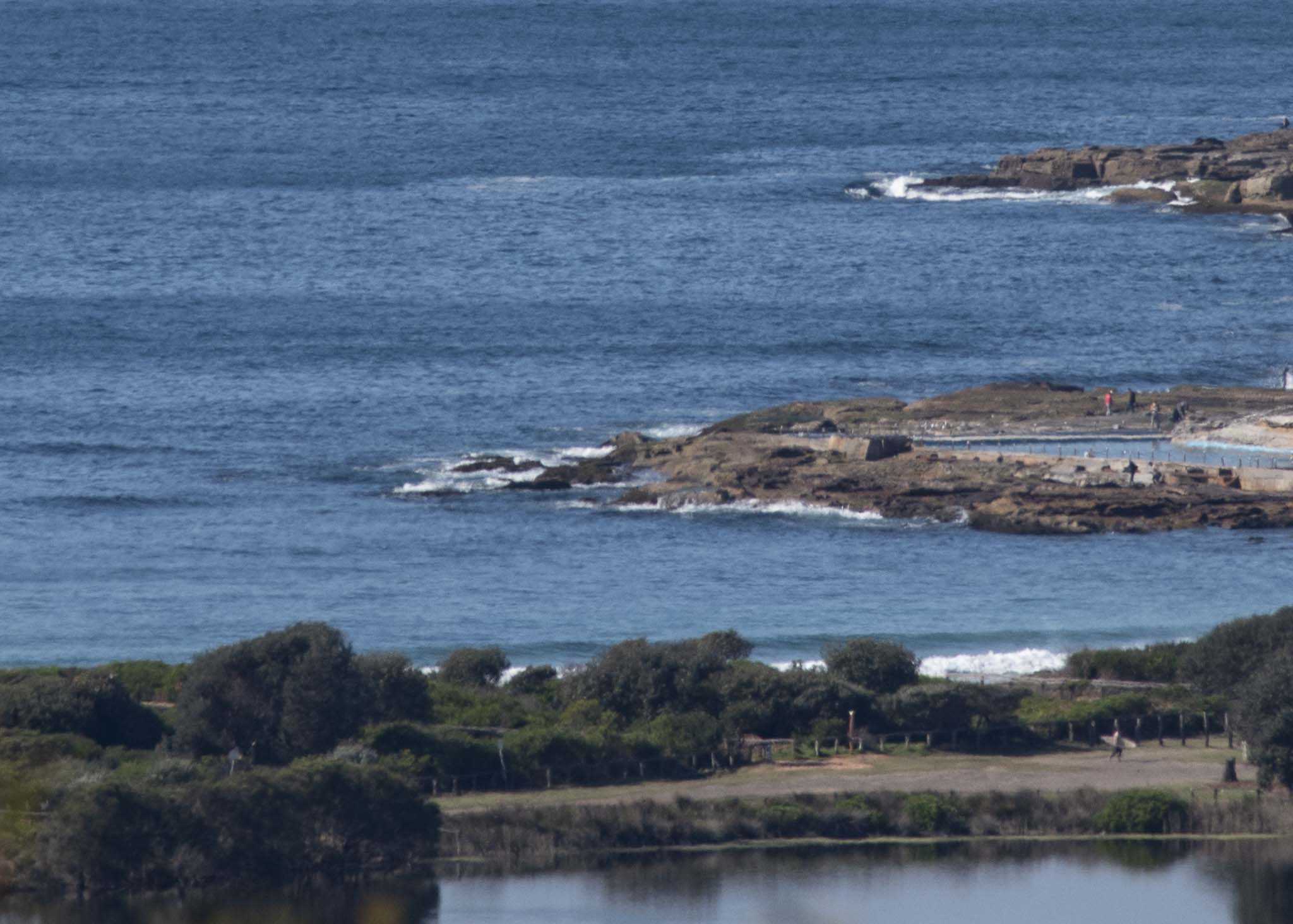
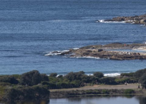
Corker of a day out there, but no hint of a wave that I can see. Modelling continues to offer only slight hope for any improvement – and only then from about mid-week. As always I hope to be found unduly pessimistic about the prospects. But I gotta call it as I see it too. So keep on smilin’, our waves will return!
Weather Situation
A high pressure system over southeast Australia is directing southeast to northeasterly winds onto the New South Wales coast today. This high is drifting slowly east, and will move over the Tasman Sea by today, where it should remain until mid-week. The next trough and southerly change looks set to affect the coast during the second half of the week, although its movement is currently quite uncertain.
Forecast for Monday until midnight
- Winds
- Variable about 10 knots becoming northeasterly 10 to 15 knots in the early afternoon.
- Seas
- Below 0.5 metres, increasing to around 1 metre during the afternoon.
- Swell
- Southerly around 1 metre.
- Weather
- Cloud clearing.
Tuesday 2 October
- Winds
- North to northeasterly 15 to 20 knots increasing to 20 to 25 knots in the late evening.
- Seas
- Around 1 metre, increasing to 1.5 to 2 metres by early evening.
- Swell
- Southerly below 1 metre.
- Weather
- Mostly sunny.
Wednesday 3 October
- Winds
- Northerly 15 to 25 knots turning east to northeasterly 10 to 15 knots during the afternoon.
- Seas
- 1 to 2 metres.
- Swell
- Northeast to southeasterly around 1 metre.
- Weather
- Partly cloudy.


