Hello Friends,
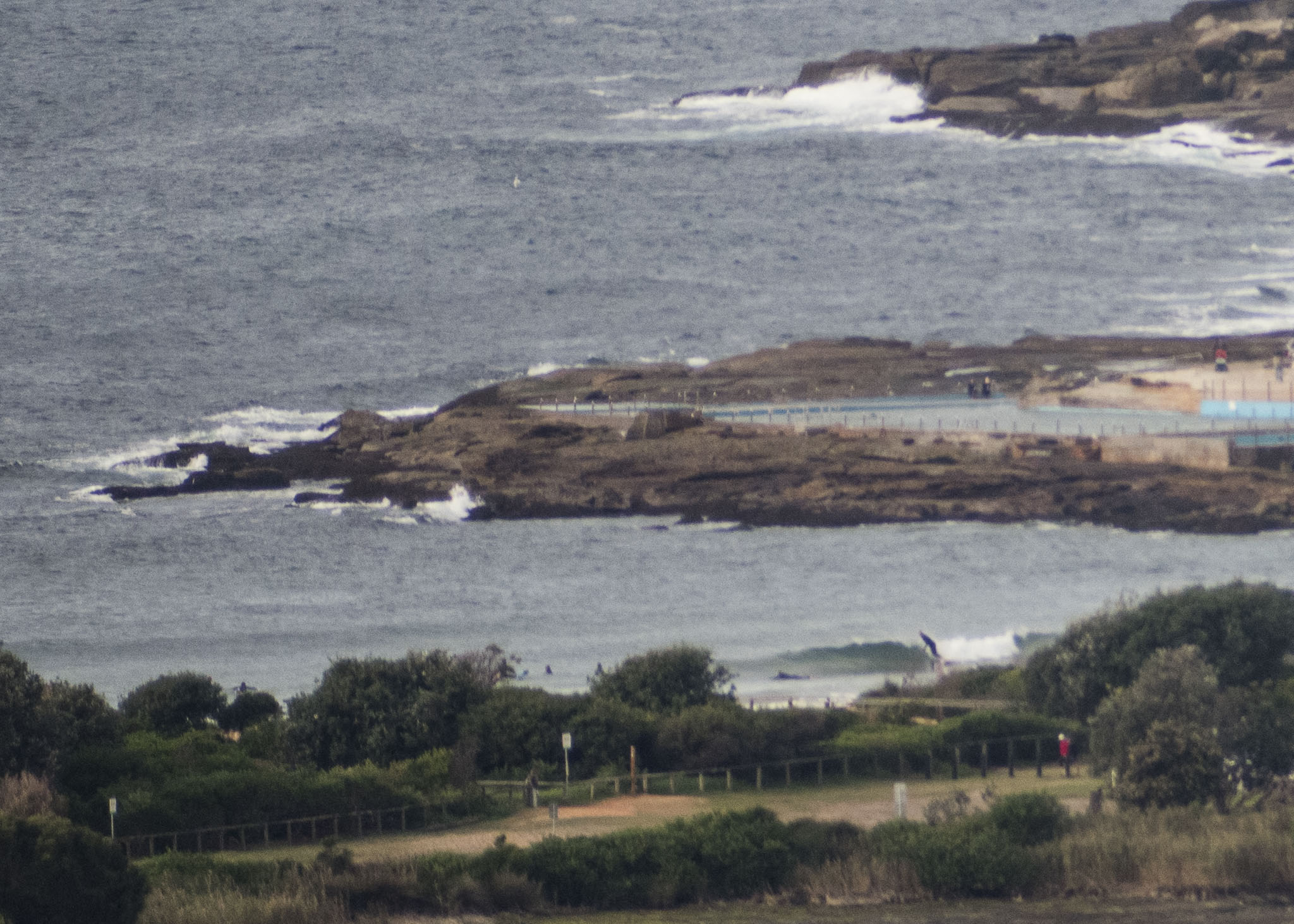
Usual late Sunday start by yours truly. Not much happening surfwise this morning at Dee Why. The point is flat and the beach looks to be around the knee high mark on sets. Out at sea there’s only a metre of 6 second ENE wind bump showing at the buoy. Wind at North Head was 8-13 kts from the north as of 0900 under overcast skies. From the shape of the forecasts, we probably won’t be seeing any real improvement to surf prospects until maybe Tuesday afternoon when the Bureau and the models are seeing a south pulse filling in. Right now it looks as though we should have reasonable size south energy from there on to next weekend. With luck the wind will have a touch of west to it in the mornings.
Have a great Sunday everyone!

Weather Situation
A broad high pressure system over the Tasman Sea extends a ridge to the northern New South Wales coast and southeastern Queensland, while a series of cold fronts approach from the west. The first of these fronts is forecast to slip across the south of the state this morning, before a second, stronger cold front moves across the state on Monday and early Tuesday. A low pressure system may form as the second front reaches the Tasman Sea on Tuesday, sending stronger winds and larger waves along the coast by mid-week.
Forecast for Sunday until midnight
- Winds
- Northerly 15 to 20 knots, tending northwesterly in the afternoon.
- Seas
- 1 to 1.5 metres.
- Swell
- Easterly below 1 metre.
- Weather
- Partly cloudy.
Monday 1 June
- Winds
- North to northwesterly 15 to 20 knots, increasing up to 25 knots offshore in the afternoon before turning westerly 15 to 20 knots in the evening.
- Seas
- 1 to 2 metres.
- Swell
- Easterly below 1 metre.
- Weather
- Partly cloudy. 70% chance of showers.
Tuesday 2 June
- Winds
- Westerly 20 to 30 knots tending southwesterly during the afternoon.
- Seas
- 1.5 to 2.5 metres.
- Swell
- Southerly below 1 metre, increasing to 1.5 to 2.5 metres during the afternoon or evening.
- Weather
- Cloudy. 80% chance of showers.


