Hello Friends,
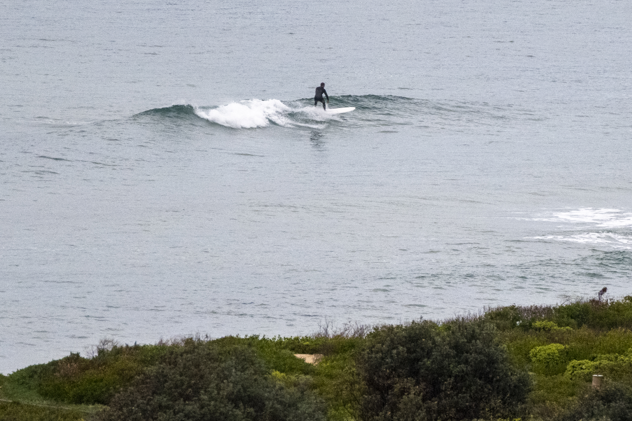
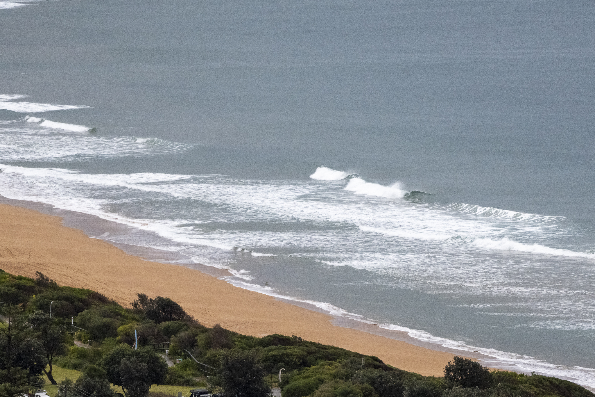
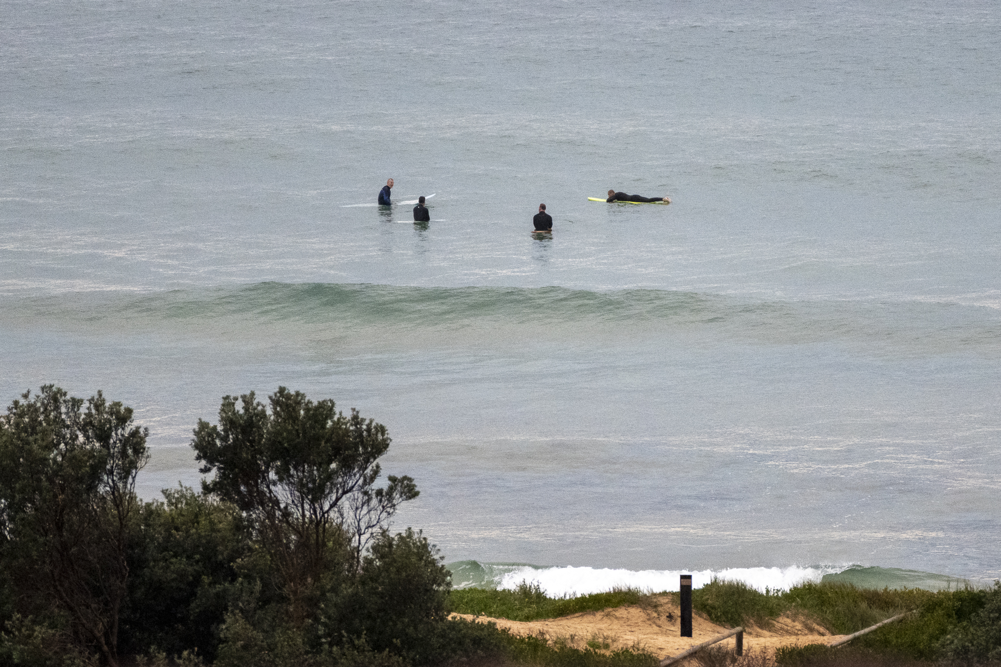
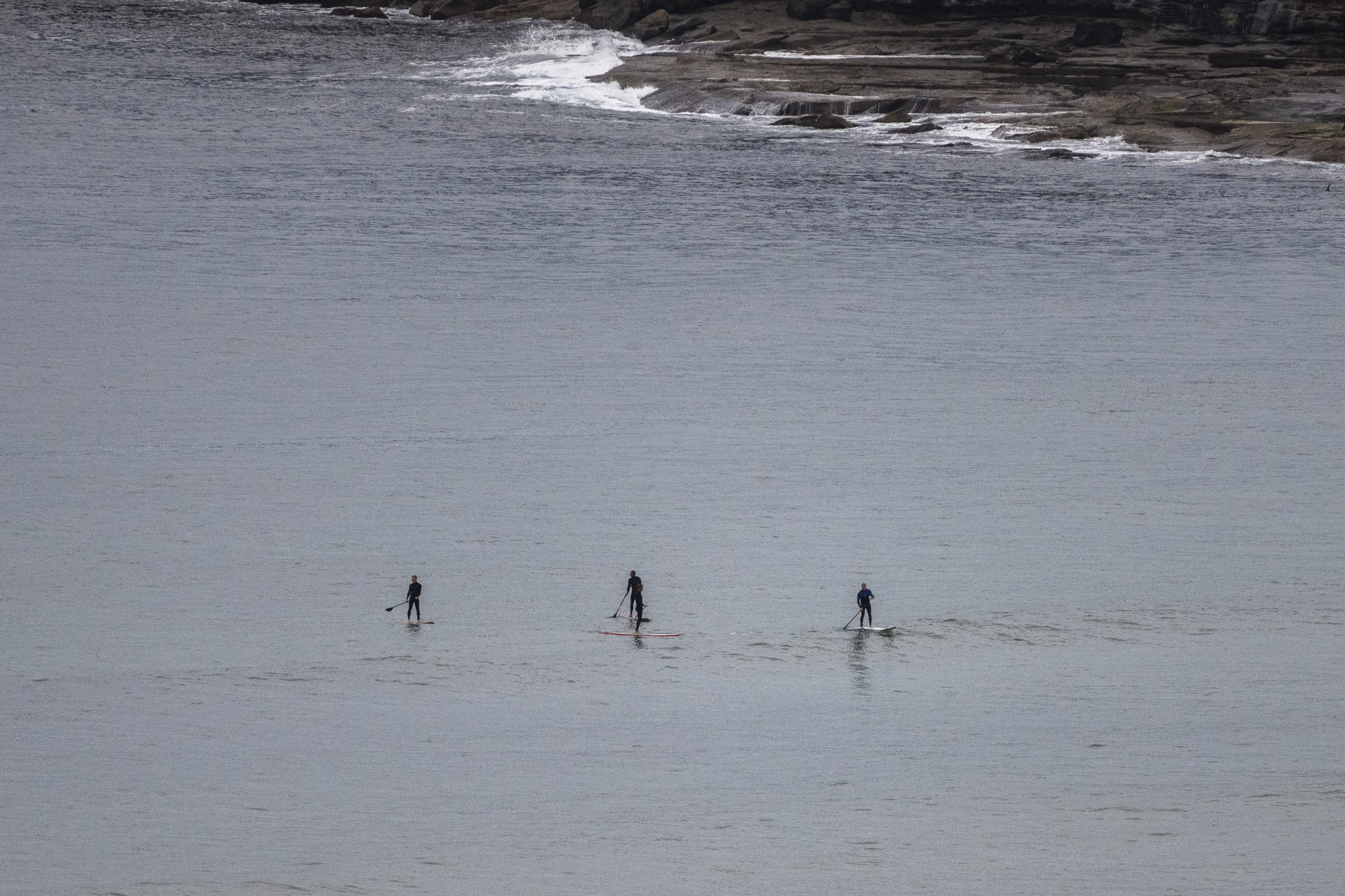
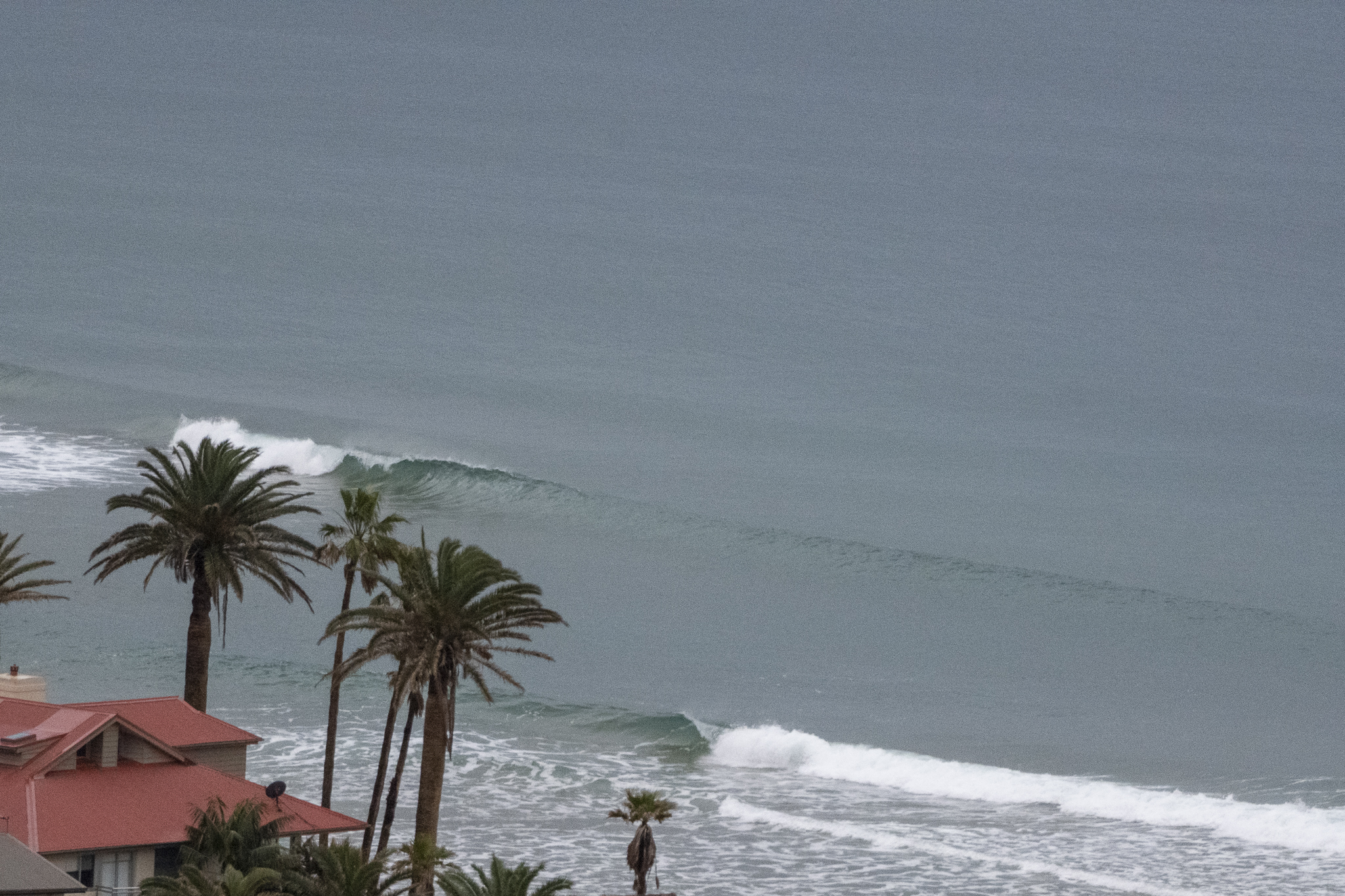
Not too surprising given the situation yesterday evening that we should have near flat conditions for Saturday morning. Swell at sea is 0.8 m from the east at 9 seconds apart, so every now and again the better tuned banks will produce a knee high lump suitable for a SUP or a mal. Kinda pointless taking the shortboard today.
I’m not seeing anything of interest surfwise for Sydney across the next few days. About the best we can hope for is that conditions will gradually improve from around Thursday as a small ESE pulse pushes into the metre plus range.
In the meantime, looks like your exercise plan b is the go.
Have a great Saturday everyone!
Weather Situation
A high pressure ridge extends from the Southern Ocean well south of Tasmania into the eastern Tasman Sea. A low pressure system is located over northern Victoria and will weaken today as an associated trough sweeps across New South Wales. A second low will develop offshore of the southern Tasman Sea during the day and move southeast towards Tasmania while deepening on Sunday.
Forecast for Saturday until midnight
- Winds
- North to northwesterly 10 to 15 knots tending west to northwesterly during the morning. Winds reaching up to 20 knots offshore in the late evening.
- Seas
- Around 1 metre.
- Swell
- East to northeasterly around 1 metre.
- Weather
- Cloudy. 80% chance of showers. The chance of a thunderstorm offshore.
Sunday 14 August
- Winds
- Northwesterly 15 to 20 knots turning westerly 15 to 25 knots during the morning.
- Seas
- Around 1 metre, increasing to 1 to 2 metres offshore.
- Swell
- Easterly around 1 metre.
- Weather
- Partly cloudy. 70% chance of showers. The chance of a thunderstorm offshore.
Monday 15 August
- Winds
- Westerly 15 to 25 knots.
- Seas
- Around 1 metre, increasing to 1.5 to 2 metres offshore.
- Swell
- Easterly around 1 metre.
- Weather
- Partly cloudy.


