Hello Friends,
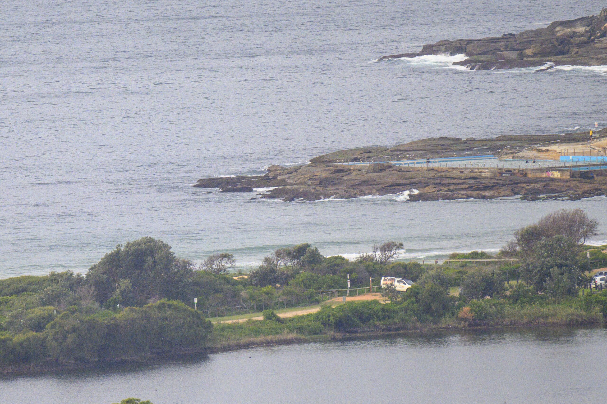
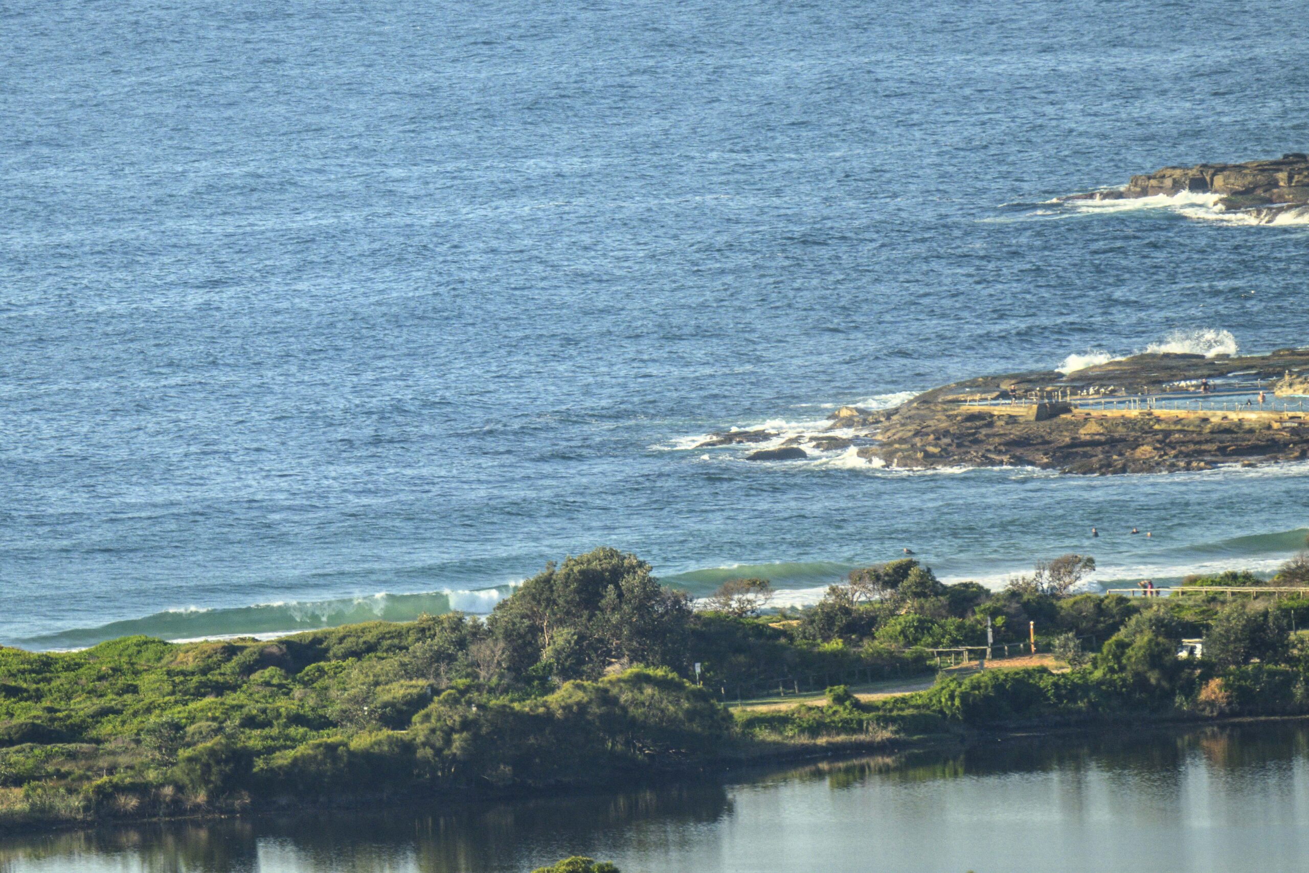
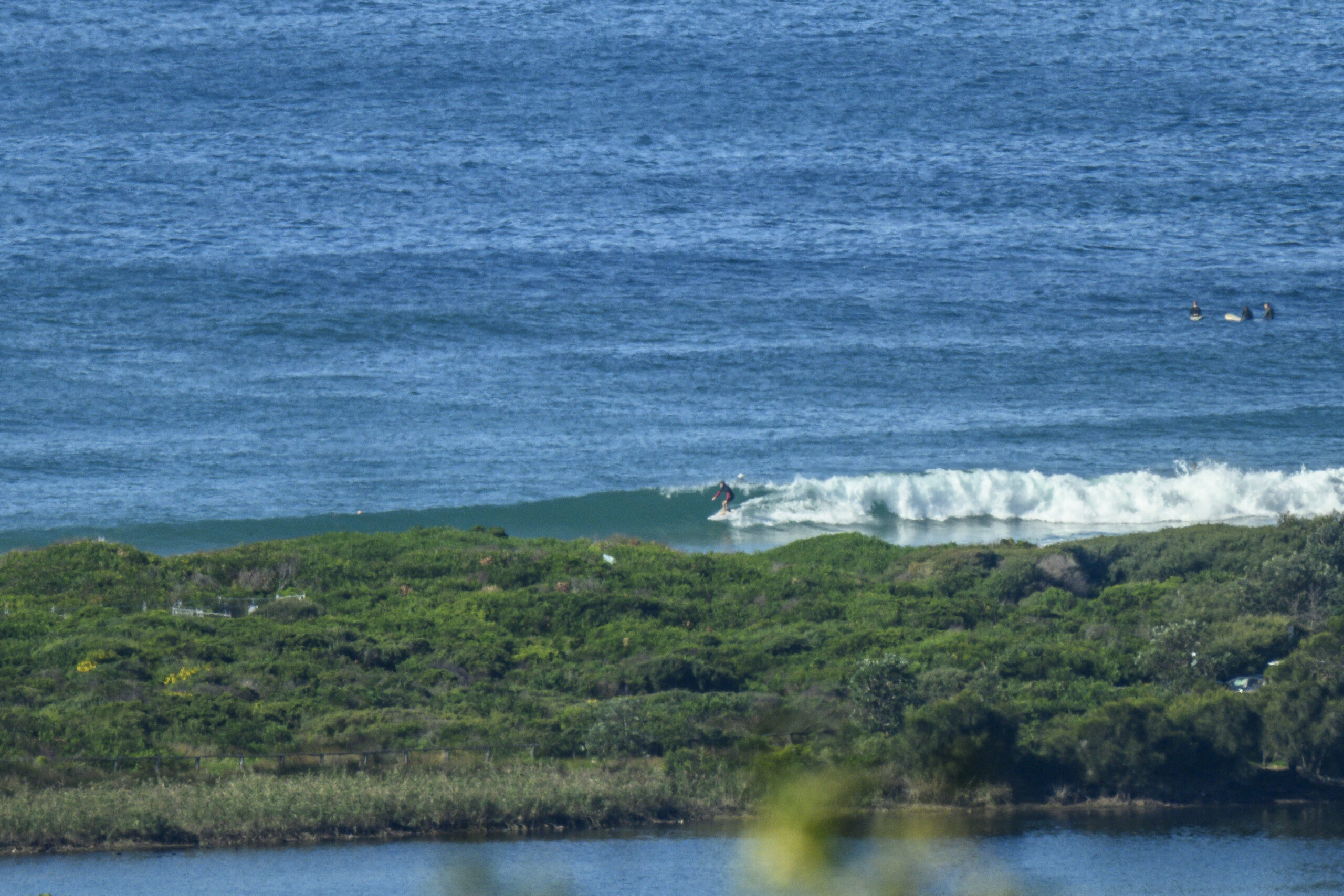
Looks as though it’s coming together this morning. We have a solid 2 metre plus SSE swell at about 11 seconds apart on average. Wind is currently out of the WSW at about 8 kts. Our next tide is a high at 0935.
Sets at Dee Why point are in the overhead range. Given that there is some 13 second component in the mix, you can expect the bomb sets at exposed places to potentially be into the double overhead range. From the look of the buoy data south of us, the swell should push along at about the current size for the rest of the day.
On current projections, this is peak day for the swell, but the decline toward smallness around Thursday could be a gradual one. And the very long range forecast currently shows another south pulse arriving late Saturday.
Here’s the Bureau’s call:
Sydney Coastal Waters, Broken Bay to Port Hacking and 60nm seawards:
Monday until midnight: Wind: SW/SE 10/15 knots. Sea: 1 to 1.5 metres.Swell: S/SE 2.5 to 3.5 metres, breaking dangerously, close inshore.
Tuesday: Wind: SW/SE 10/20 knots. Sea: 1 to 2 metres. Swell: S/SE 2 to 3 metres.
Wednesday: Wind: W/SW 10/20 knots.
Go well with your day!


