Hello Friends,
I’d hoped for better this morning. But it was not to be. The forecast last night was calling for light NW breezes to begin with, but instead we have a junk-inducing NE’r. Swell, as expected, has further weakened overnight and is now around the metre mark out at sea with an average period of 8 seconds. However, it’s coming from the SE and there is still some 12 sec component showing in the mix, so you just might see the odd waist high plus set at perfectly exposed stretches.
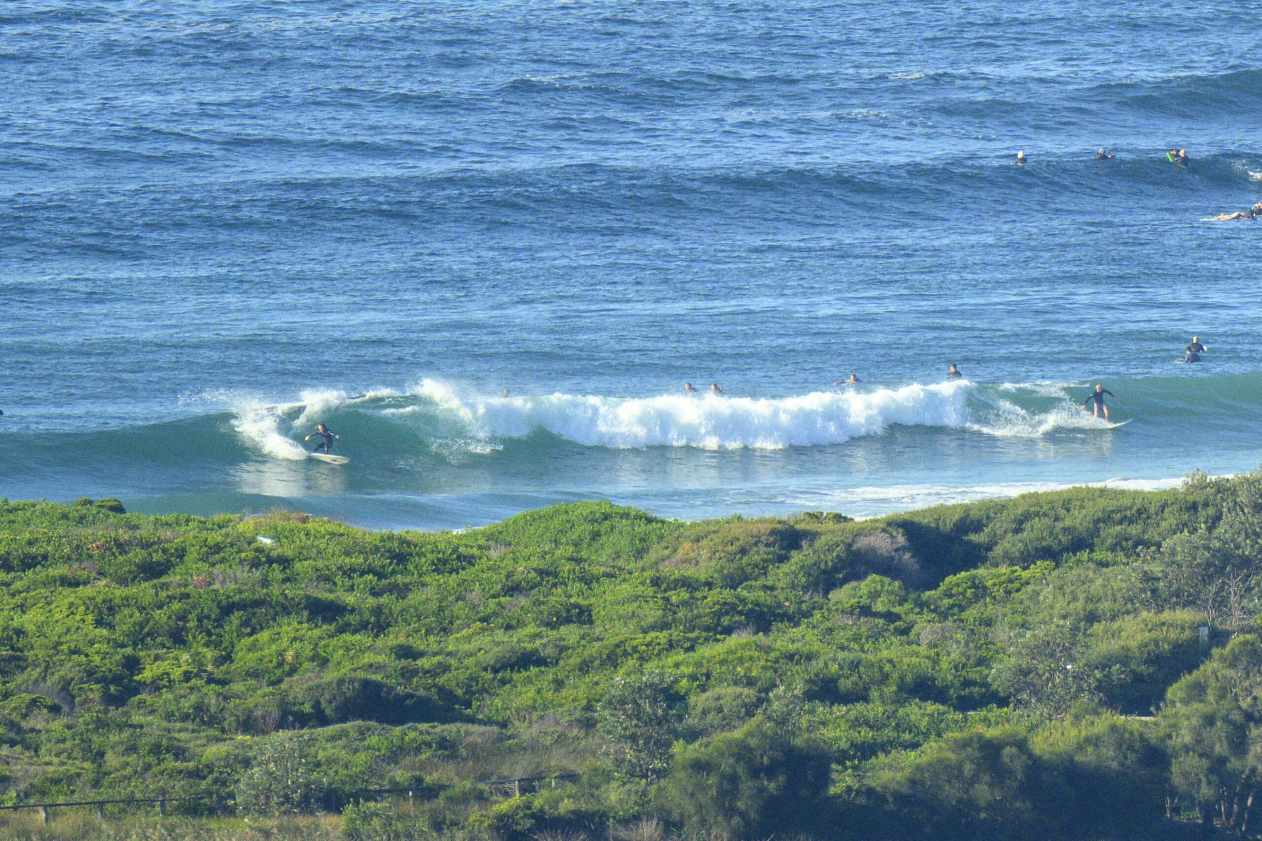
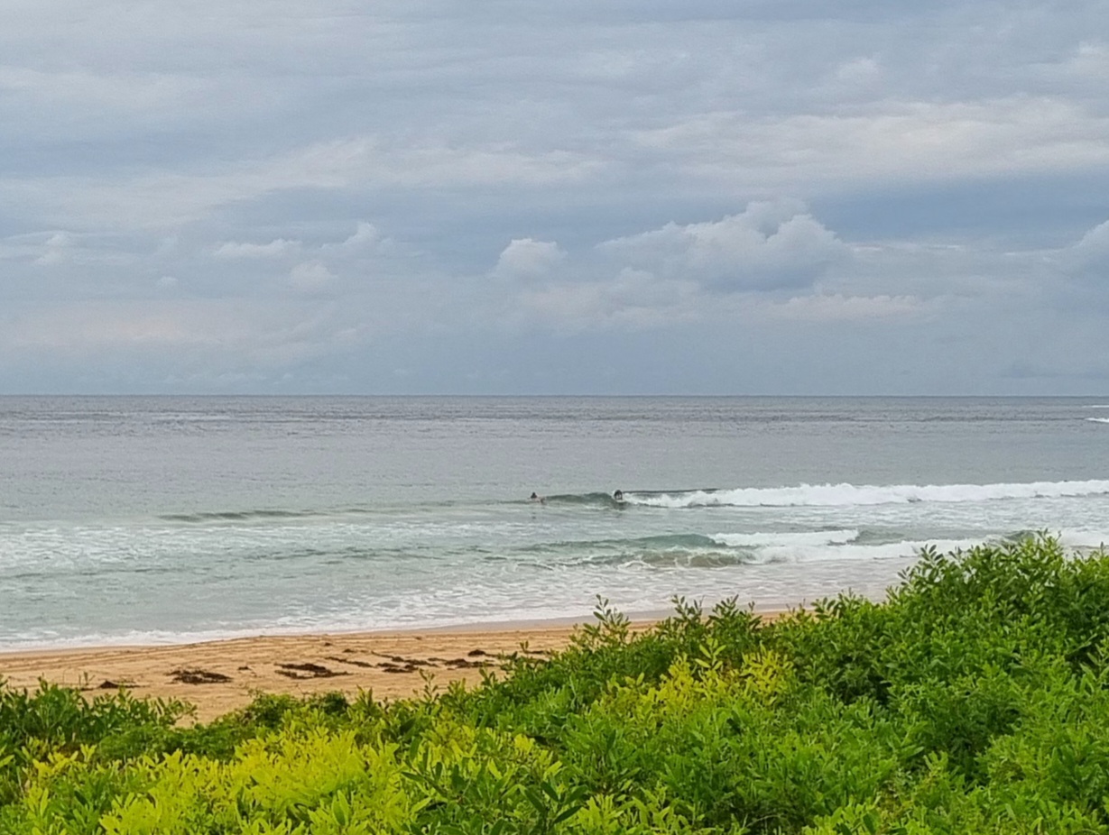
Dee Why, as the picture below illustrates, is junky and struggling to produce anything much above knee high for the hardy crew in the water at Kiddies.
The not so great news is that we’re heading into a pretty ordinary run of conditions across the next week. The models are all showing very small, short period generally easterly windswell conditions through about Tuesday. Then the swell direction swings southerly but the periods are generally in the sub 8 sec range (possible little long period pulse late Tues afternoon) through about Thursday, when the long range forecast calls for us to see a return to short period E-NE windswell.
The WAMs are showing a reasonable level of activity out in the Tasman toward the end of the week, but the fetch is pointed away from us. Could be fun over in NZ…

Sydney Coastal Waters, Broken Bay to Port Hacking and 60nm seawards:
Saturday until midnight: Wind: NE 10/15 knots, increasing to 15/20 knots in the afternoon.Sea: 1 to 1.5 metres, rising to 1.5 to 2 metres. Swell: SE 1 to 1.5 metres.
Sunday: Wind: N/NE 15/20 knots, increasing to 20/25 knots in the afternoon.Sea: 1.5 to 2 metres, rising to 2 to 2.5 metres. Swell: NE 1 to 1.5 metres.
Monday: Wind: SE/NE 5/15 knots.
[starratingmulti id=1 tpl=12]


