Hello Friends,
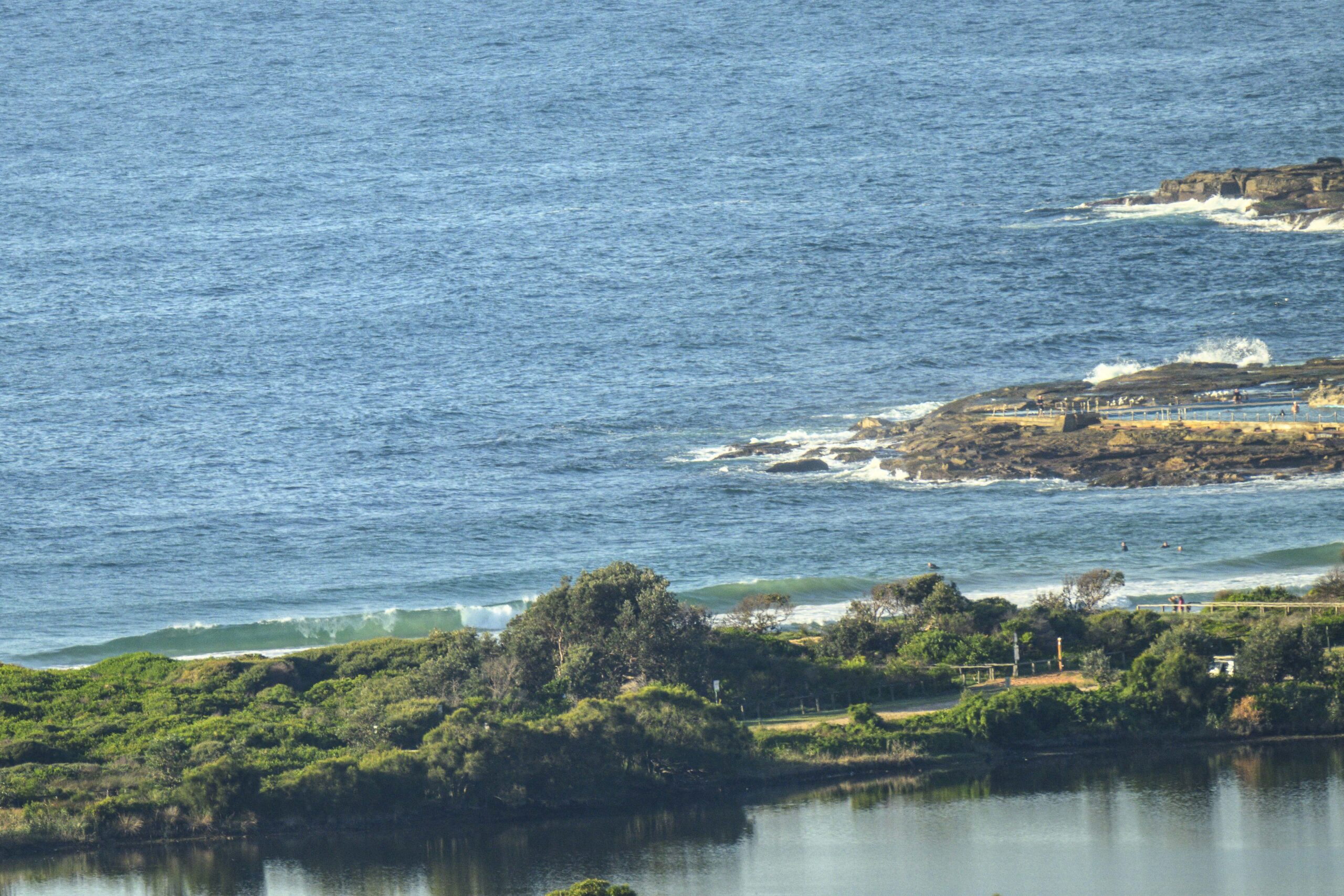
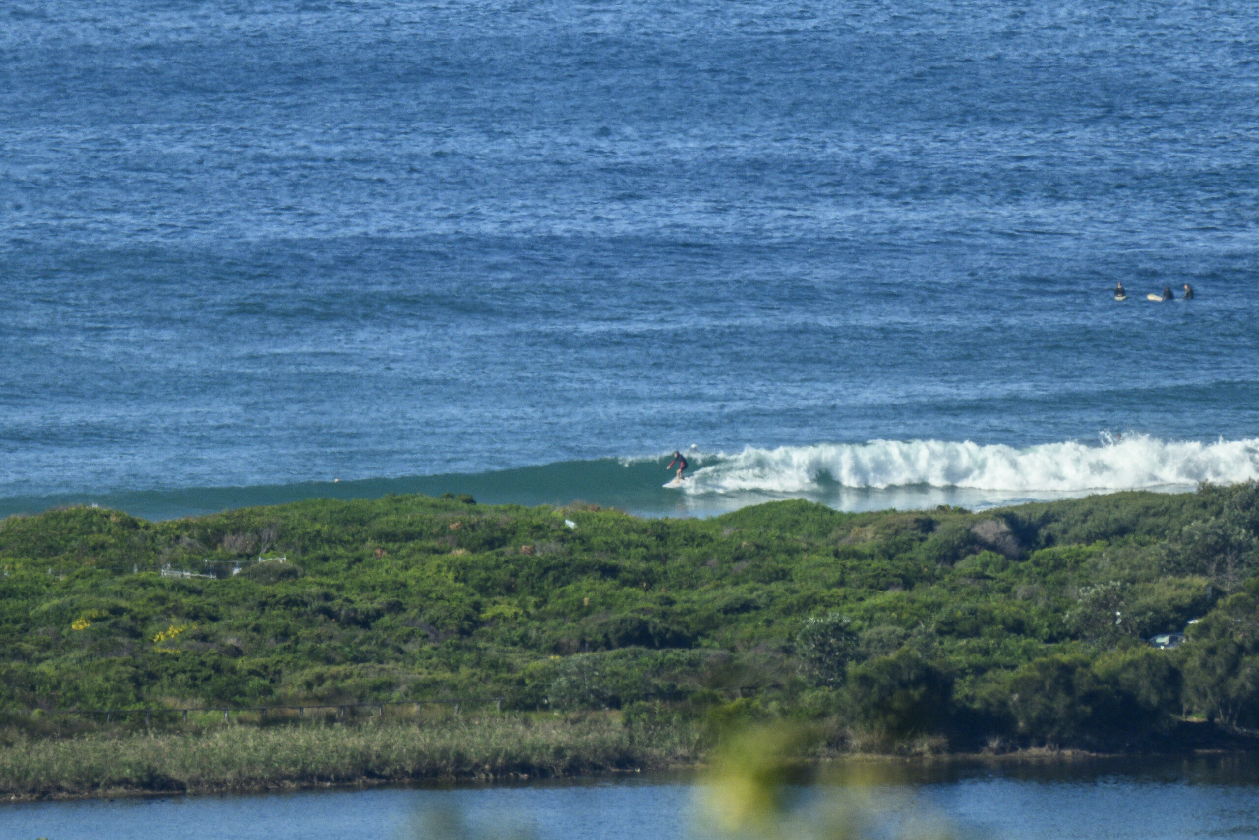
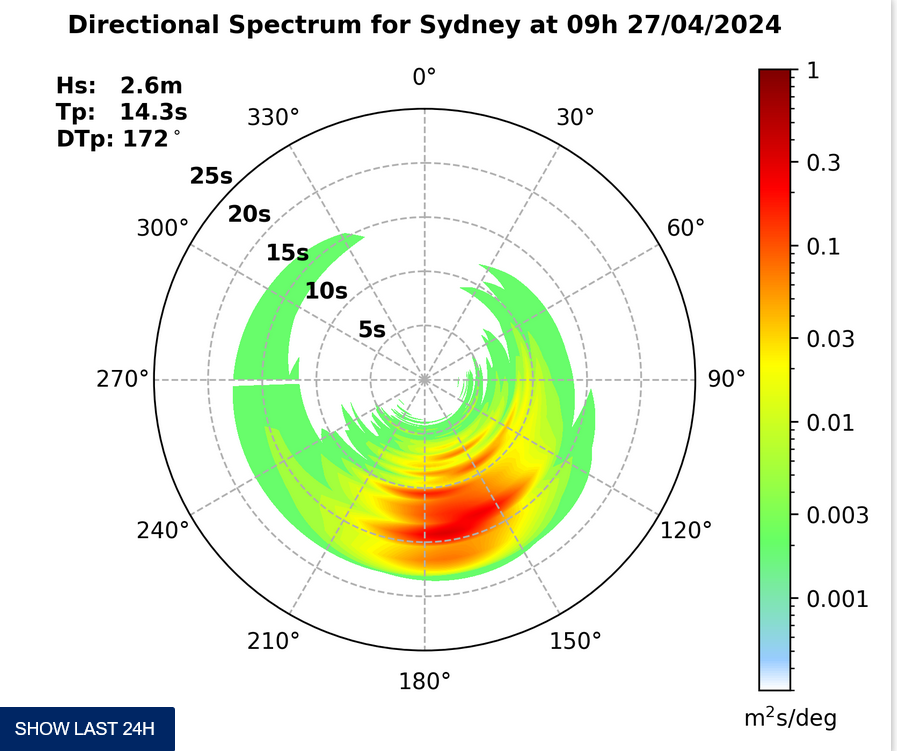
Off to work and school with you Sydneysiders. There is no surf to distract from obligation. And it looks like it’s the same up and down the east coast. Off Sydney the swell is about 0.5 metre out of the south at about 5 seconds apart. Clear skies to start and the Bureau has hoisted the gale warning for powering westerlies. They’re set to shift SW later and they’ll make it pretty rough out at sea, so I wouldn’t be putting the tinny in if I was you.
The latest run of the forecasts shows a little depression forming off the coast today. That should deliver us a solid pulse tomorrow but the question is how much wind we’ll get with it. According to the Bureau it’ll go from howling SW’ly to powering southerly as Tuesday unfolds. So there may not be too many clean options around the place, even though the swell could be approaching the double overhead mark by late tomorrow at south spots.
On current reckoning, Wednesday should be smaller but with more favourable wind settings as it swings more west. And it also seems that we should have surf right through next weekend. So get those chores sorted today because all indications are that the flatness is going away…
Go well!
TIDES: L @0620, H @1250
Sydney Coastal Waters, Broken Bay to Port Hacking and 60nm seawards:
Gale Warning.
Monday until midnight: Wind: Westerly 20 to 30 knots tending southwesterly 25 to 35 knots by early evening.Sea: Up to 3 metres increasing to 3 to 4 metres by early evening.Swell: Easterly about 1 metre tending southwesterly 1 metre during the evening.
Tuesday: Wind: South to southwesterly 25 to 35 knots tending southerly 20 to 30 knots by early evening.Sea: Up to 4 metres decreasing to 2 metres later in the evening.Swell: Southerly about 2 metres.
Wednesday: Wind: Southwesterly 15 to 20 knots tending west to northwesterly up to 15 knots during the morning then tending westerly 10 to 20 knots during the evening.


