Hello Friends,
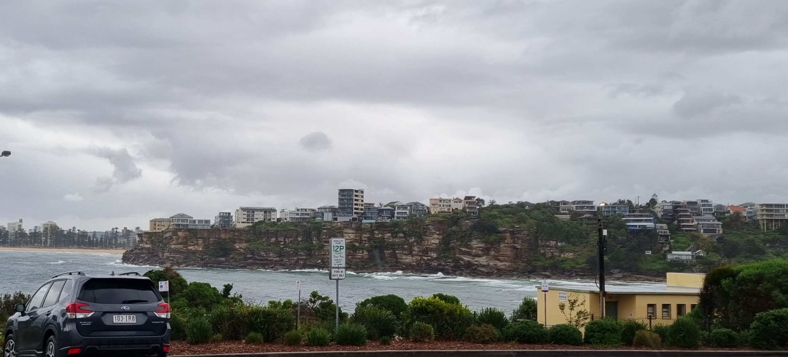
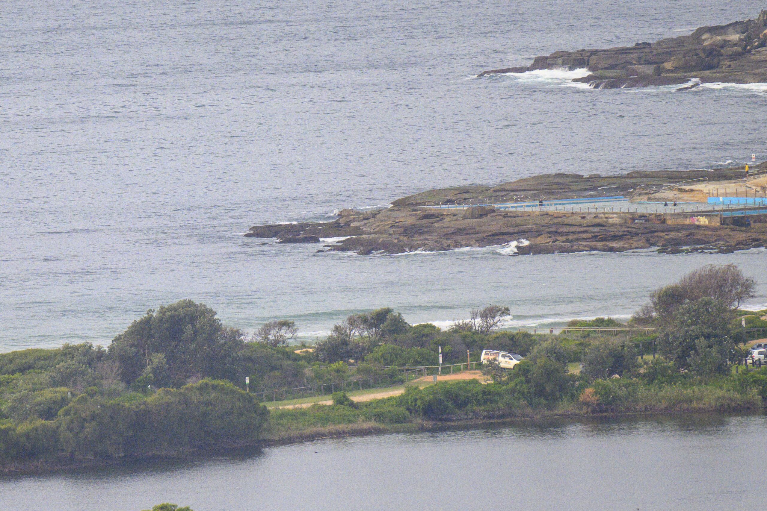
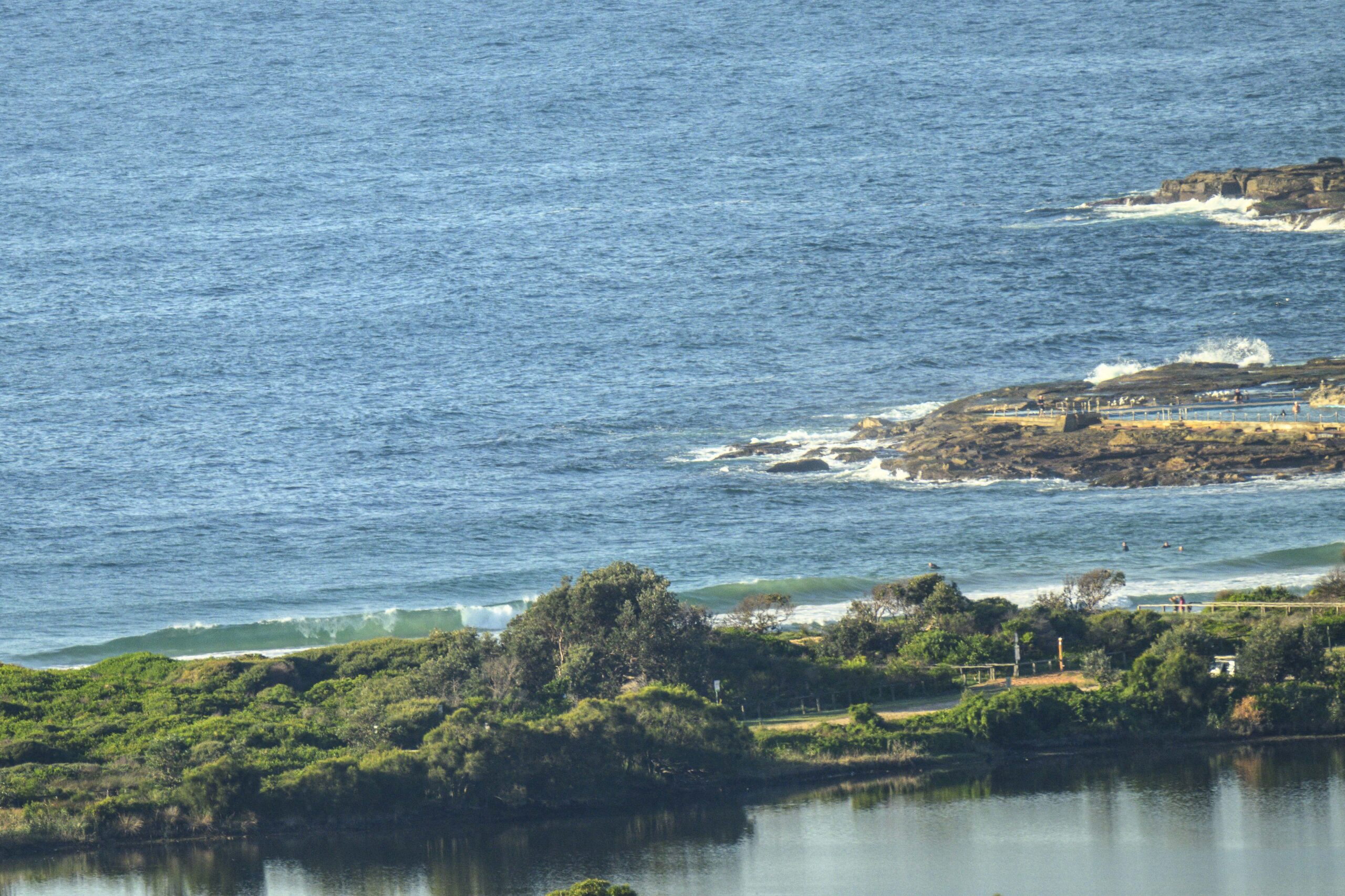
The Bureau’s call is for SE wind today in the 15 kt range. As things got started this morning, swell was around two metres from the south at around 8 seconds apart. At Dee Why that means a few widely spaced waist to chest high things along the beach, and not much of anything at the point. Winds were very light but the baleful direction does not bode well for later.
The Bureau and this morning’s run of the models say that we’re in a downward trend over the next 72 hours or so. If you’re keen, the plan is to get out there as early as you can and see if you can find something at your favourite south swell spot because the next opportunity looks as though it could be around Saturday when we might get another small south pulse.
Go well with your day and keep on smilin’!

Weather Situation
A high pressure ridge dominates NSW coast with winds expected to ease and tend east to northeast by the end of the day. Fresh northwesterly airstream is expected to develop on Thursday ahead of an approaching cold front. Winds are likely to become strong and gusty on Friday and tend west to southwest in a wake of the front.
Forecast for Wednesday until midnightWinds: Southeasterly 5 to 15 knots. Seas: Below 1 metre. Swell: Southeasterly 1.5 metres.
Forecast for ThursdayWinds: Northeasterly 5 to 15 knots tending northerly 15 to 20 knots around midday then tending northwesterly 20 to 30 knots during the afternoon. Seas: Below 1 metre increasing to 1 to 2 metres around midday then increasing to 3 metres by early evening. Swell: Southeasterly about 1.5 metres.
Forecast for FridayWinds: West to northwesterly 15 to 25 knots tending westerly 20 to 30 knots during the afternoon. Seas: 1 to 2 metres increasing to 3 metres during the afternoon. Swell: Easterly 1 metre tending northeasterly during the evening.


