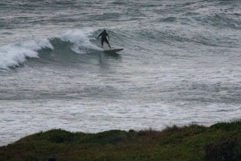
Unexpectedly interesting Tuesday morning
Hello Friends, The Bureau says it’s on the fade, but this morning saw an 8-sec 1.3 metre SSE wind swell producing knee to waist plus waves at the point and up the beach. Wind was a light and somewhat chilly westerly at 0700 and tide was coming into the high at around 1000 under mostly […]
Small but not flat on Monday morning
Hello Friends, Light north wind as the day got started and swell was a touch under a metre out of the SE at 9 seconds apart. At Dee Why there were knee to waist-ish lines at both the point and along the beach. Tide was still coming into the high at 0910. There’s a strong […]
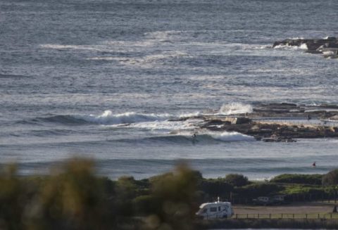
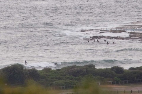
Knee to waist high at Dee Why this morning
Hello Friends, Getting into the marginal range this morning at the point. Swell’s coming from the east at around a metre with an average period of under 8 seconds. That means knee to waist on the catchable ones at the point, and something similar along the beach. Winds were light and from the N to […]
Fading but light offshore early
Hello Friends, Swell’s dropped overnight as expected, but there were still a few waist high plus waves to be had along the beach and, very occasionally, the point. Wind was lightly from the NW and the latest data from the MHL buoy (c. 0400) was showing 1.7 metres of 9s swell from the SSE, along […]
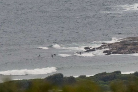
Scrappy and full early but small waves

Hello Friends, Case of morning sickness at the point and along the beach at Dee Why this morning. Wind was north about 4-8 kts when I took the picture but the forecast tells us it’ll be 15-20 kts from the N-NE soon enough. At 0400 the MHL buoy recorded the swell coming from the NE. […]
Hello Friends, Light SSW wind for the early, so surface conditions were comparatively smooth. But the wind’ll swing southerly soon and that, combined with a 0735 high tide, means the 1.5 metres or so of 8 sec SSE wind swell won’t be producing much of interest. If you were out early, before the wind kicked […]
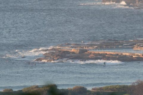
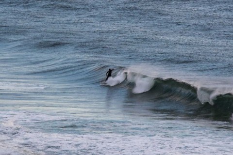
Another grey start and smaller surf too
Hello Friends, The Bureau has a warning posted for deceptively powerful surf conditions and at 0400 the MHL buoy was showing close to two metres at 12 seconds (plus there was some smaller, weaker component from the NE) – but, as the picture shows, it was pretty quiet looking at Dee Why around 0645. Maybe […]
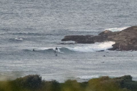
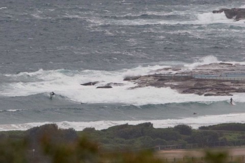
Scrappy Saturday
Hello Friends, That curse’d ol’ SSE easter is really pranging the surface conditions this morning. We do have swell, indeed a few hours ago the MHL buoy was detecting 2.5 metres from the SSE at 11 seconds apart. Unfortunately, as the pictures show, it was really pretty junky and disorganised at even the magnet spots […]
Stormy Monday morning
Hello Friends, Wind was straight east outside the RealSurf wheelhouse as your correspondent climbed aloft for a look at the situation around 0730. Skies were dark and the ocean was a similar shade. Easy to believe there’s a 90% chance of rain. Wind was ESE at around 15 kts and the forecast tells us it’ll […]
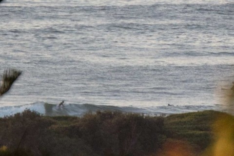
Little waves for Christmas morning
Hello Friends, Just jamming in a quick report before the family rouses on Christmas morning. It’s not much weatherwise, kinda dull really, but there are some little knee to waist-ish things flopping over along the beach and even occasionally at the point. At 0830 the wind was lightly NE and a couple of hours ago […]