Hello Friends,
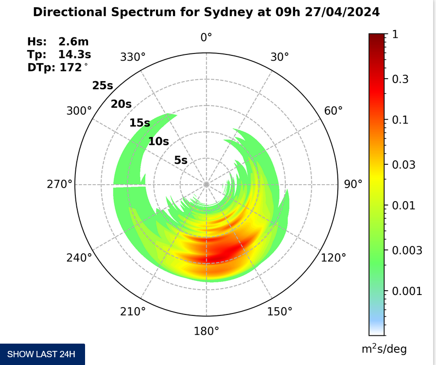
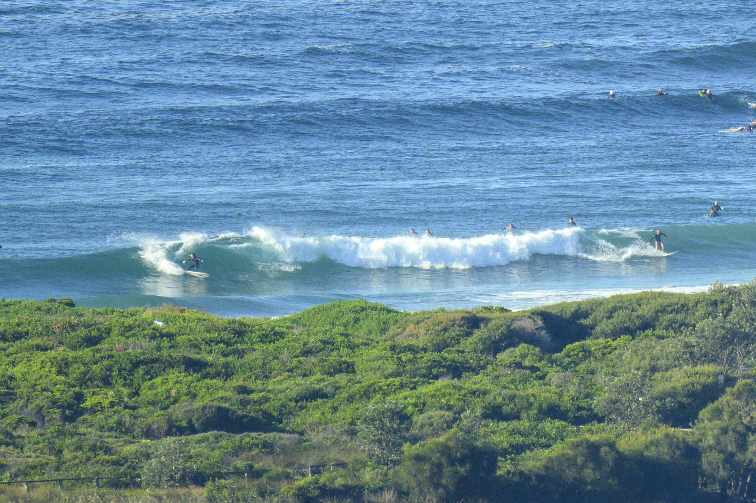
It’s cleaned up remarkably overnight but the swell’s not exactly pumping. As the day kicked off it was about 8 seconds apart and coming from the SE at around 1.5m. For Dee Why that translated into a marginal knee to waist high. There wasn’t anyone in the water partaking, so that tells you something.
As the Bureau’s forecast details below, the wind is set to back off today and stay out of the SW most of the time before getting more around to the west toward dark. But it doesn’t look as though the swell will be doing much in the meantime. That low pressure system has to get further out to sea and the big area of southerly fetch below Tasmania has to drift further to the east before it can start loading up the ocean with corduroy late tomorrow.
The models have remained comparatively steadfast about our prospects for a significant south swell event starting up from around lunchtime Thursday and building into the 4 metre range on Friday. If all goes as they currently forecast, the energy will peak overnight Friday but still be pushing along pretty seriously for Saturday. Curiously, some predictions are showing it all falling in a heap on Sunday but bouncing back a little on Monday. However, there isn’t unanimity on this score and some riffs on the underlying WAM data reckon it’ll be good basically from Friday through Monday. As usual, the models propose and Huey disposes.
Have yourself a top old day and go well with your plans!

Weather Situation from the Bureau of Meterology
A low pressure system off the central coast of NSW will deepen and move rapidly away from the coast later Wednesday morning and winds should ease gradually. Another cold front is expected to move over the southwestern Tasman Sea later on Thursday.
Forecast for Wednesday until midnightWinds: Southwesterly 25 to 35 knots decreasing below 30 knots around midday then decreasing to 15 to 20 knots during the afternoon. Winds tending west to southwesterly 20 to 30 knots by early evening. Seas: 3 to 4 metres decreasing to 2 metres around midday then increasing to 3 metres later in the evening. Swell: Southerly about 1.5 metres. Swell: Easterly 1.5 metres decreasing to about 1 metre late in the morning then tending southeasterly 1.5 metres from midday.
Forecast for Thursday
Winds: Westerly 20 to 30 knots decreasing to 20 to 25 knots around dawn then tending west to southwesterly 15 to 20 knots around midday. Winds tending westerly 25 to 30 knots by early evening. Seas: Up to 3 metres decreasing to 2 metres during the morning then increasing to 2 to 3 metres by early evening. Swell: Southerly about 1.5 metres increasing to 1.5 to 3 metres from the late morning.
Forecast for Friday
Winds: Westerly 20 to 30 knots tending west to southwesterly 20 to 25 knots during the morning then tending south to southwesterly 10 to 20 knots during the afternoon. Winds tending west to southwesterly 10 to 15 knots during the evening. Seas: Up to 3 metres decreasing below 1.5 metres during the afternoon. Swell: Southerly 2 to 3 metres increasing to 3 to 4 metres from the morning.


